
Outdoor activities
Battle of the Châteauguay National Historic Site
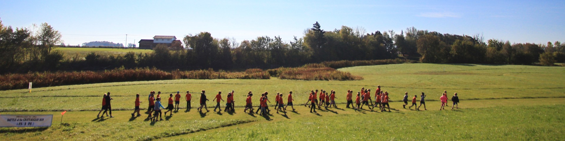
The outdoor area of the Battle of the Châteauguay National Historic Site can be visited on your own.
You can visit the outdoor site on your own, whether you get there by bicycle or by car. A parking lot, a bike rack and picnic tables are at your disposal. Please note, however, that there are no restrooms or water fountains.
You can do the following activities on your own:
- Self-guided tour to see the commemorative plaque, which has been at the entrance to the visitor center since 1978, and the commemorative obelisk, raised in 1895 by the Canadian Parliament.
- Pause or picnic in the grassy area.
- Self-guided tour of the marked trail of the battlefield, by car or bicycle.
There are also facilities available for your use:
- Parking
- Bike rack
- Picnic tables
Please note: there are no restrooms or water fountains on site.
Self-guided tour of the monuments

Whether you are walking or cycling, you will have the chance to stroll around the site to see the commemorative plaque at the entrance to the interpretation center—which was installed in 1978—and read about the battle of October 26, 1813.
You can then head to the picnic area to admire the commemorative obelisk, which was raised in 1895 by the Canadian Parliament. It commemorates the Battle of Châteauguay and the important role of the Lower Canadian militia in this historic event.
Rest or picnic in the grassy area

Enjoy the grassy area and picnic tables by the river for a break or a picnic with friends, family or on your own.
Self-guided tour of the marked trail of the battlefield

Step back in time to the historic event of October 26, 1813, by observing the archaeological landscapes of the battlefield and reliving this military triumph.
Useful information
- Length of the battlefield: 14 kilometres
- Length of the marked trail: just over 19 kilometres, between Ormstown and Sainte-Martine
- Approximate duration of the entire marked trail: 60 minutes by car and 90 minutes by bike. Walking is not recommended.

Download the 2025 battlefield marked trail map (PDF, 1.87 MB).
Follow the Chemin de la rivière Châteauguay and discover the 13 historical markers, each with its own fascinating story.
| Marker | Station name | Nearby | Geographic coordinates in decimal degrees [latitude, longitude] |
|---|---|---|---|
| 1 | Montreal: a strategic destination! | Route 138, near the confluence of the Outardes and Châteauguay rivers, in Ormstown | 45.1243° N, -74.0031° W |
| 2 | The American encampment | 2002, chemin de la Rivière-Châteauguay, in Ormstown | 45.1265° N, -73.9816° W |
| 3 | American troops routed! | 3148, chemin de la Rivière-Châteauguay, in Ormstown | 45.1516° N, -73.9393° W |
| 4 | Unequal forces on the line of fire | 2371, chemin de la Rivière-Châteauguay, in Howick | 45.1575° N, -73.9307° W |
| 5 | Reserve troops: first entrenchment | 2207, chemin de la Rivière-Châteauguay, in Howick | 45.1646° N, -73.9255° W |
| 6 | Reserve troops: second entrenchment | 2050, chemin de la Rivière-Châteauguay, in Howick | 45.1704° N, -73.9189° W |
| 7 | Reserve troops: third entrenchment | 2050, chemin de la Rivière-Châteauguay, in Howick | 45.1714° N, -73.9177° W |
| 8 | Reserve troops: fourth and final entrenchment | 1981, chemin de la Rivière-Châteauguay, in Howick | 45.1739° N, -73.915° W |
| 9 | Morrison’s Ford: a strategic crossing | 1867, chemin de la Rivière-Châteauguay, in Howick | 45.1784° N, -73.9084° W |
| 10 | The Morrison House: a multipurpose refuge | 1765, chemin de la Rivière-Châteauguay, in Howick | 45.1809° N, -73.9037° W |
| 11 | Officer’s quarters on the battlefield | 1161, chemin de la Rivière-Châteauguay, in Howick | 45.1966° N, -73.8741° W |
| 12 | Supplying the troops | 315, rang Laberge, in Sainte-Martine | 45.2198° N, -73.8403° W |
| 13 | To protect Montreal! | 355, rang Touchette, Sainte-Martine | 45.2173° N, -73.829° W |
- Date modified :