

Hiking
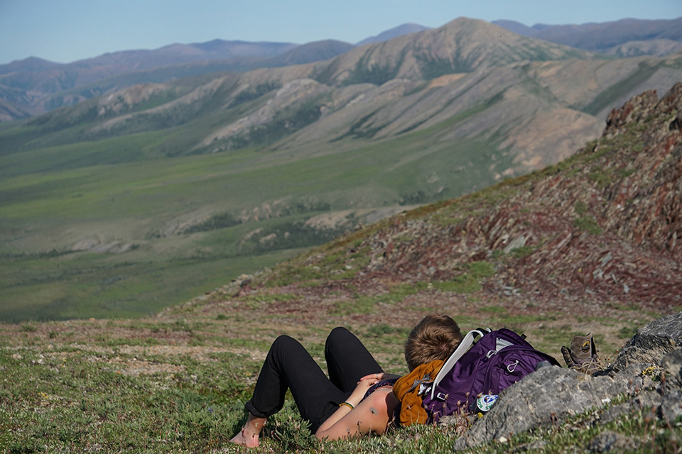
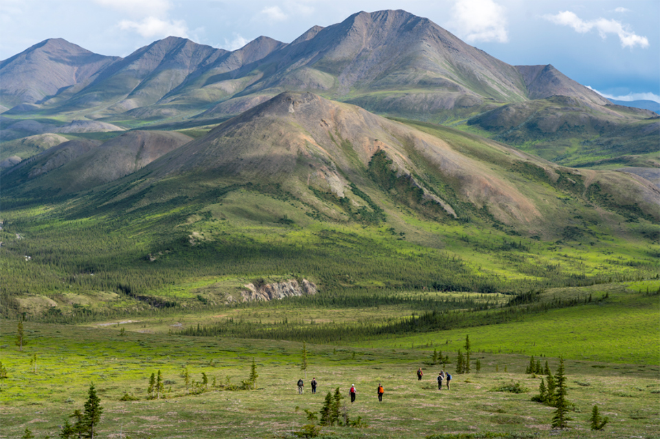
With its open terrain and abundant wildlife, Ivvavik National Park is an ideal setting for an Arctic hiking experience. Wildlife viewing, photography and birding are all popular activities for park visitors traveling on foot. Enjoy the changing landscape and vegetation as you travel from the rolling mountains, through the river valley, and to the coastal plain. Watch out for some of the natural inhabitants of the park such as caribou, grizzly bears, wolves, foxes, muskoxen, gyrfalcons, and golden eagles.
Visit our visitor safety page for more information.
Know before you go
The hiking season extends from mid-June until mid-August. A particularly beautiful time to visit is the end of June and early July, when the tundra is carpeted with wildflowers and the caribou are migrating through the park. Hikes can be extended into the third week of August when the autumn colours are at their peak. However, hikers who plan trips this late in the season must be prepared for winter-like conditions and delays due to heavy fog.
Popular air access points for hiking include Sheep Creek, Margaret Lake, Komakuk Beach and Stokes Point.
Terrain
All hiking takes place by following approximate routes, general directions from one area to another, and unmistakable landmarks such as creeks, rivers, valleys, lakes, eskers, and hills. Support your intended hiking route by thoroughly investigating using topographic maps and, if possible, air photos.
Trails accessible from Ivvavik Base Camp
Easy Trails |
Time (roundtrip) |
Distance (roundtrip) |
Elevation gain |
Description |
|---|---|---|---|---|
| Sheep Slot | 1.5 hrs | 3.5 km | 16 m | Head south along the plateau from the junction of Sheep Creek and the Firth River to a formidable Class IV rapid. |
| Gordon’s Food Cache | 1-2 hrs | 2.8 km | 126 m | This hike leaves the base camp’s airstrip and follows game trails along the Firth River canyon. It may take a few moments to locate this food cache, as only the fallen remains of a “stage” are now visible. |
| Sheep Creek | 4-6 hrs | 5.5 km | 16 m | This route leaves Ivvavik Base Camp and follows an old mining trail up the valley along the creek. |
Moderate Trails |
Time (roundtrip) |
Distance (roundtrip) |
Elevation gain |
Description |
|---|---|---|---|---|
| Ridge Walk (Trapper’s Campsite) |
6 hrs | 5.2 km | 555 m | This is a comfortable, middle length hike with a moderate slope and wonderful views. |
| Inspiration Point |
5 hrs | 3.8 km | 368 m | At the peak of this moderate hike, you will enjoy an inspiring view of Ivvavik Base Camp and the Firth River valley below. |
Difficult Trails |
Time (roundtrip) |
Distance (roundtrip) |
Elevation gain |
Description |
|---|---|---|---|---|
| Wolf Tors | 6-10 hrs | 14.4 km | 422 m | From Inspiration Point, follow the ridge away from the Firth River to the majestic Wolf Tors. This spectacular set of rocky pinnacles was named after Wolf Creek, located across the Firth River to the north. |
| Halfway to Heaven |
6-12 hrs | 11.4 km | 594 m | This rigorous hike takes you to three large tors; Halfway to Heaven is the leftmost tor. Peek out the ‘window’, a hole in the tor that gives you a stunning view of the ridge you just hiked up. |
- Date modified :