

Photos of infrastructure
Jasper National Park
“For those who have lost so much, whose homes are gone, whose memories have been turned to ash, whose future remains so uncertain, whose hearts are breaking, my heart breaks with you.”
“I want to extend my heartfelt condolences to everyone who experienced losses. We are here to support the entire community of Jasper. Our thoughts are with you, your families, and all residents and business operators during this incredibly difficult time.”
On this page
- Remaining infrastructure
- Damaged or destroyed infrastructure
- Re-entry preparations
- Damage assessments
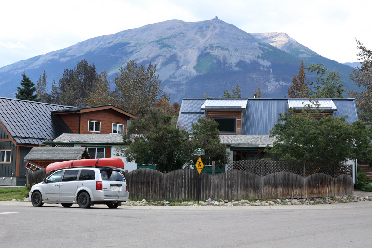
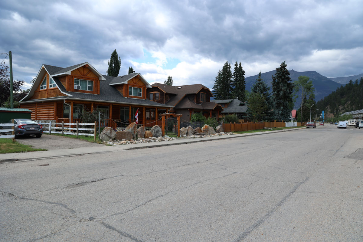
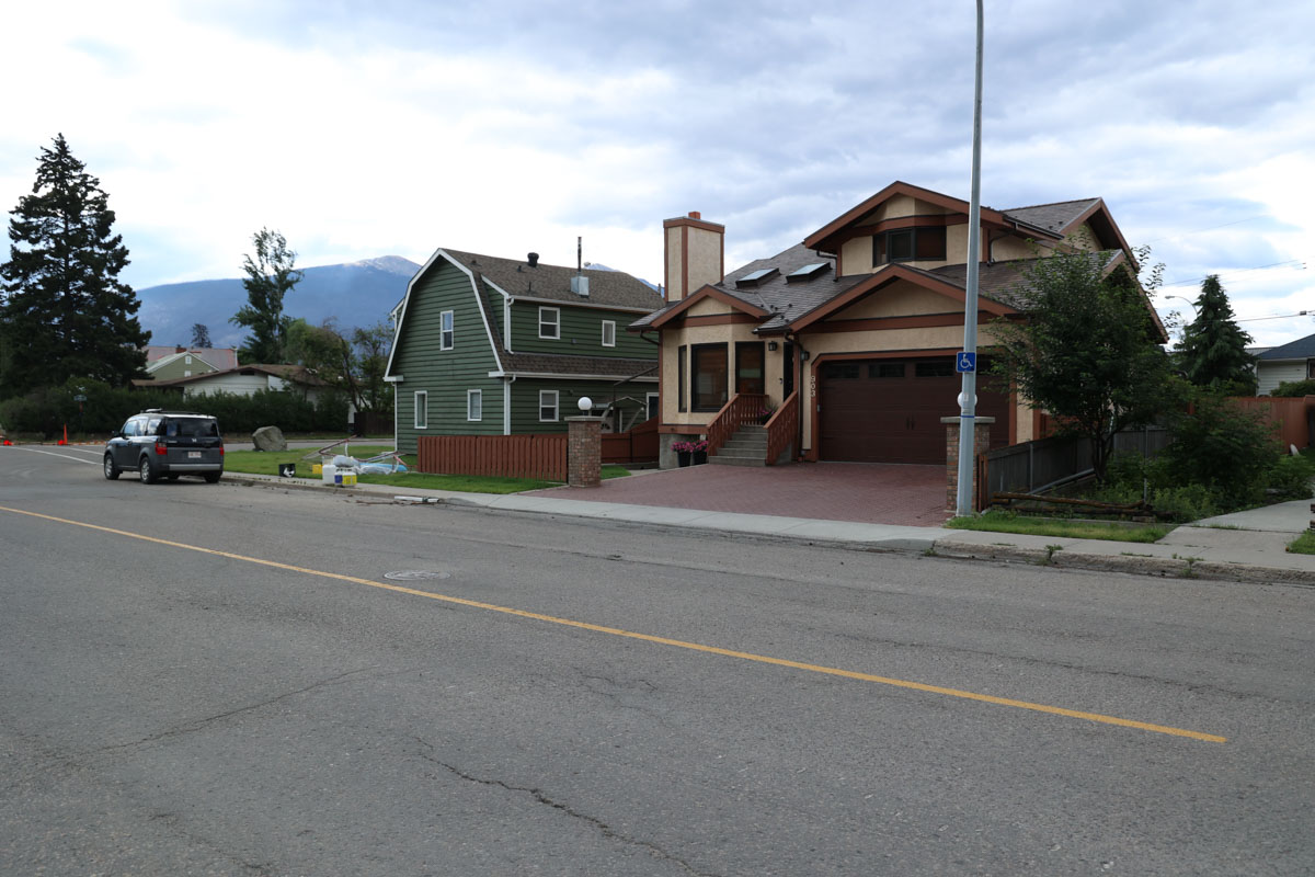
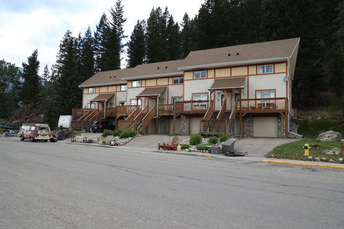
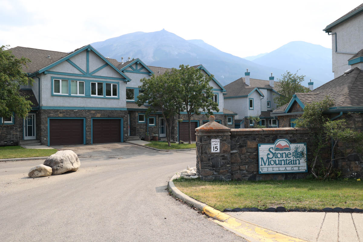
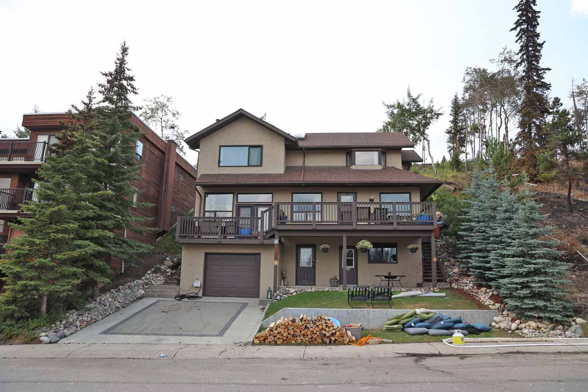
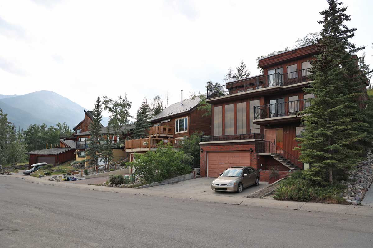
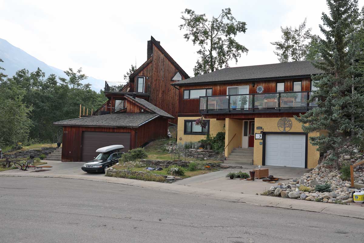
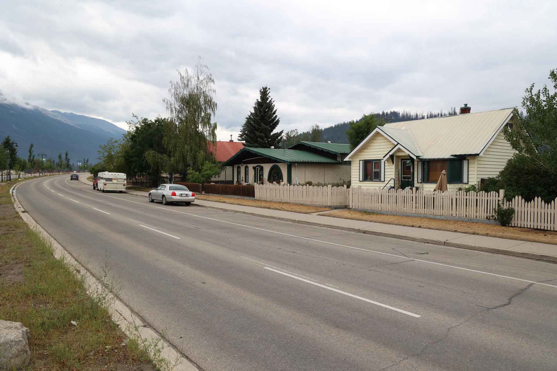
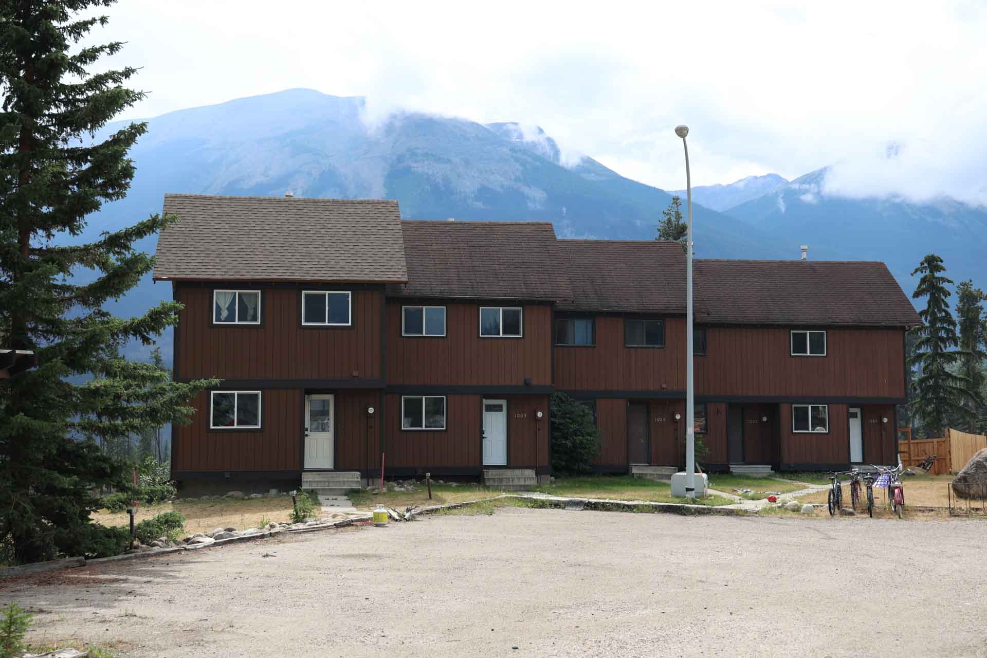
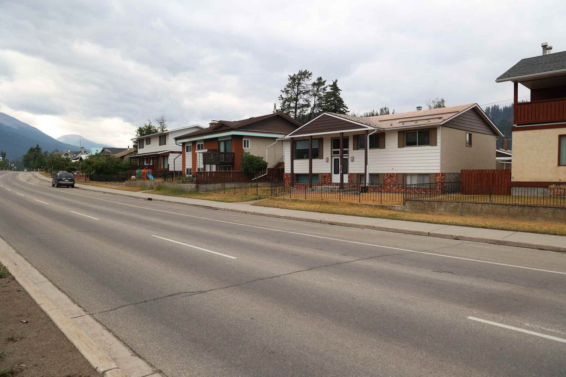
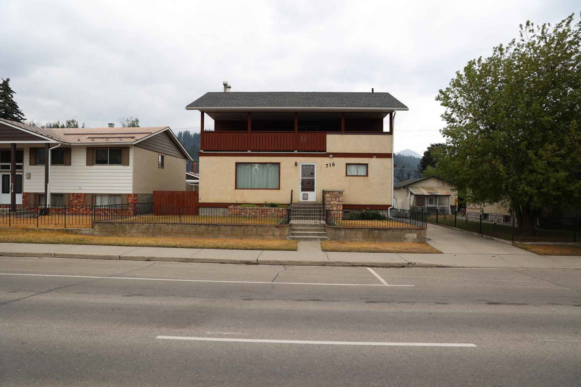
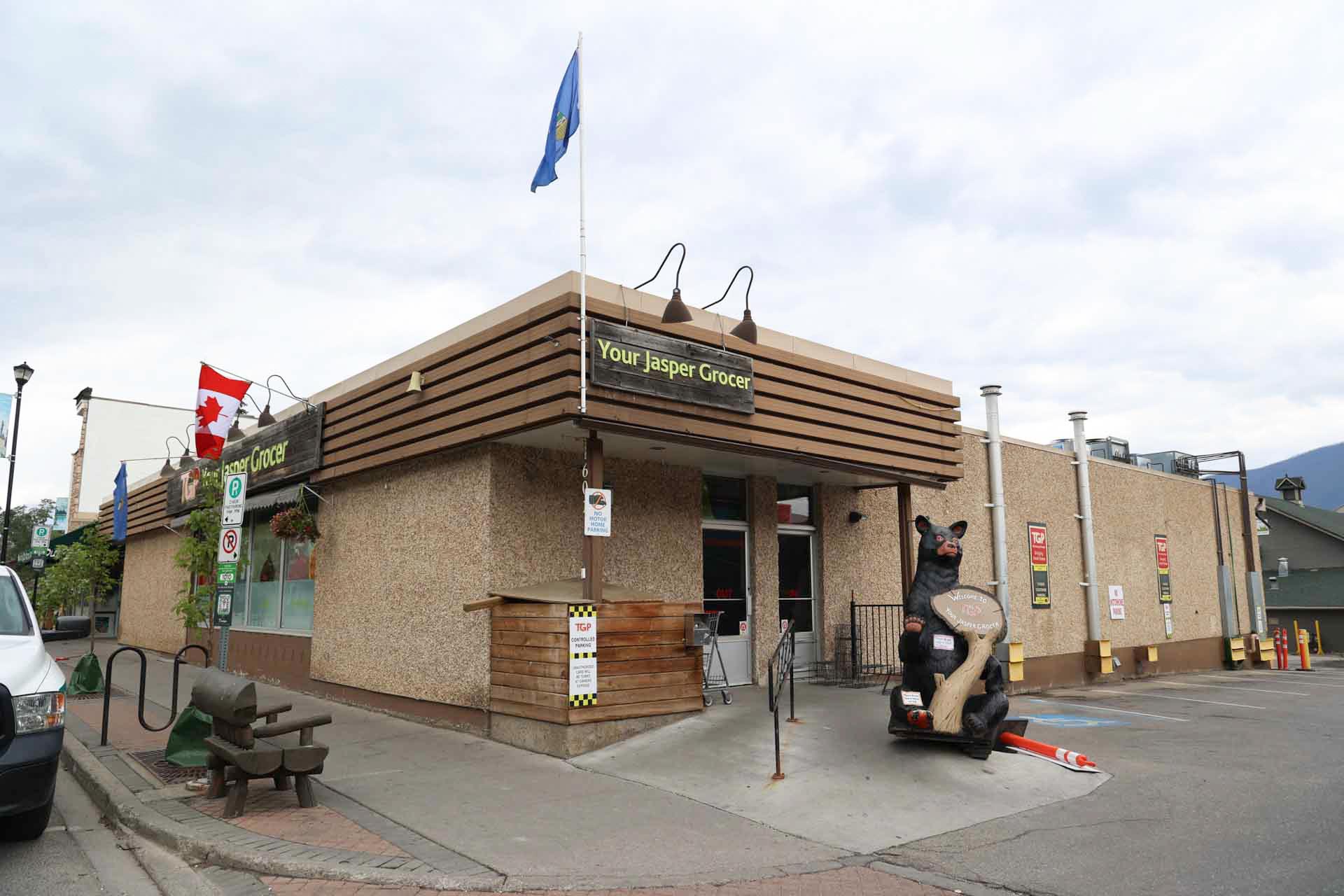
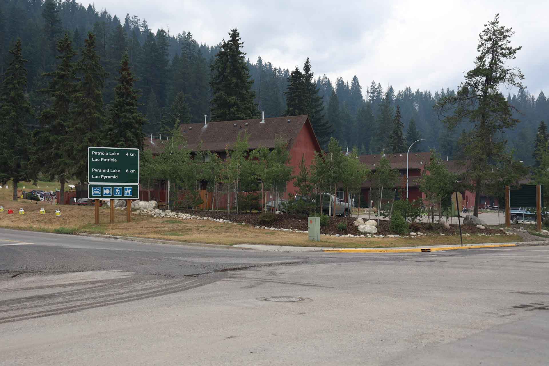
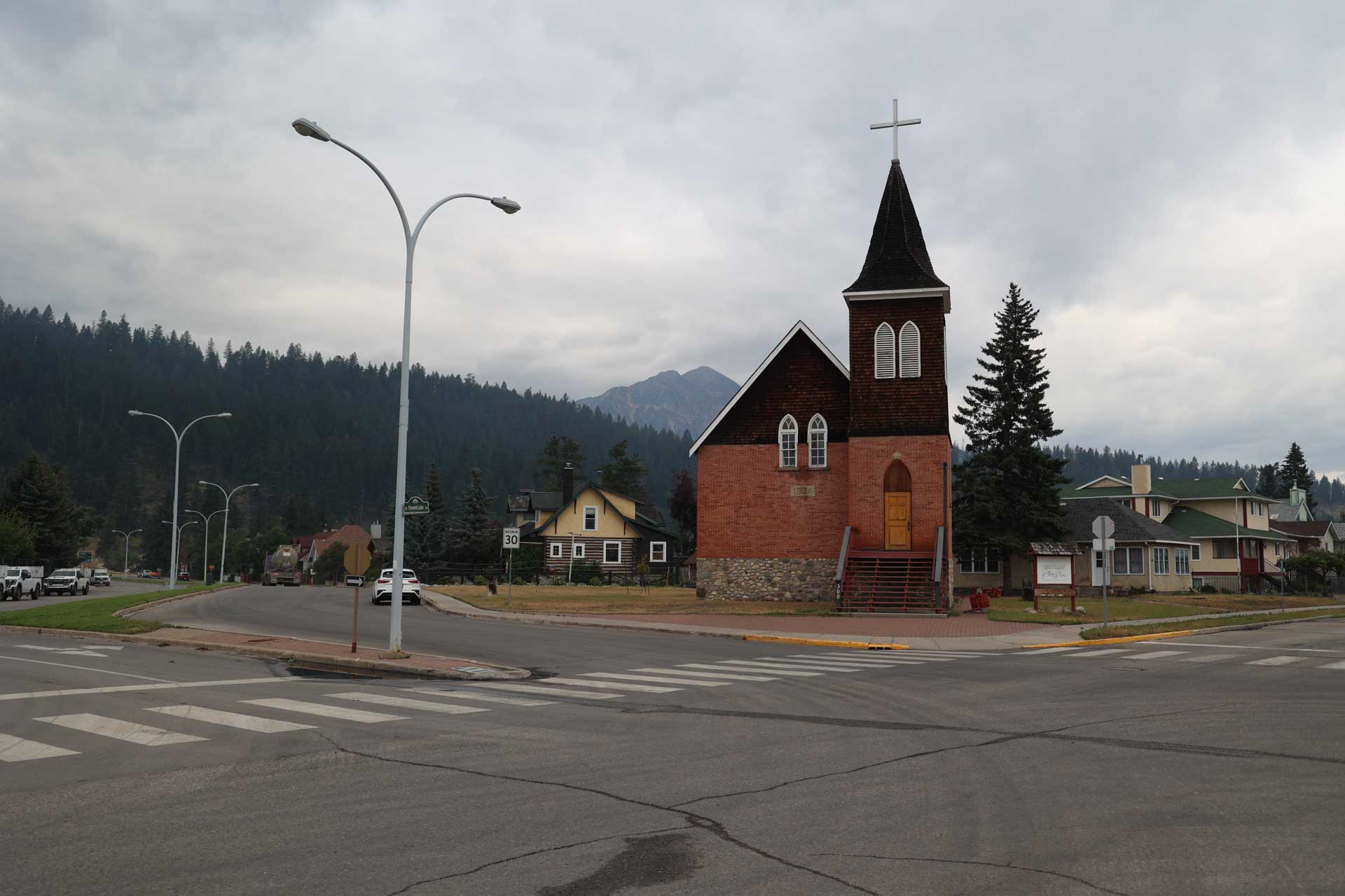
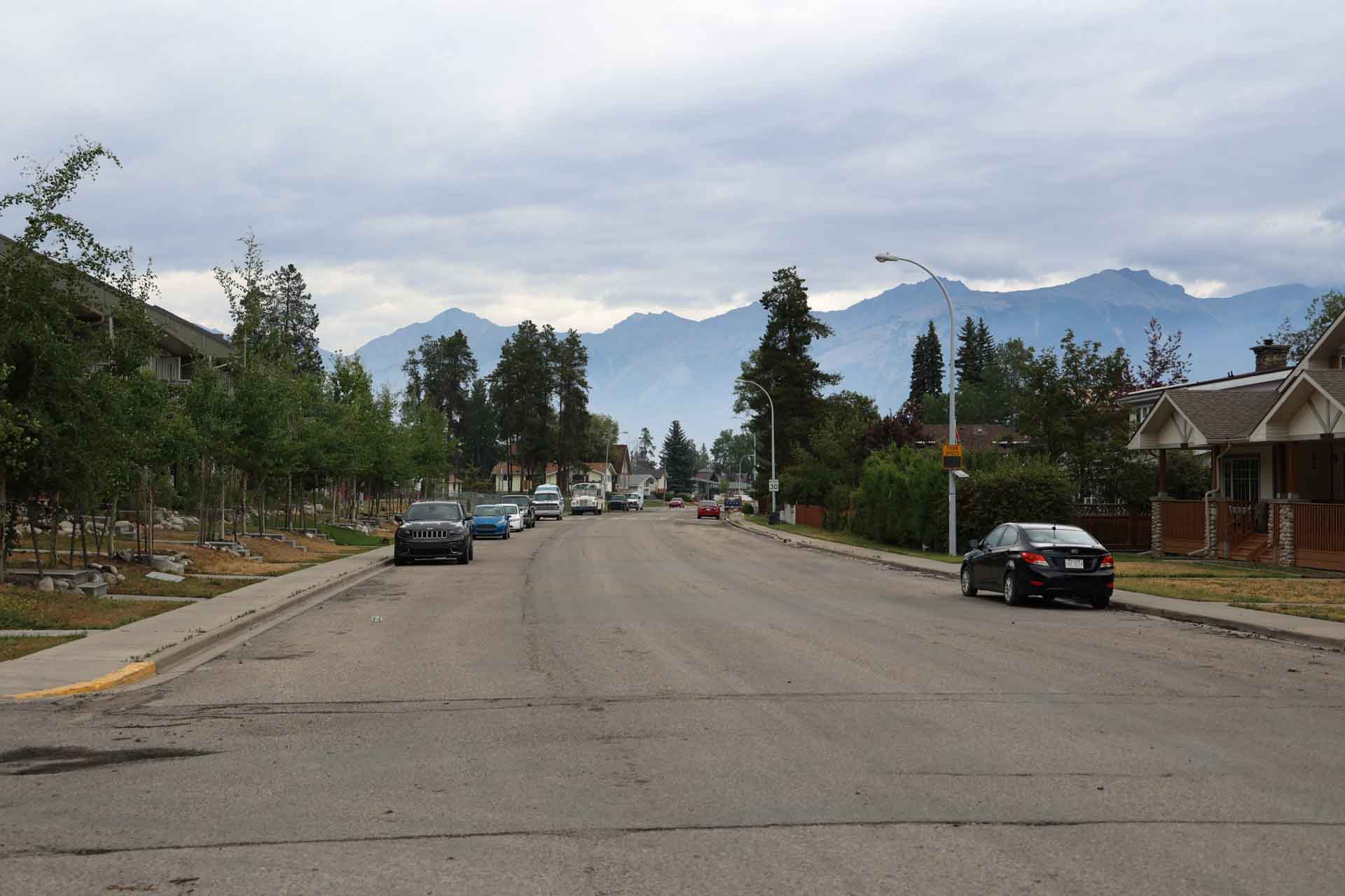
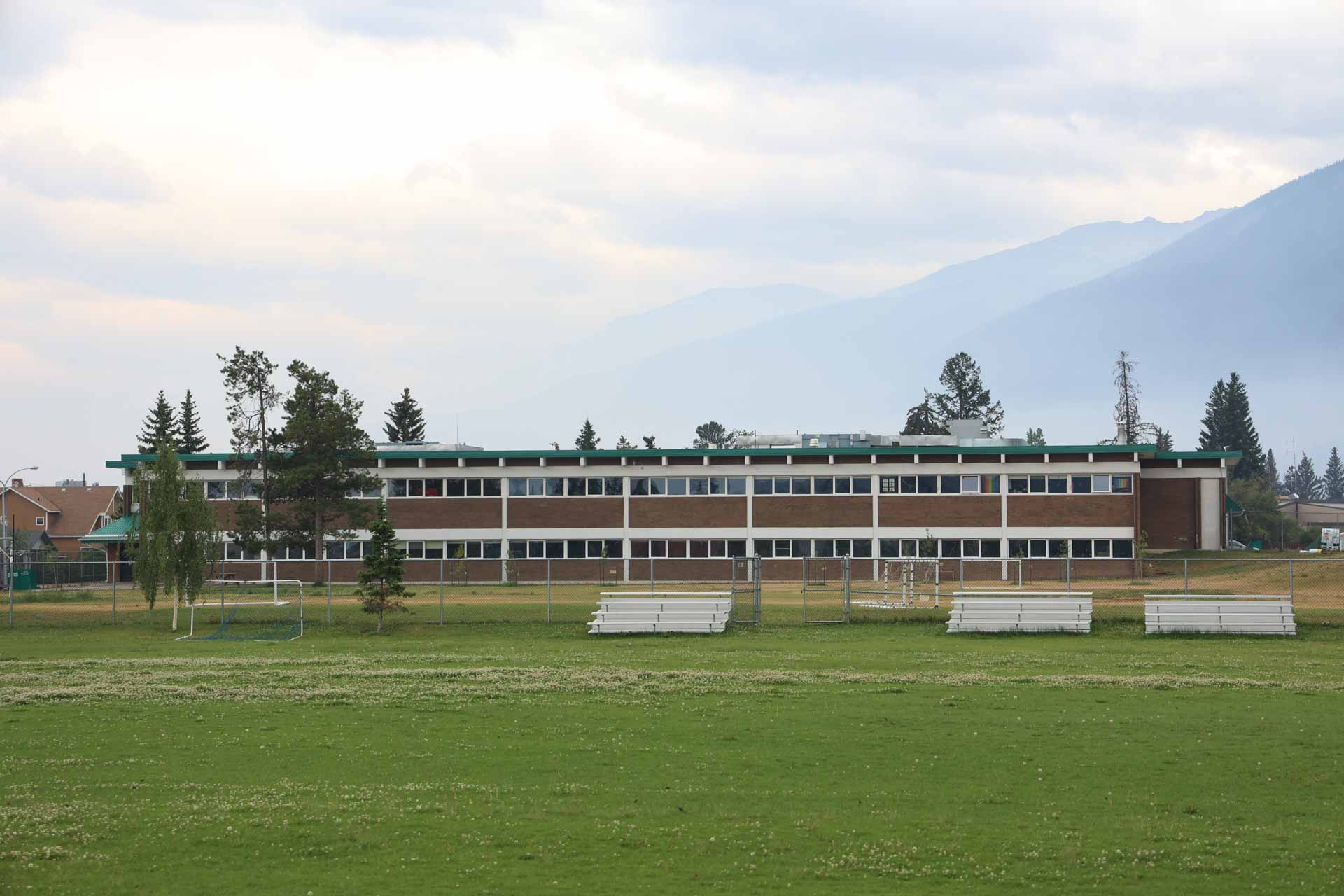
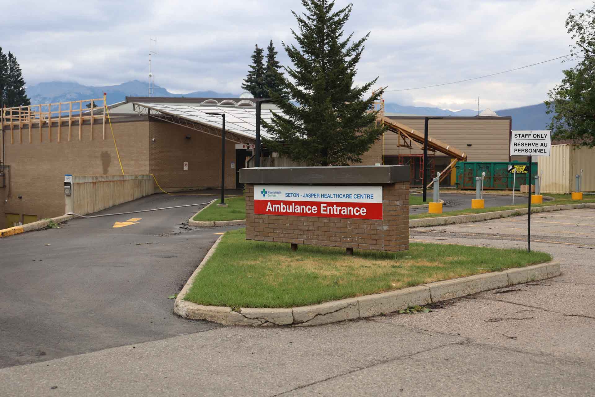
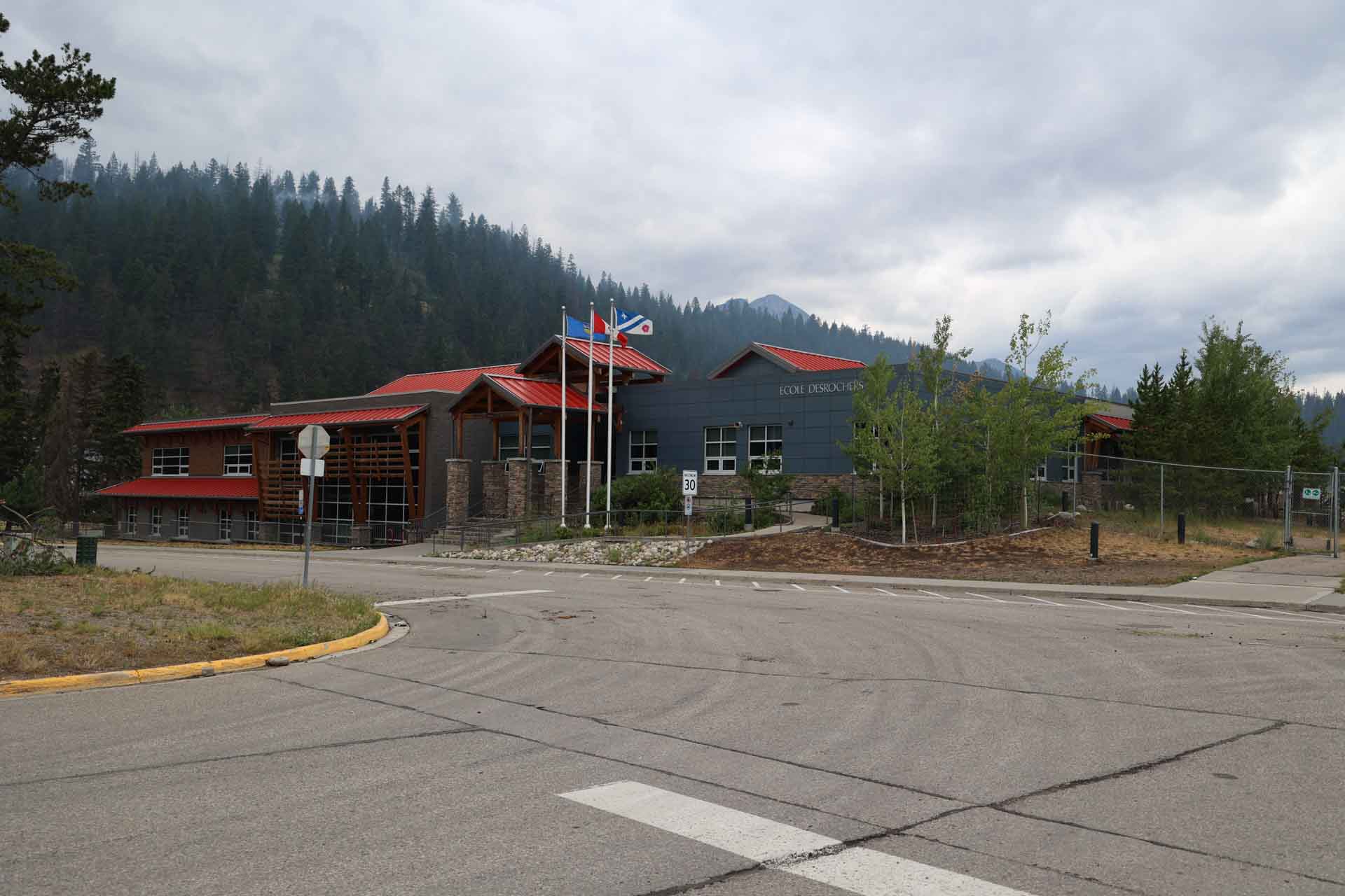
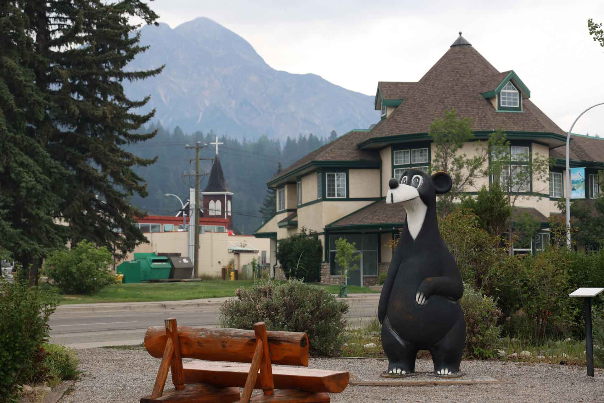
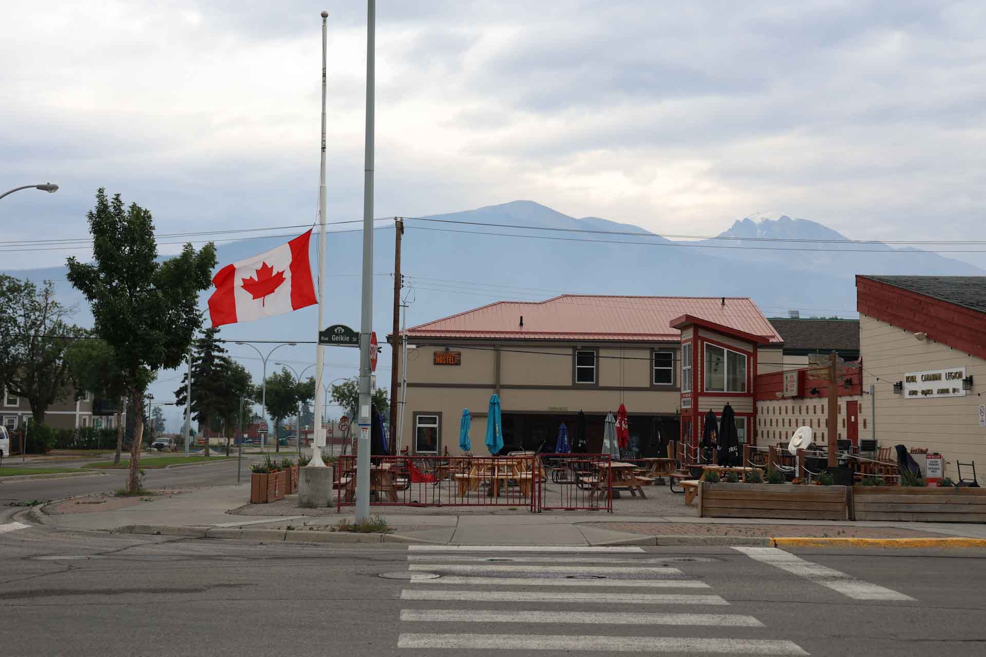
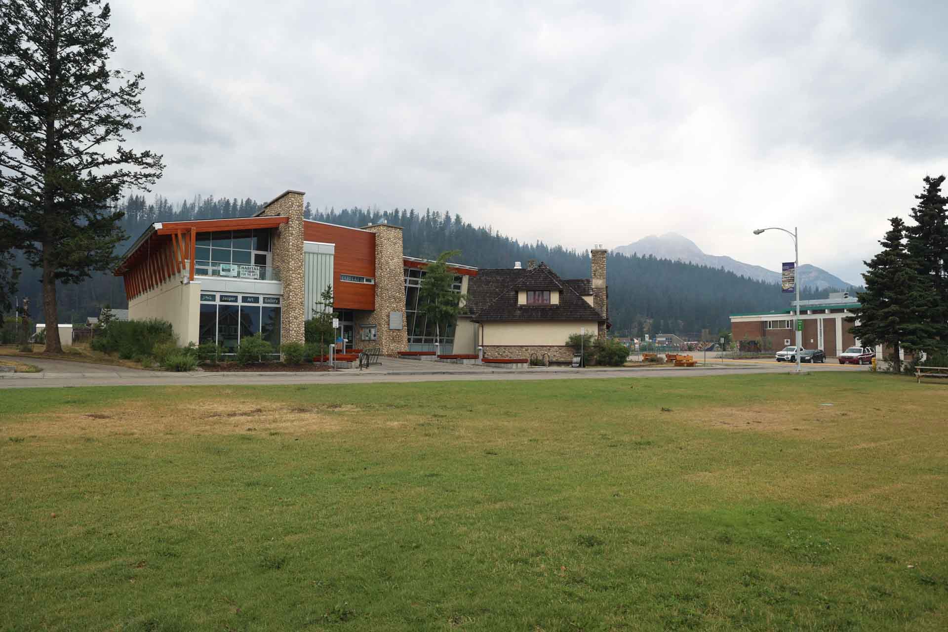
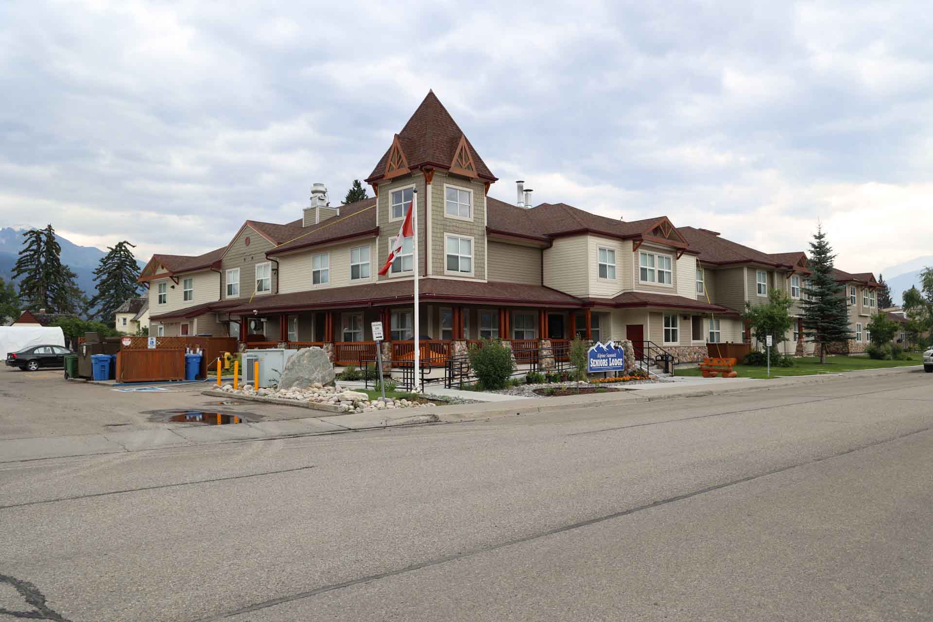
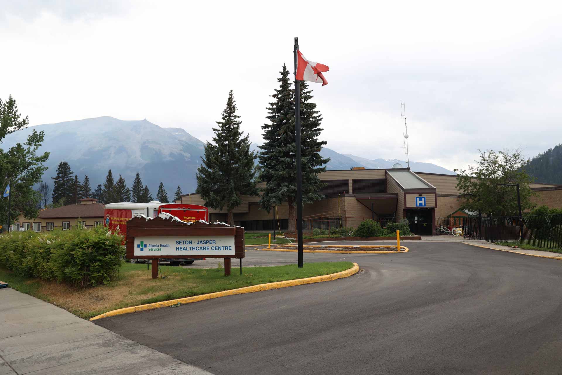
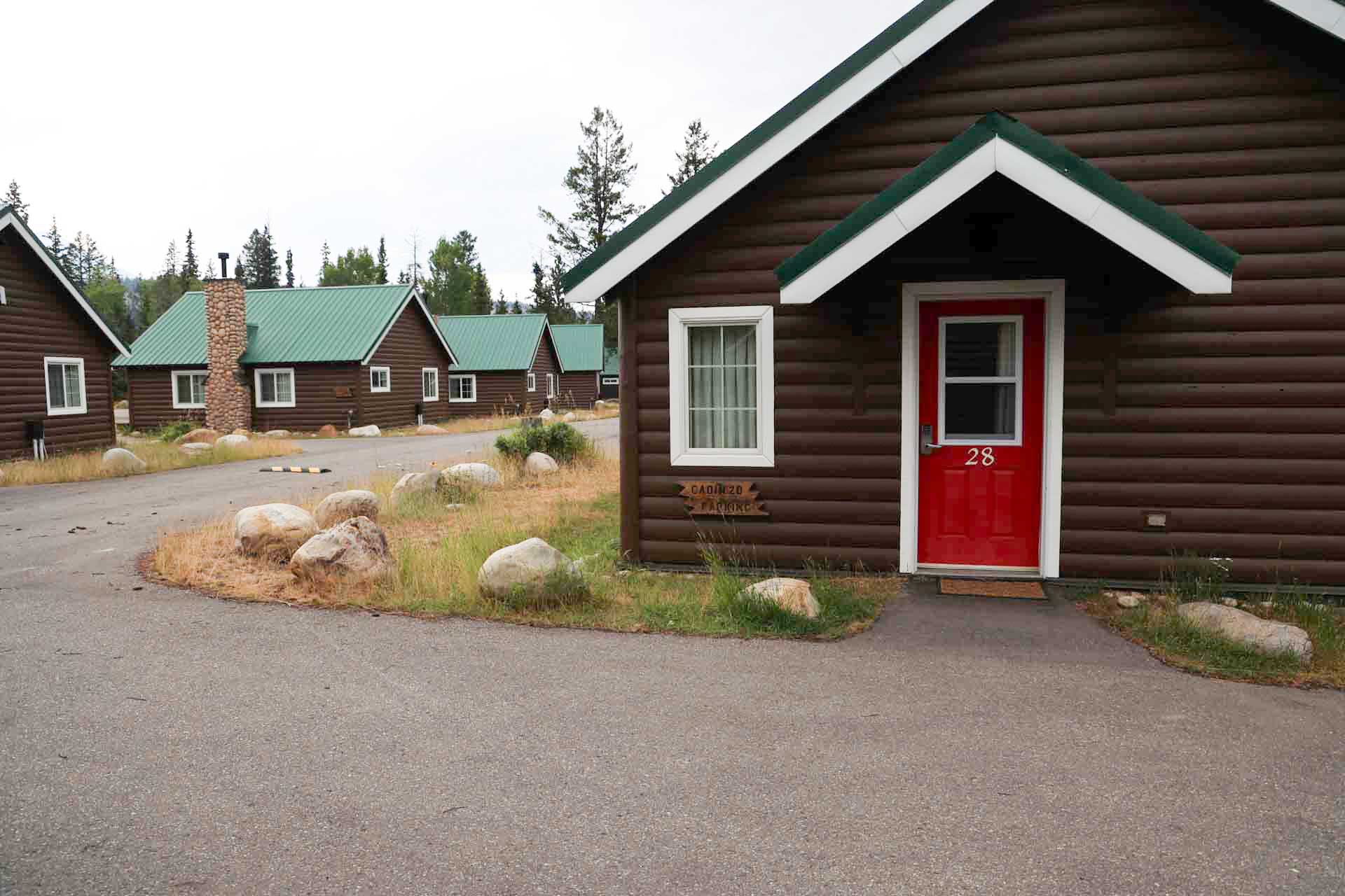
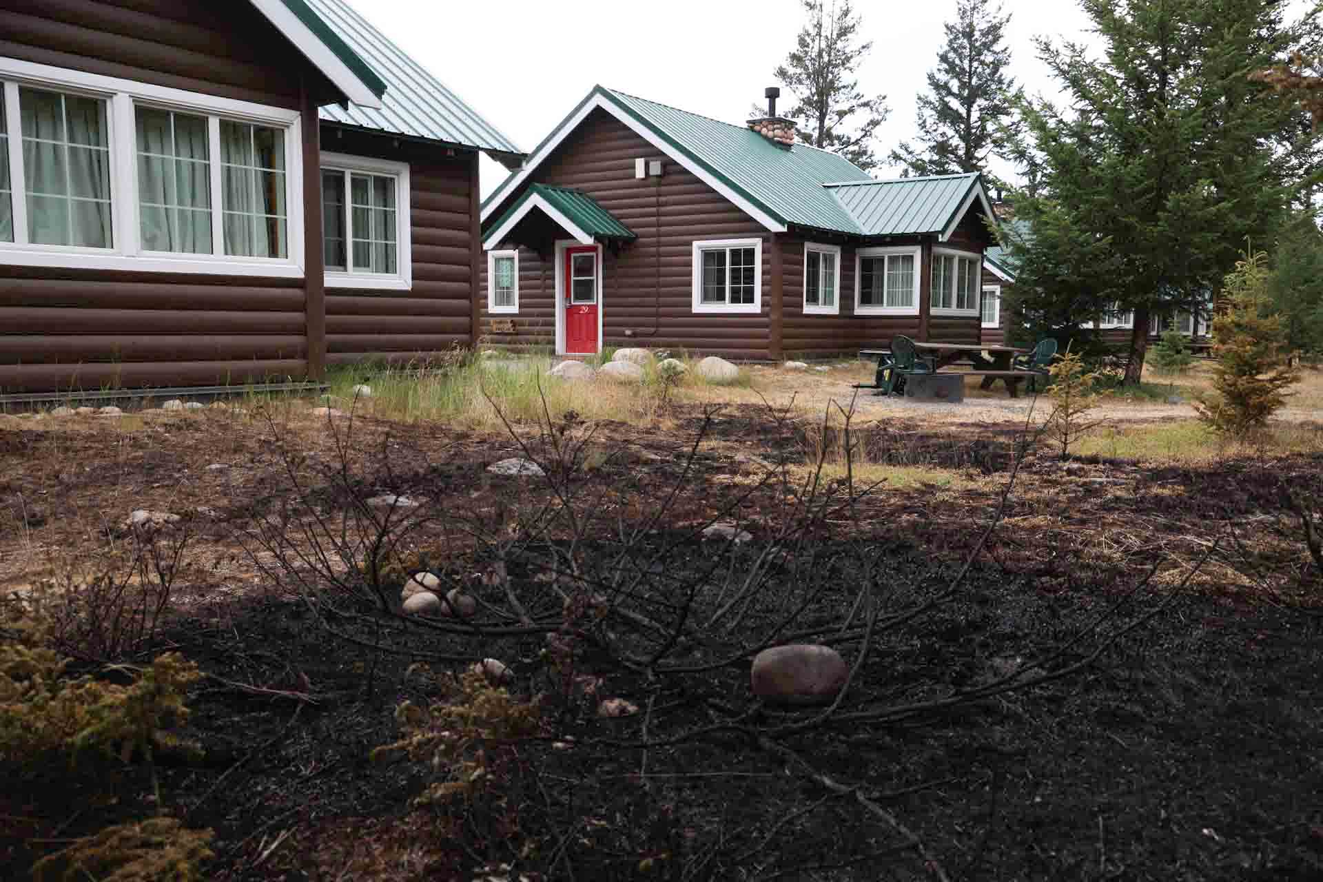
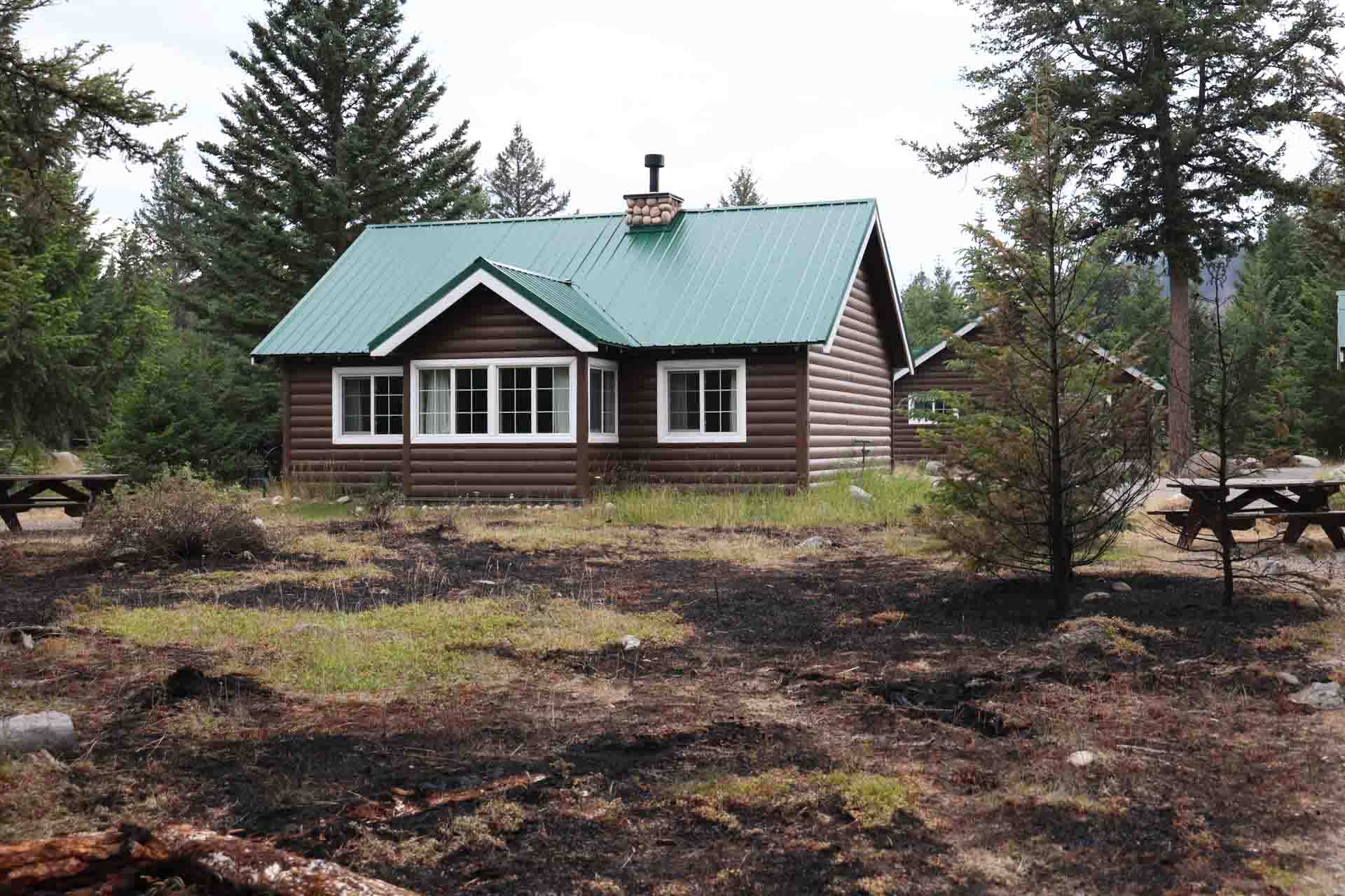
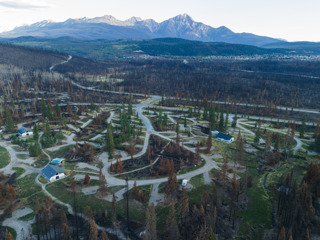
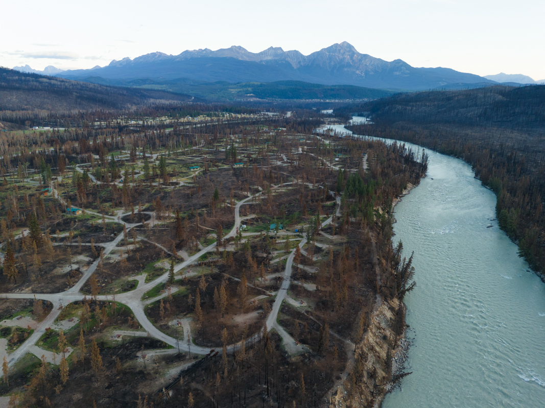
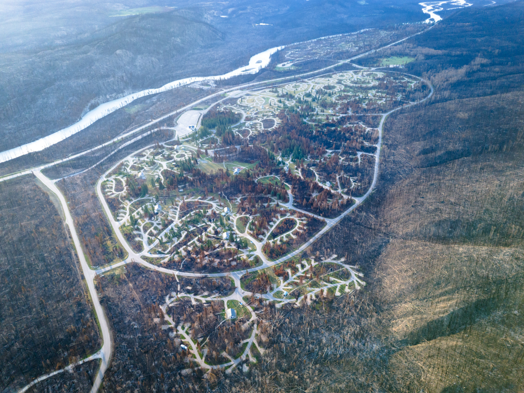
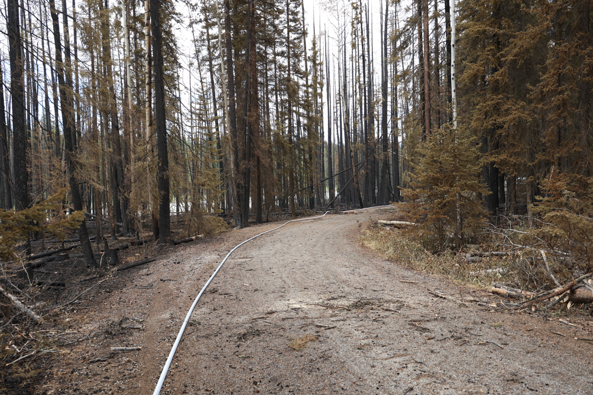
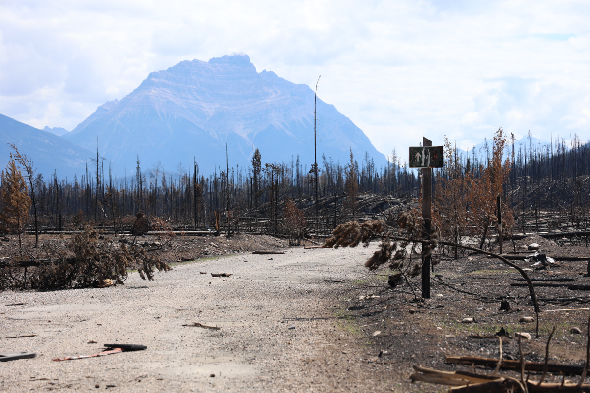
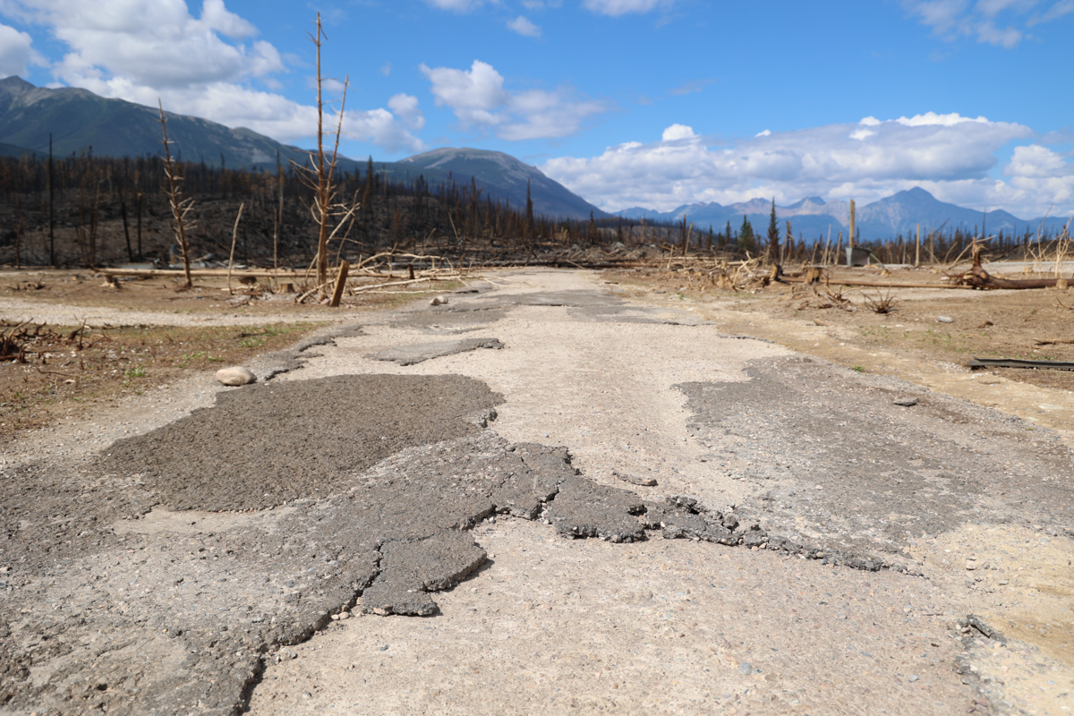
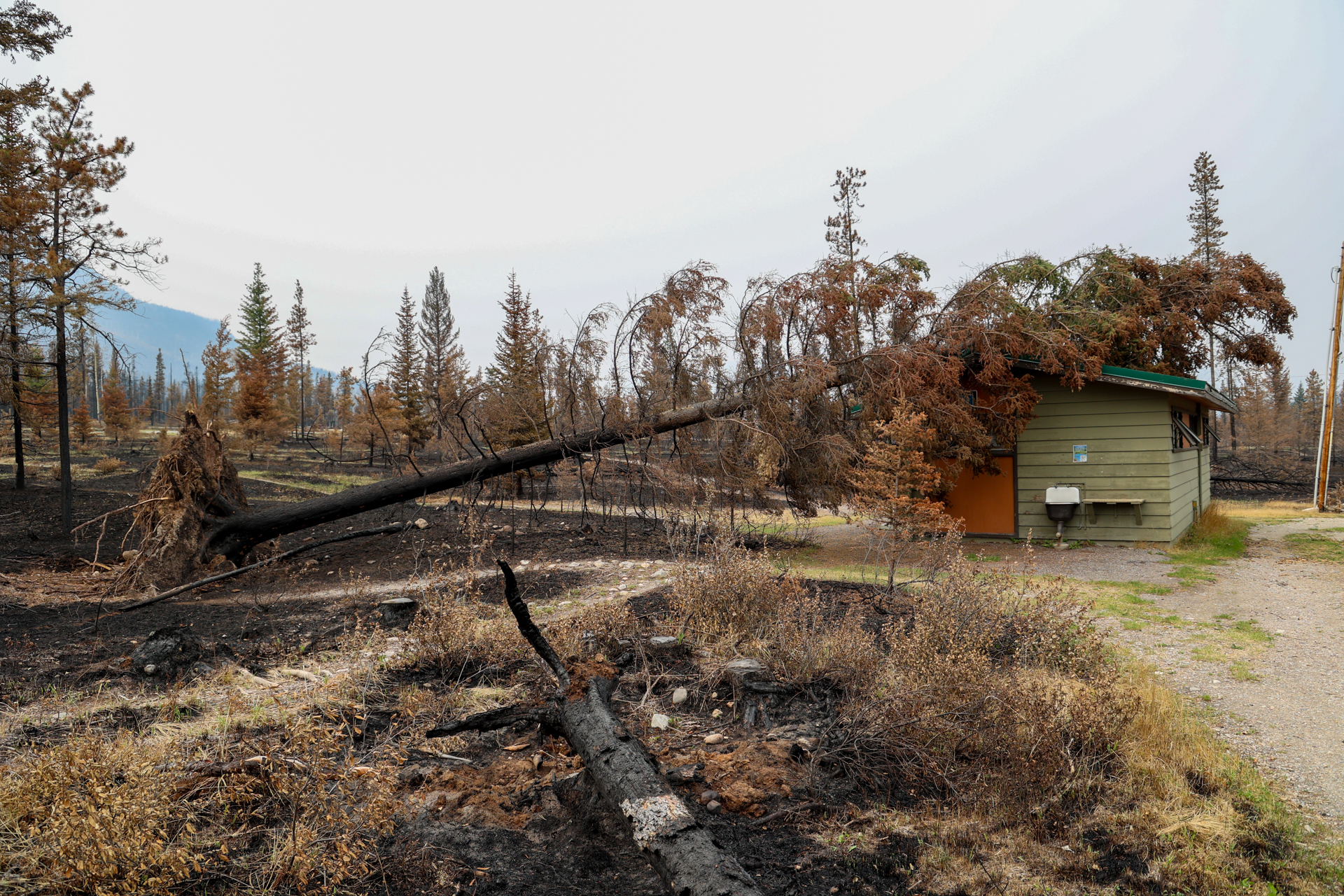
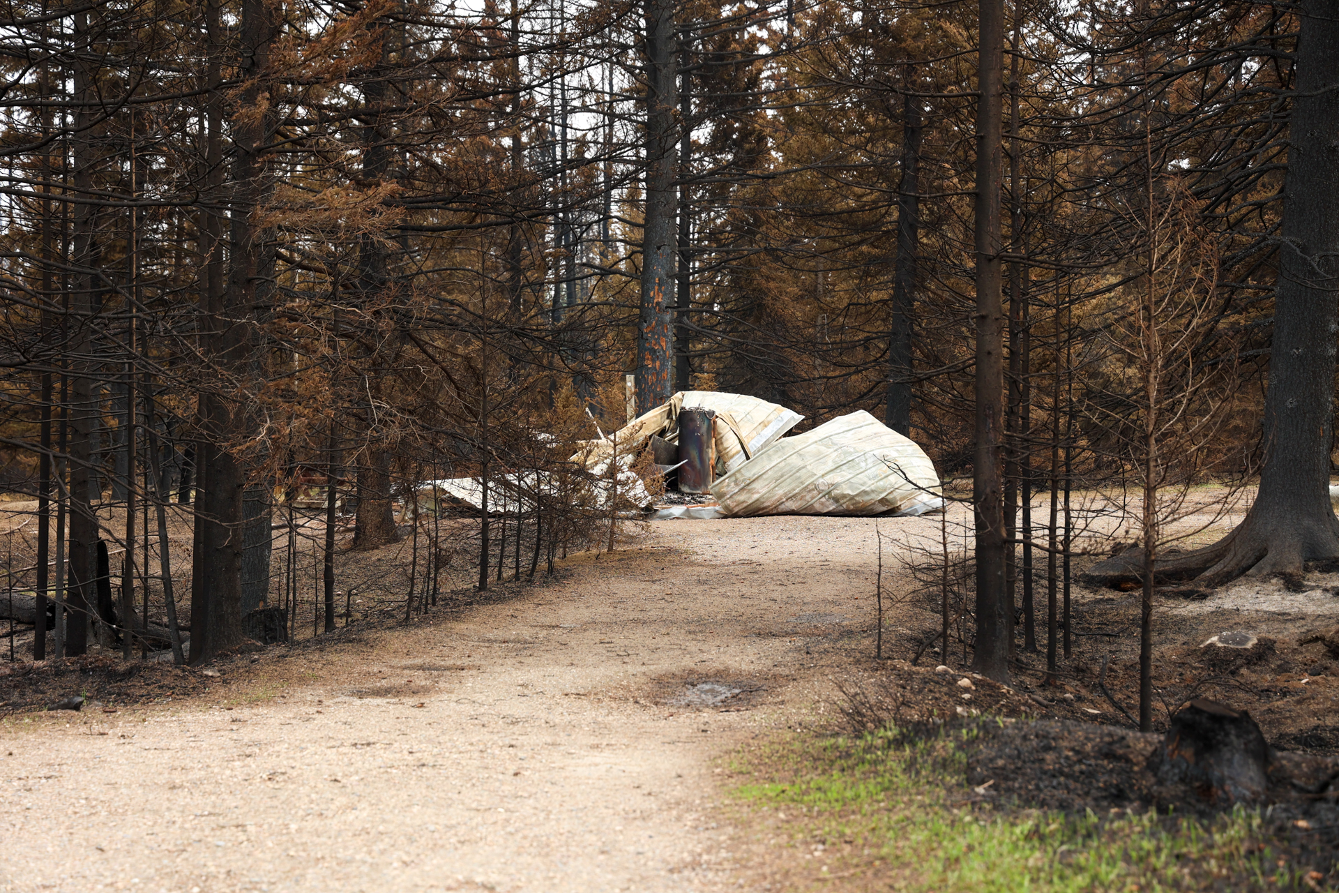
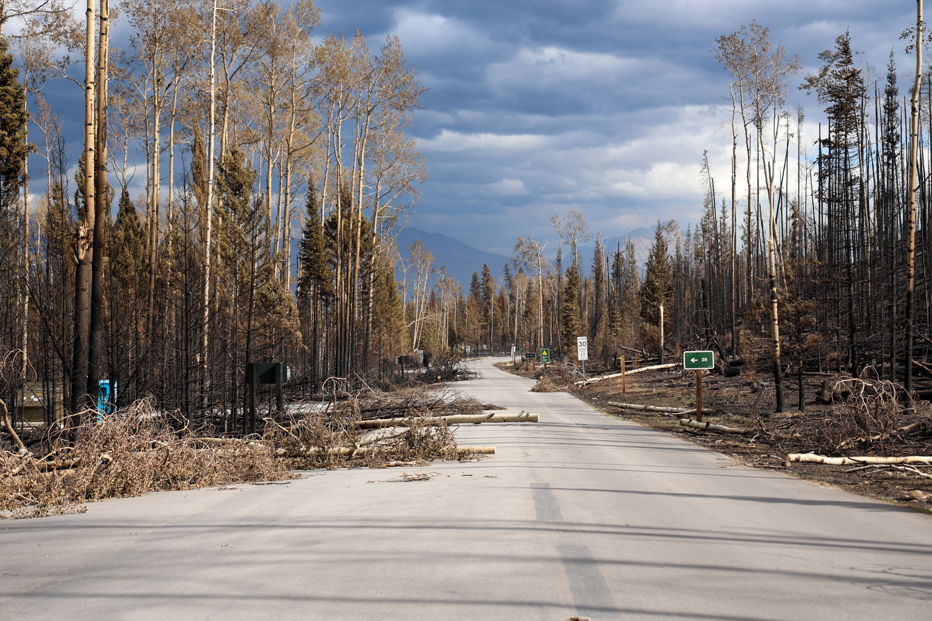
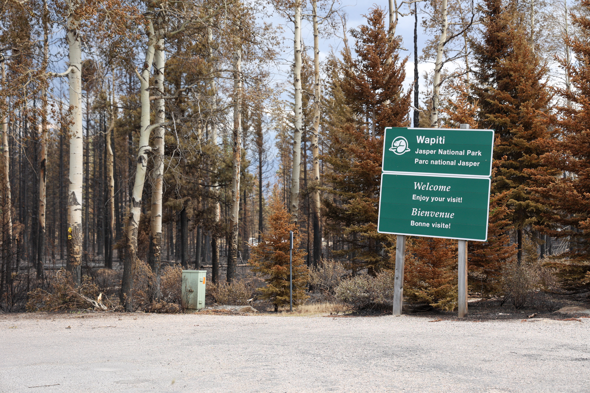
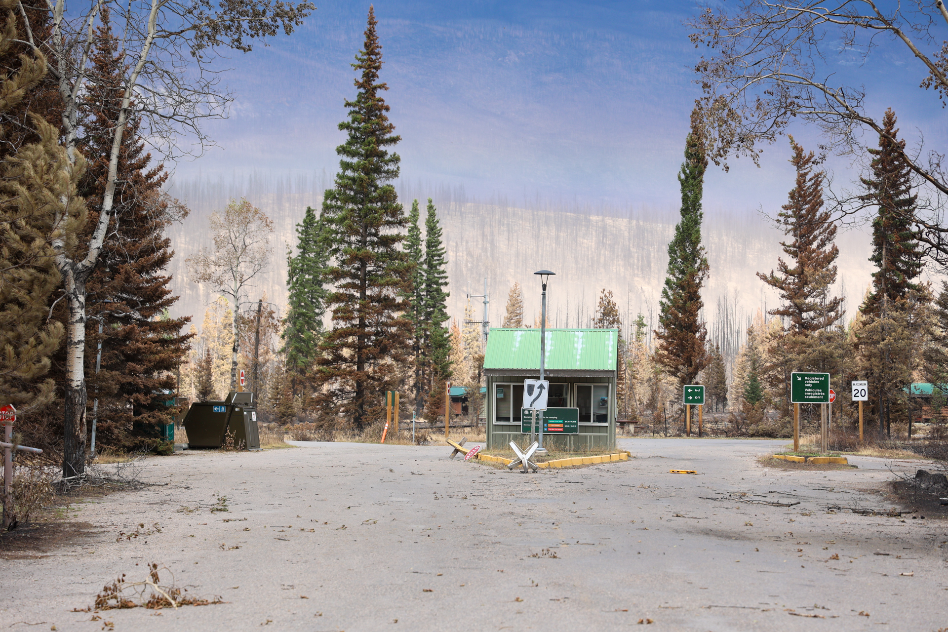
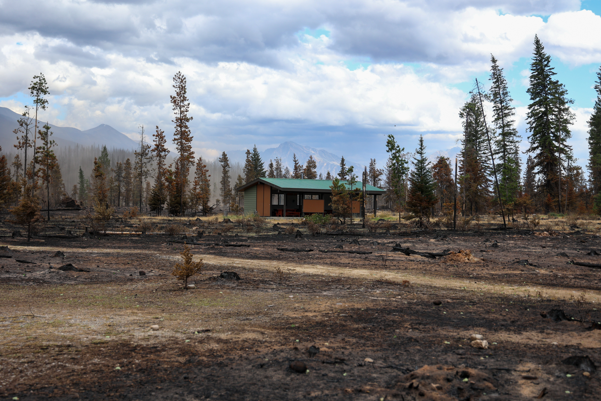
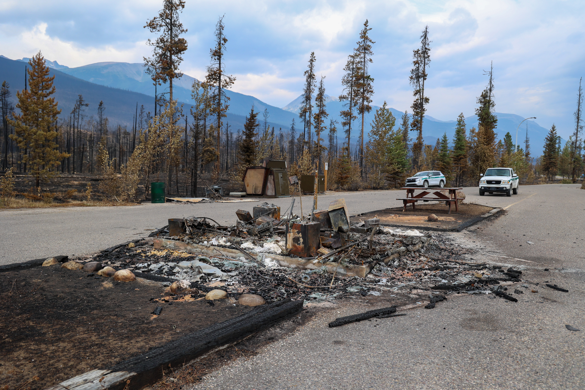
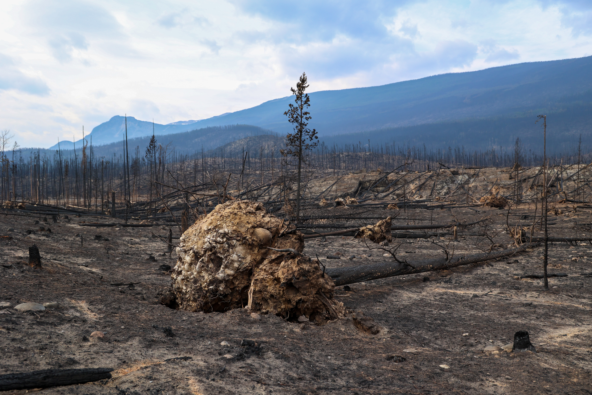
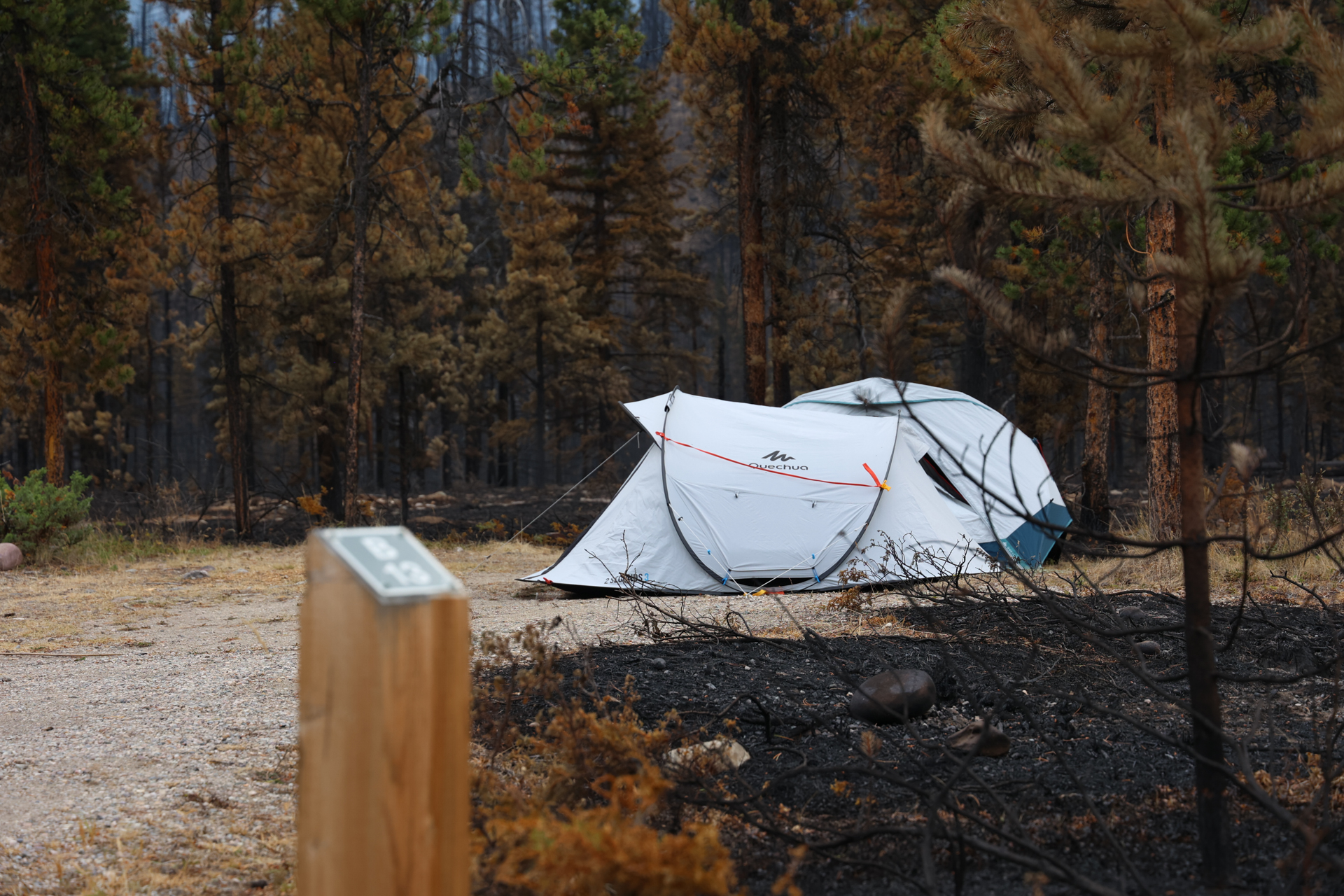
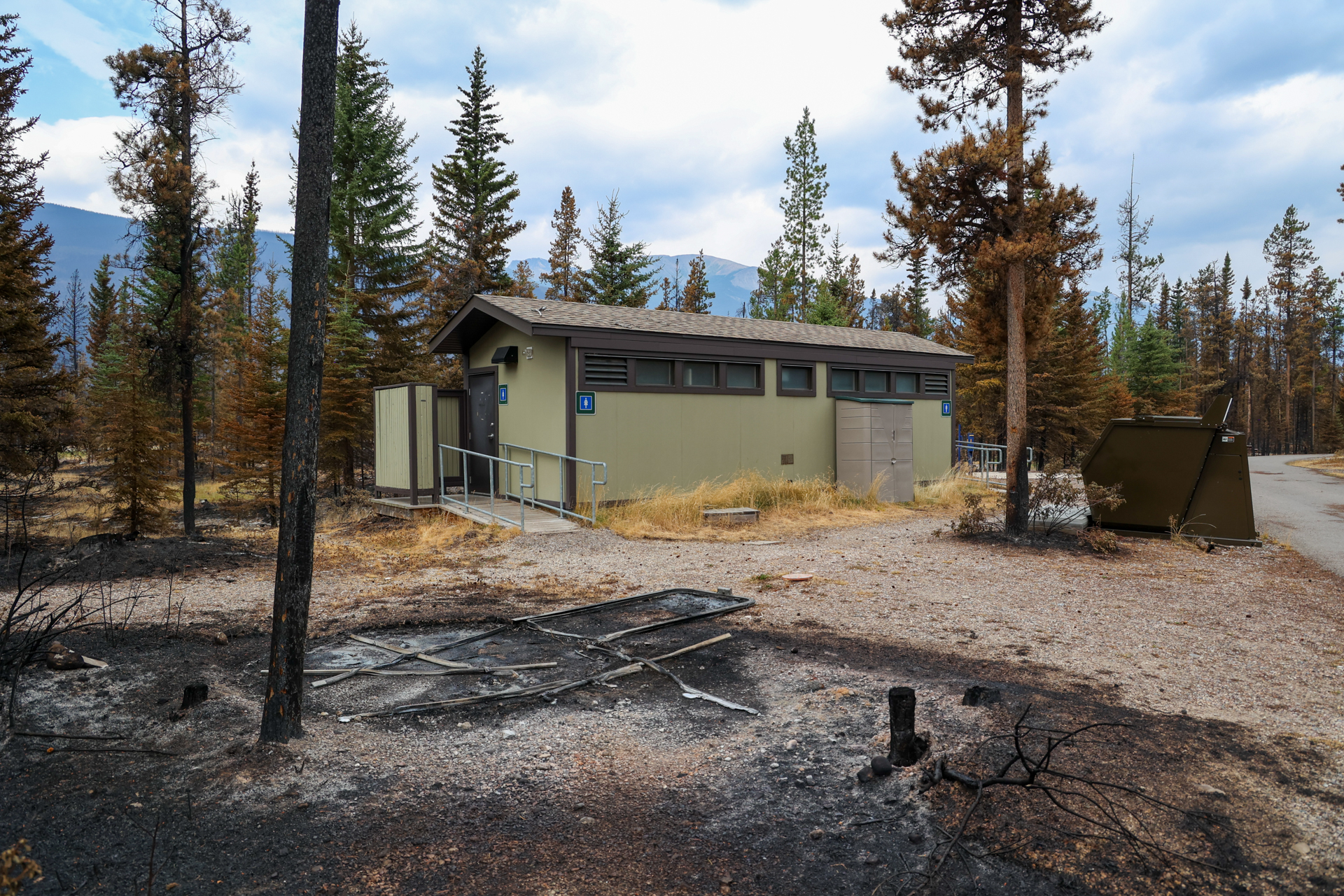
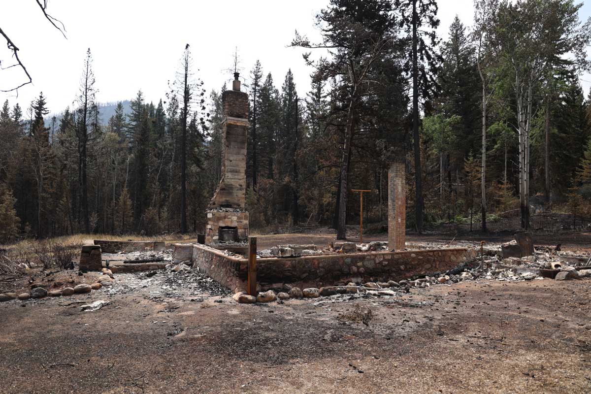
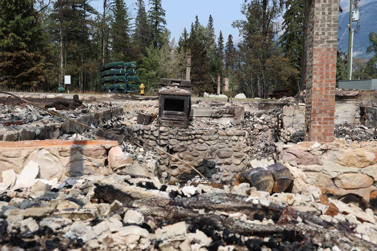
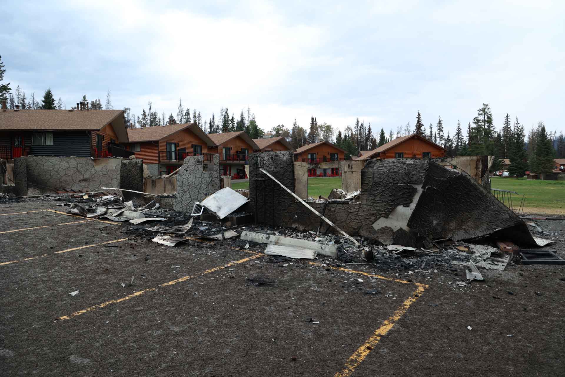
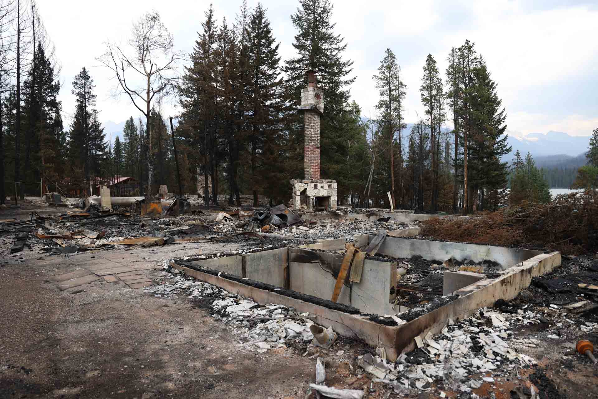
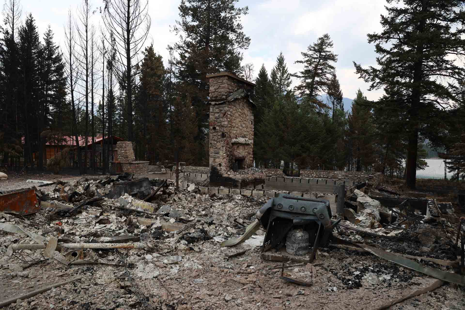
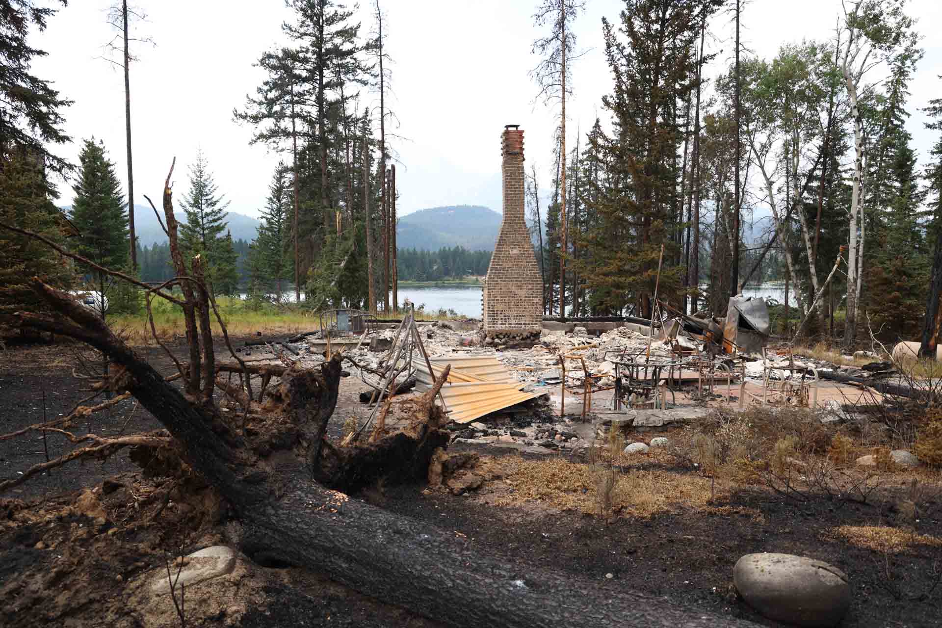
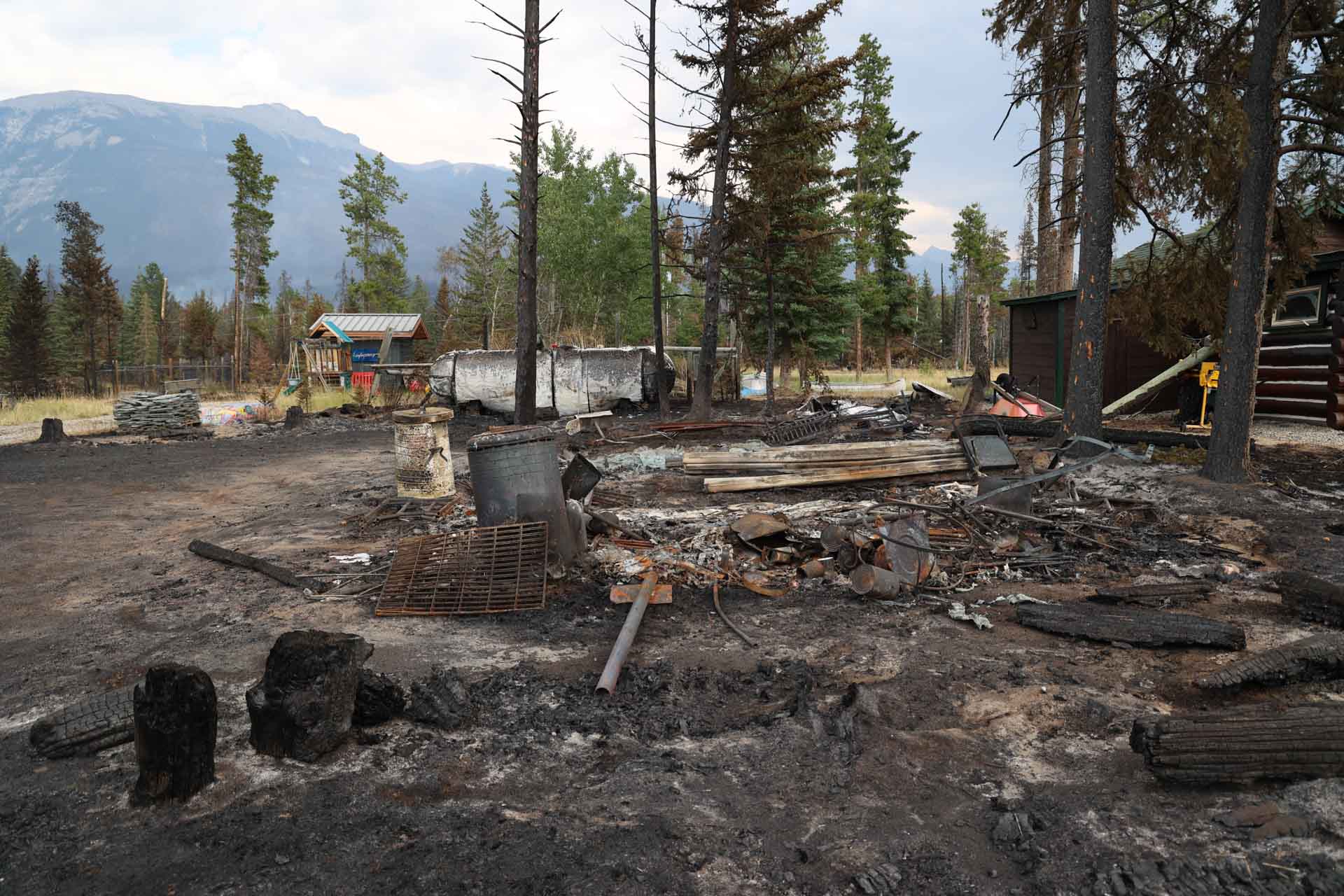
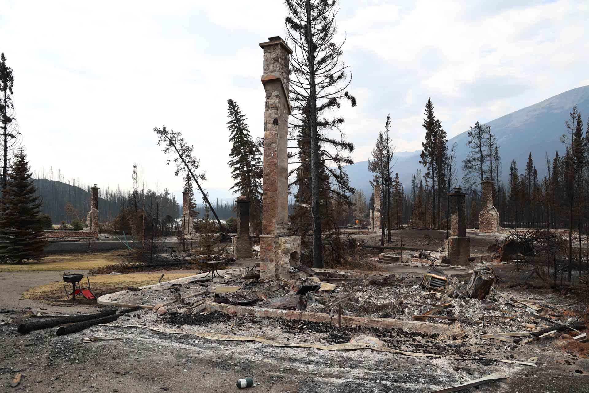
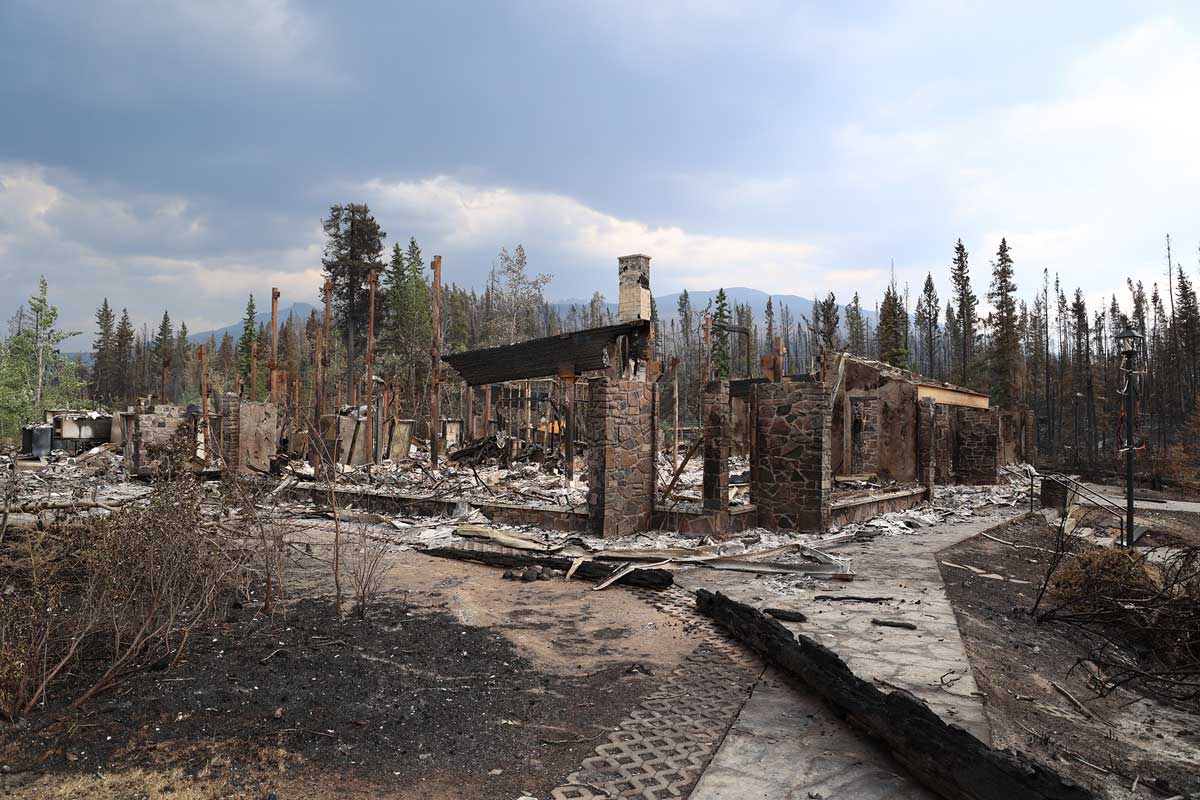
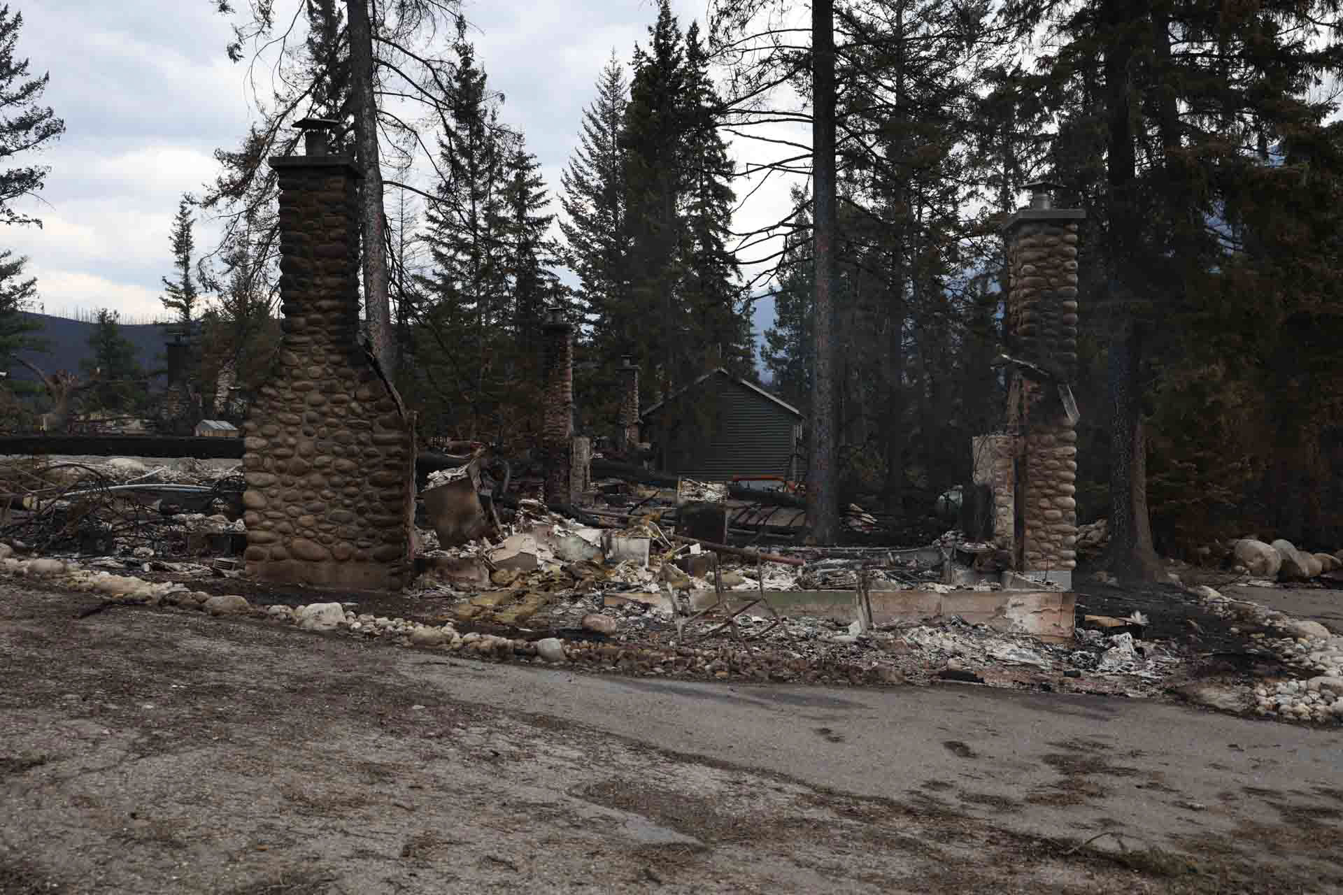
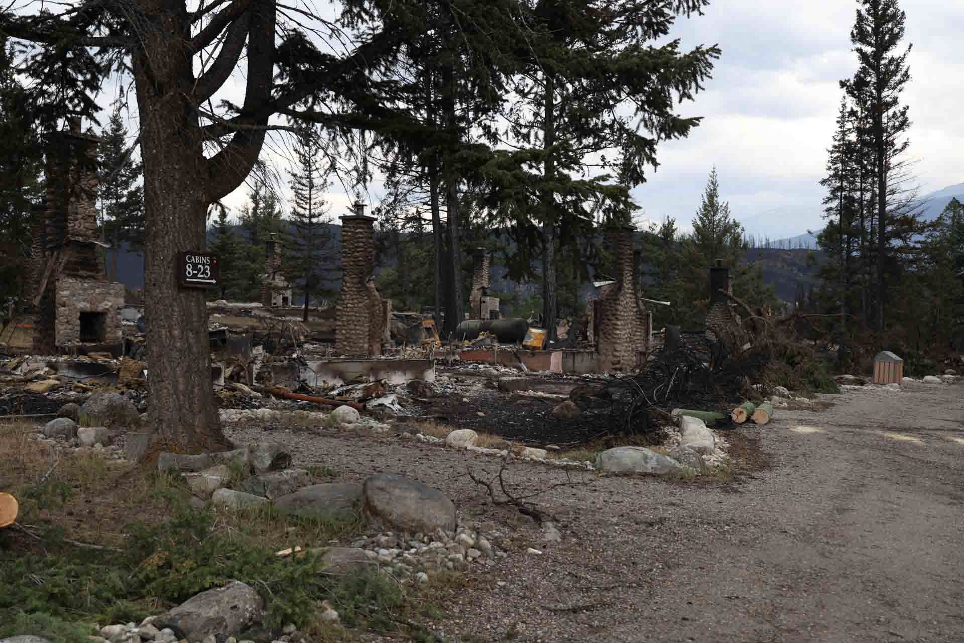
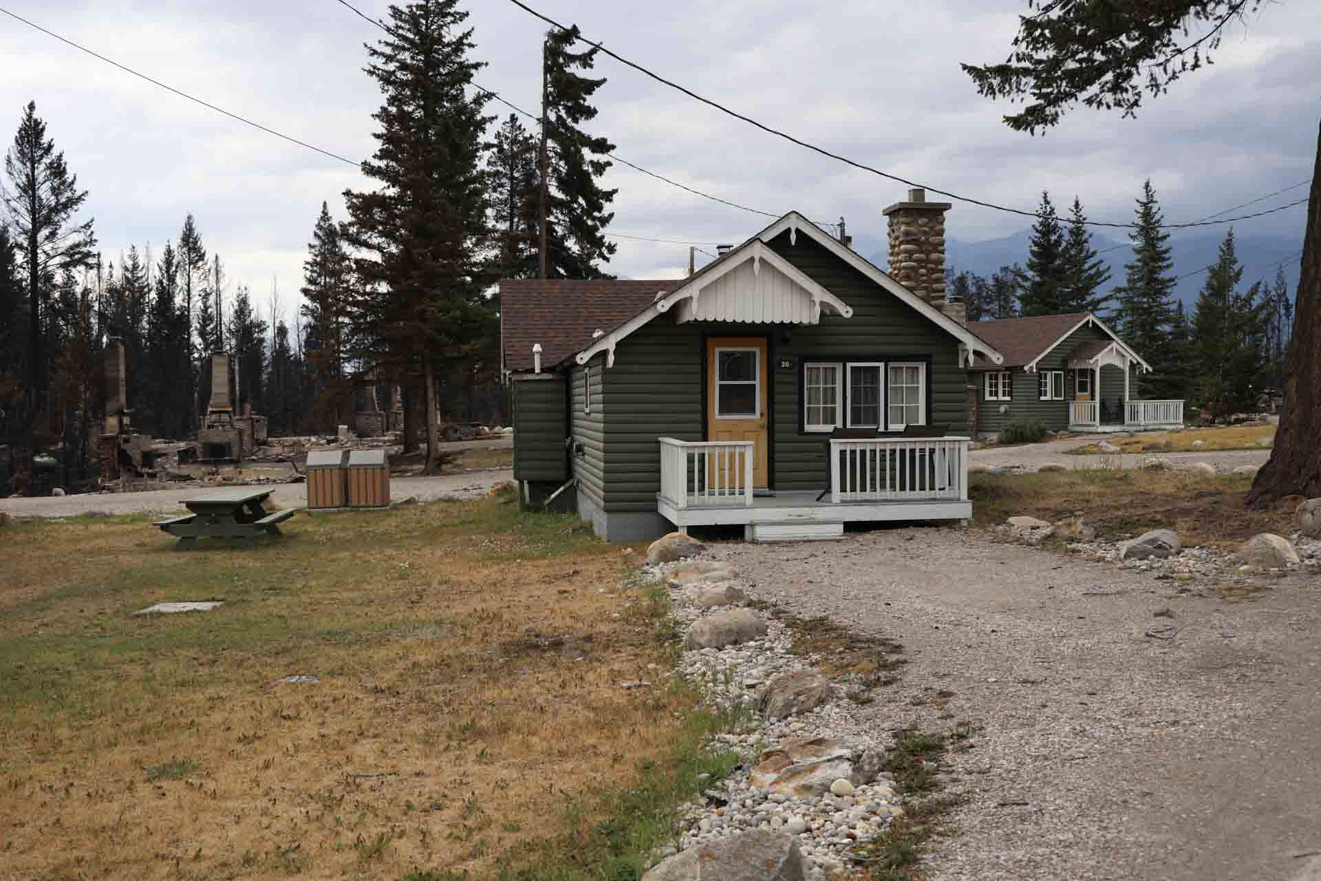
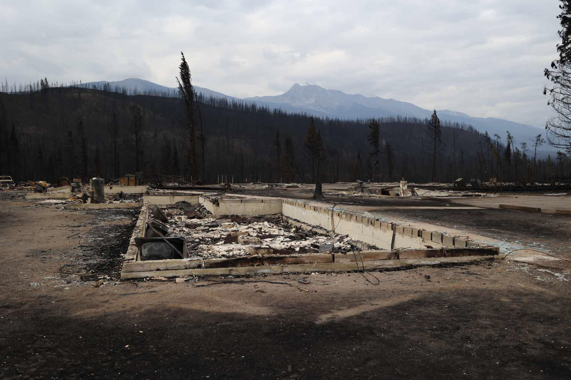
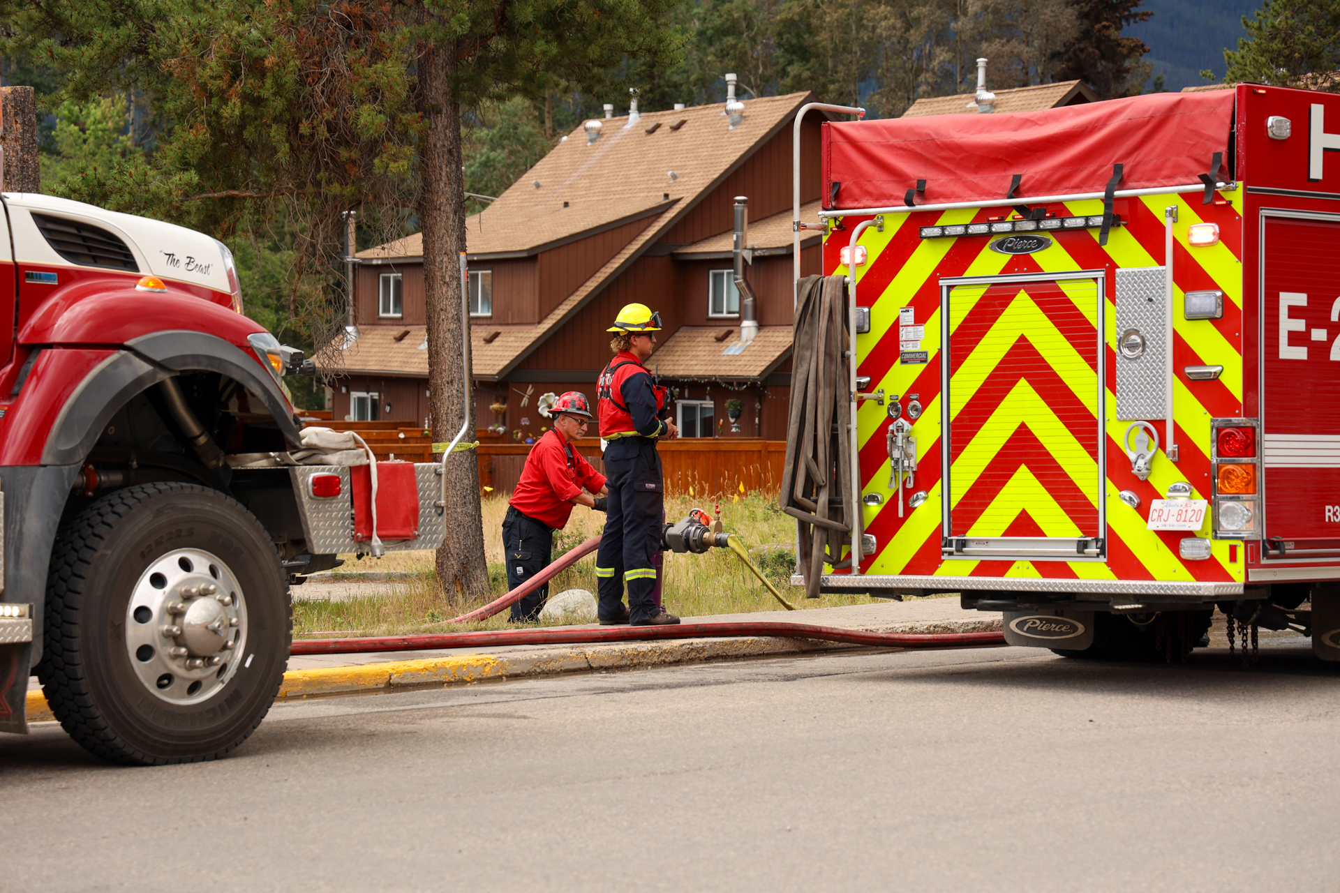
The following photos show homes, businesses, community buildings and Parks Canada infrastructure during the Jasper Wildfire. Some of these locations experienced significant damage.
Images of damage are blurred. You do not need to view these images. If you do wish to view them, please click on the image to remove the blur. Then you can scroll through the images.
This album does not include photos of every home, business or property.
Photographs are captured by a Parks Canada photographer who is trained and equipped to be on scene during a wildfire.
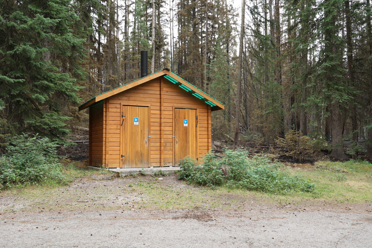
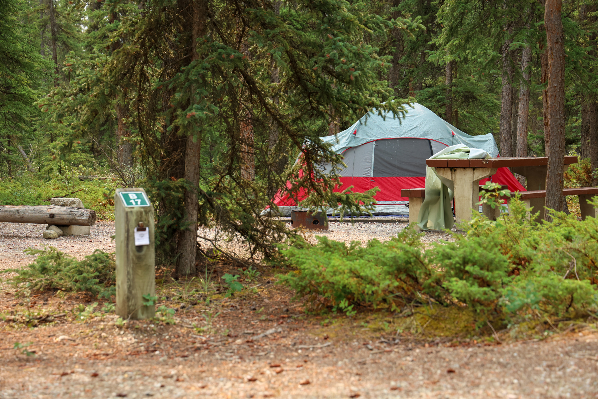
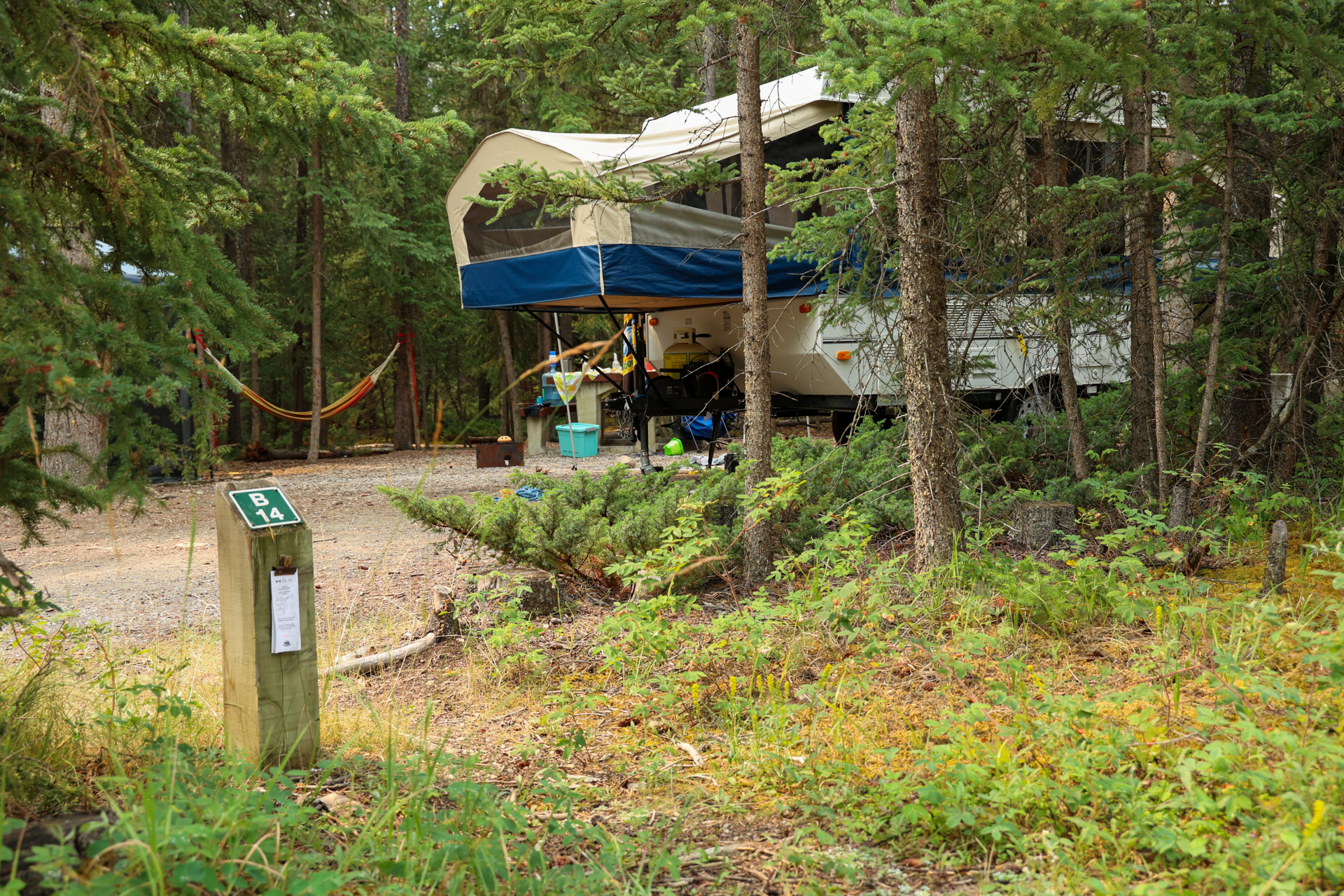
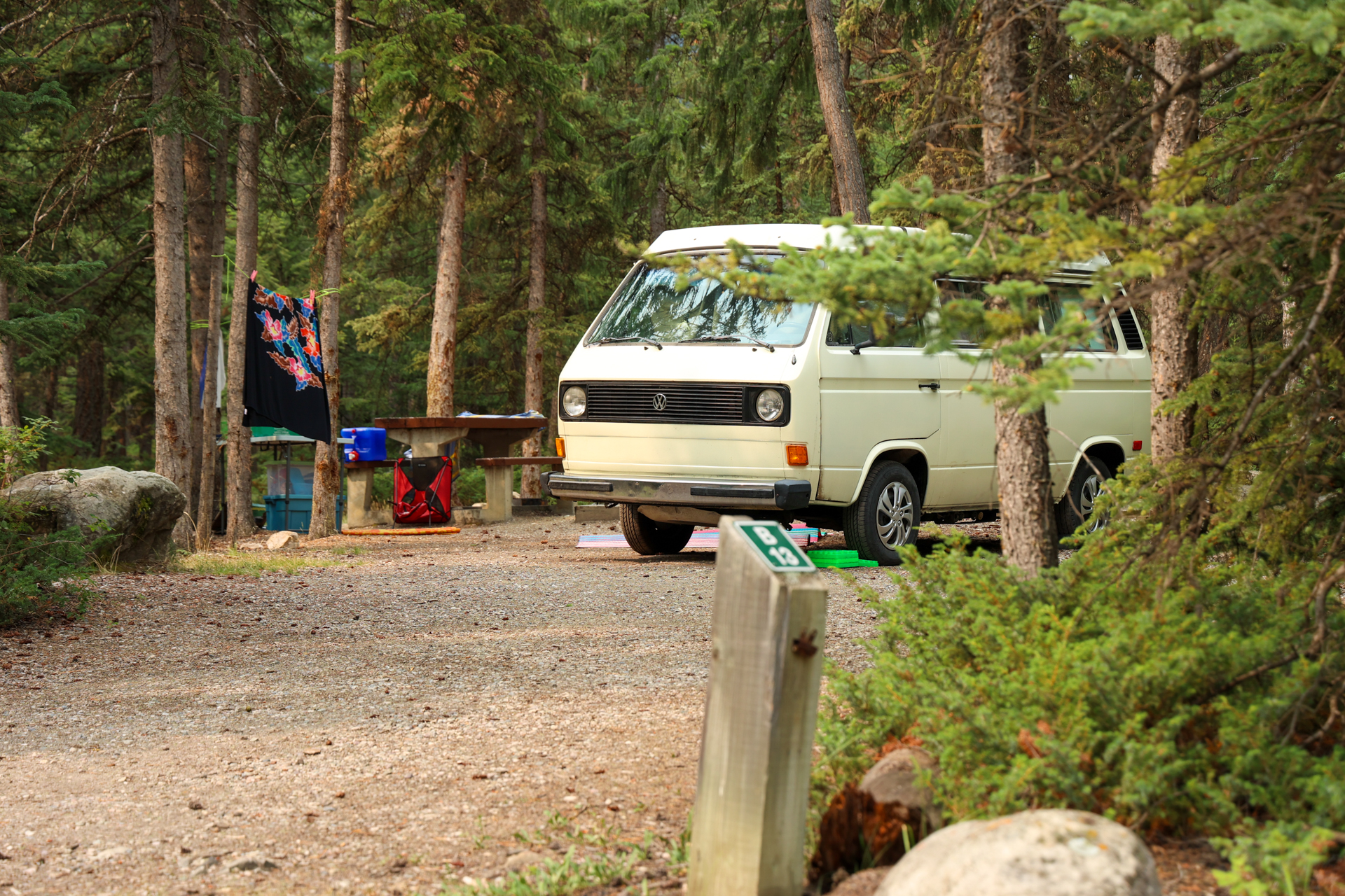
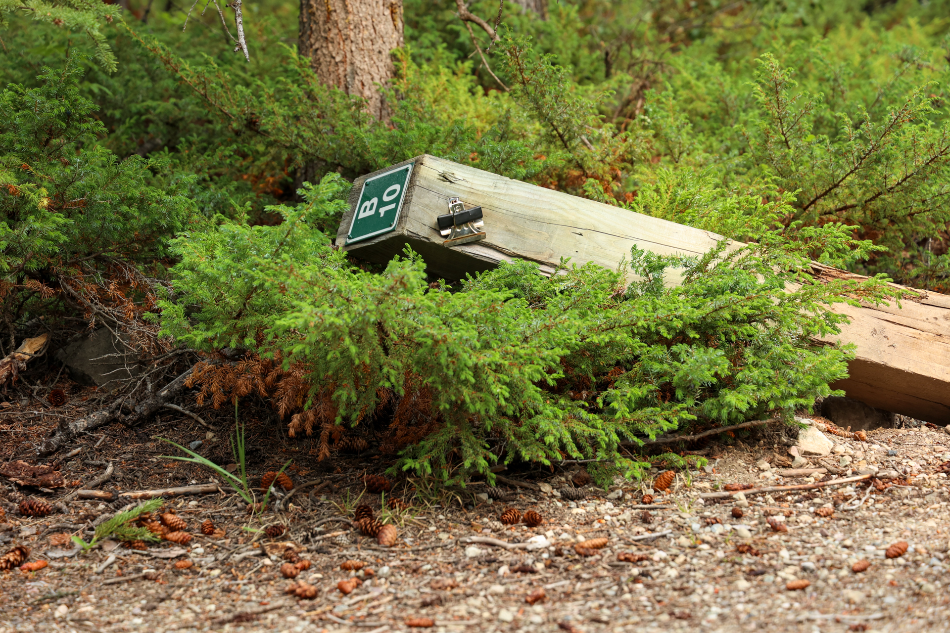
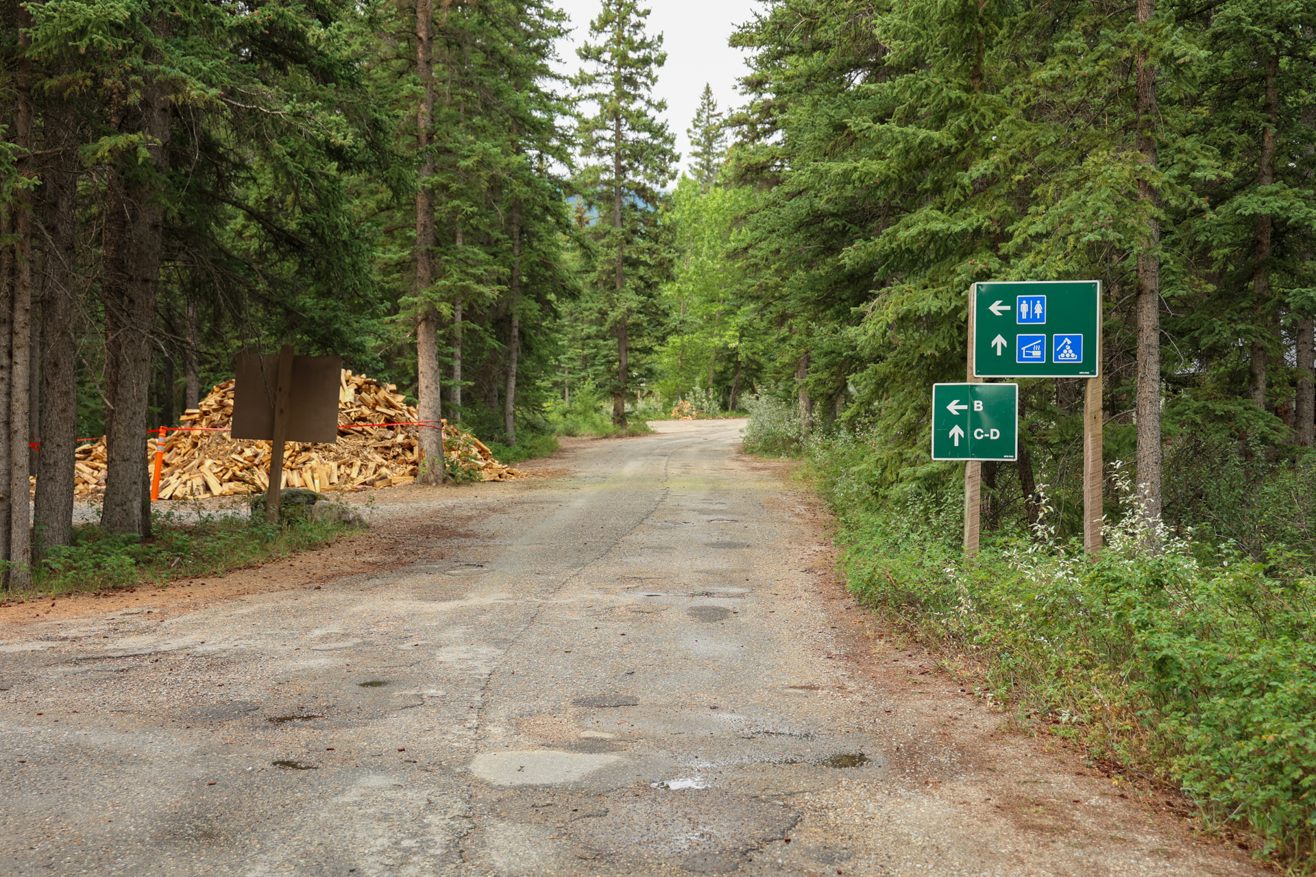
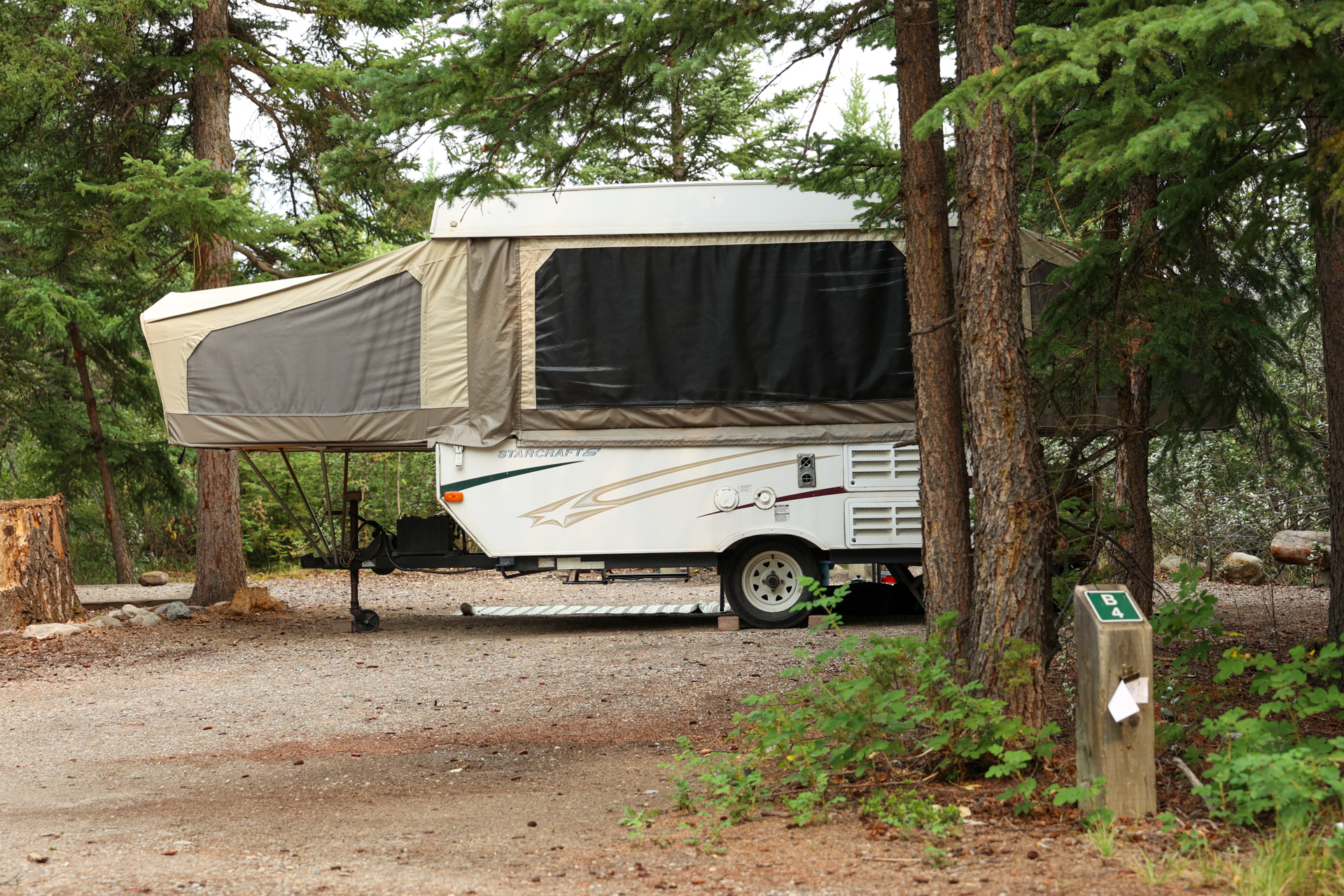
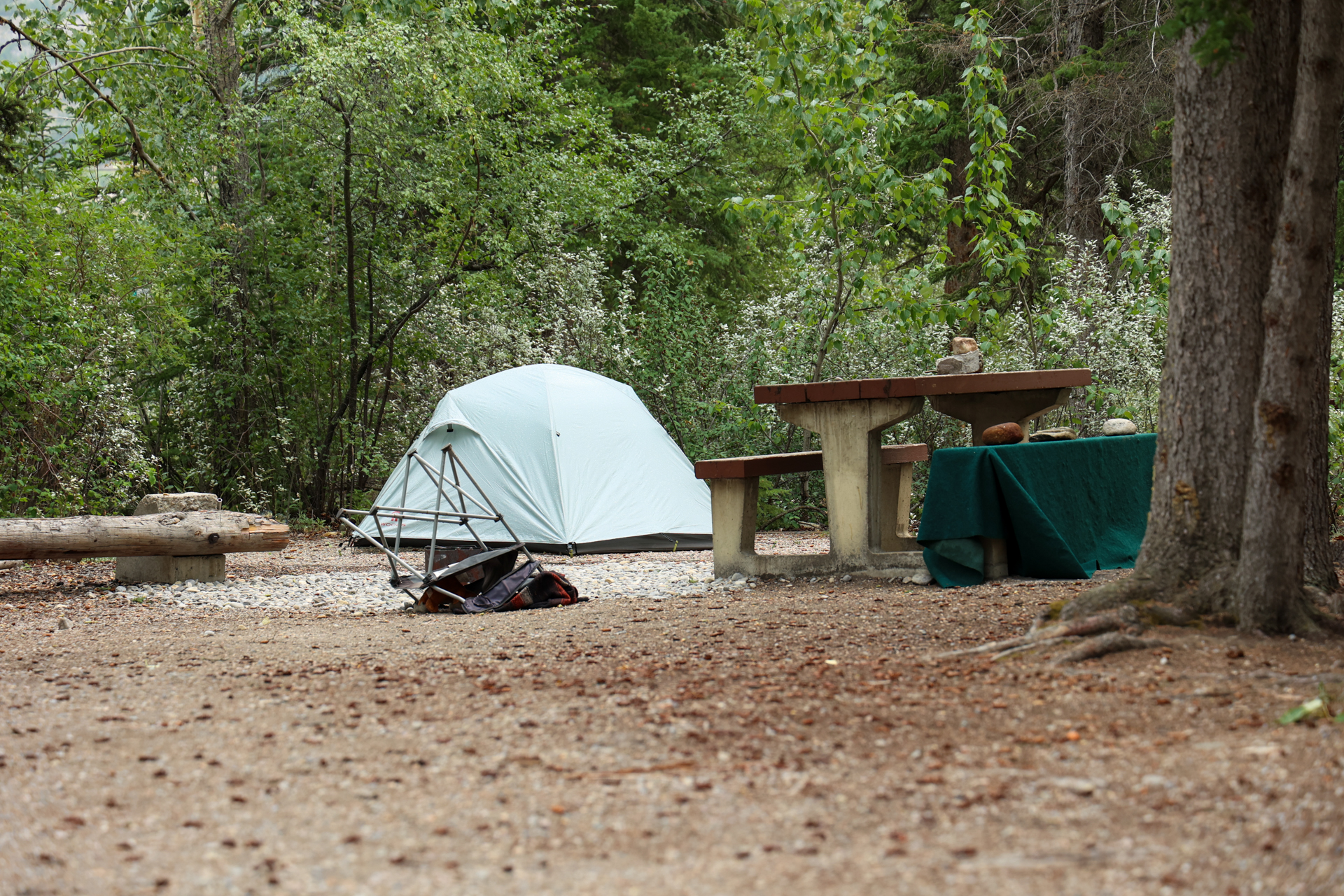
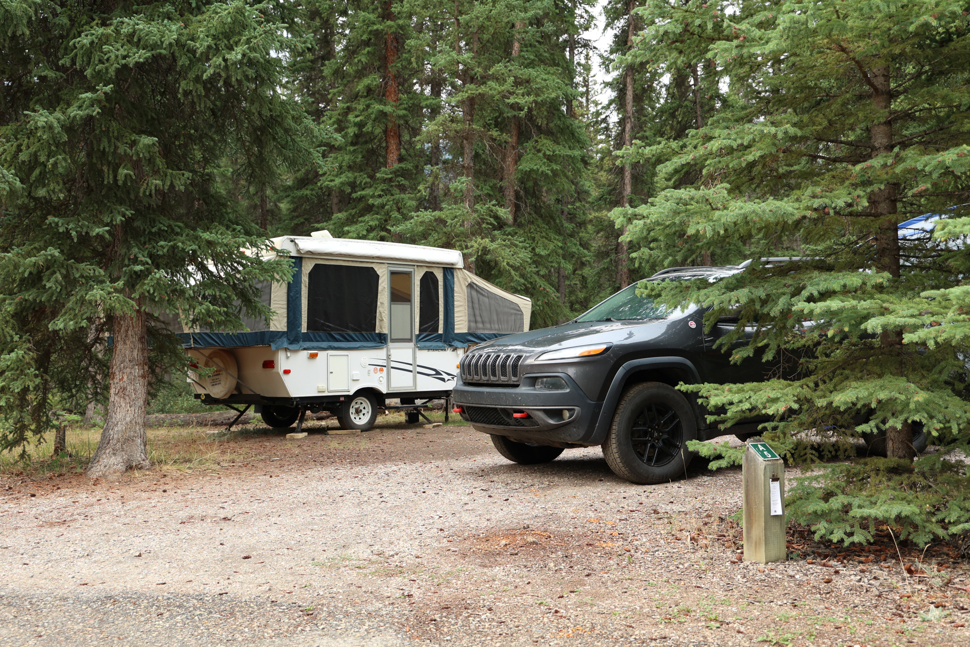
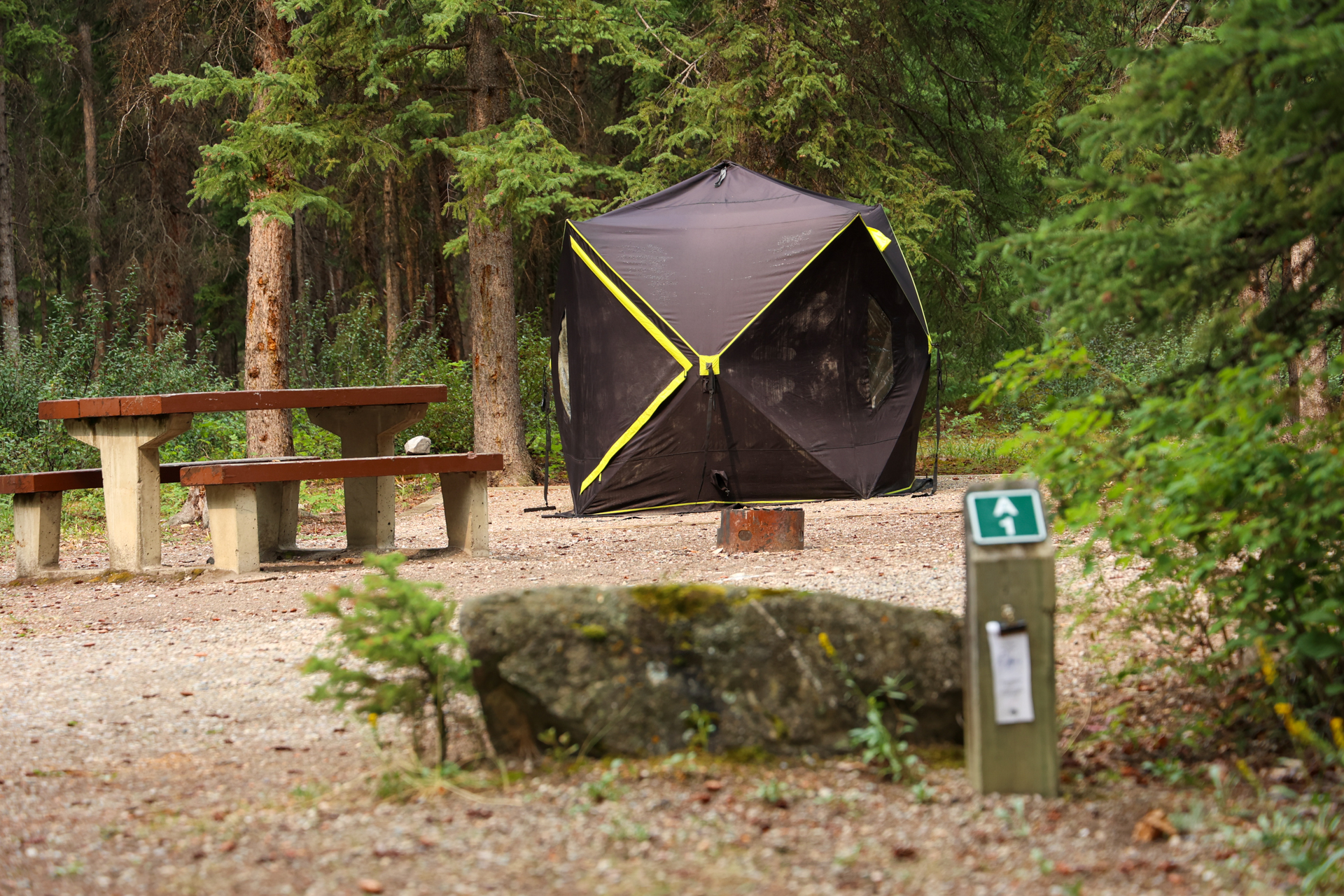
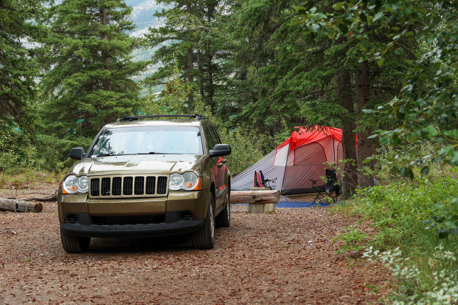
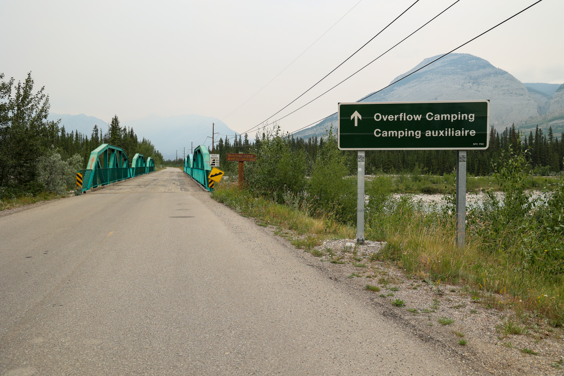
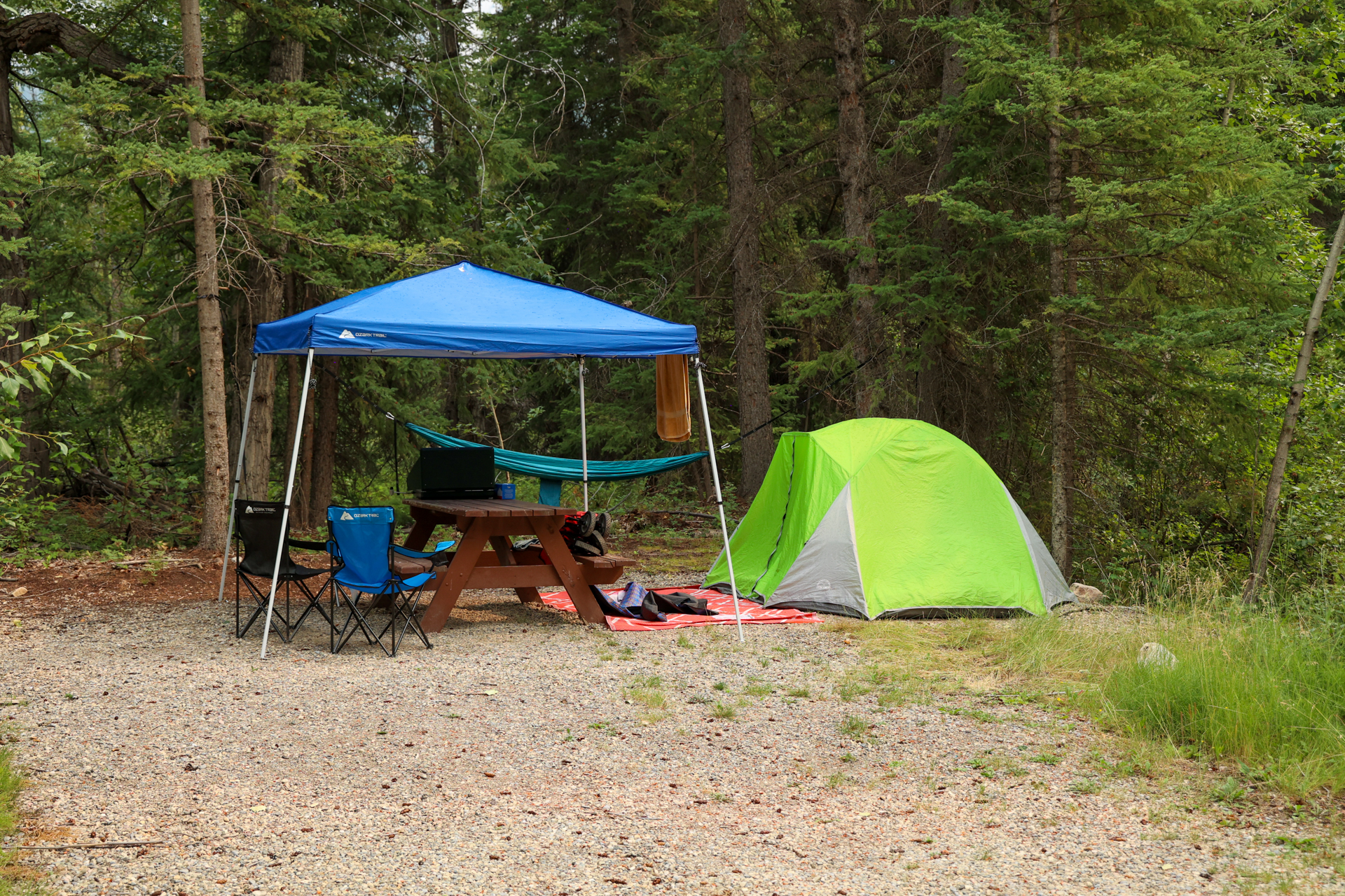
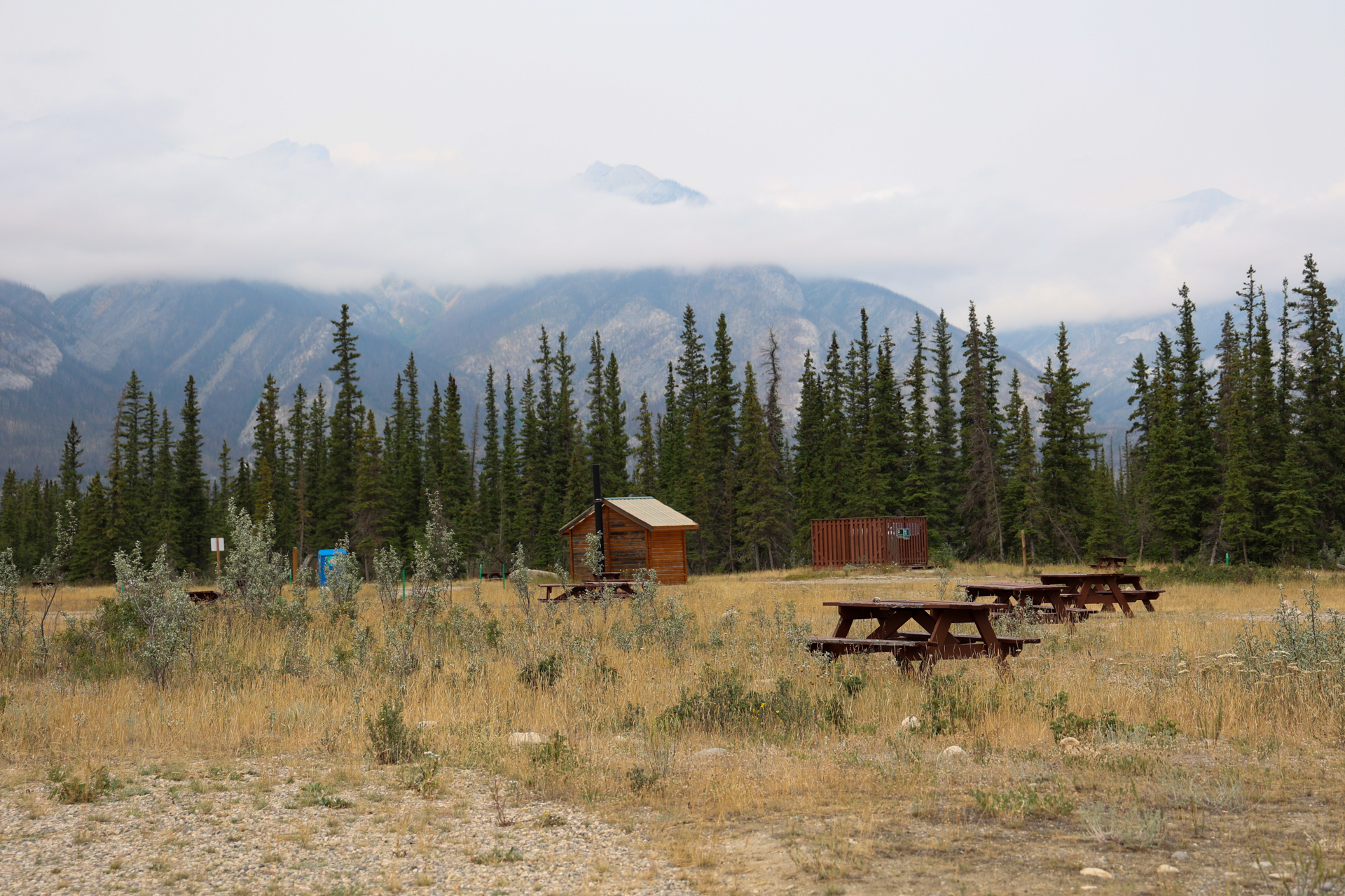
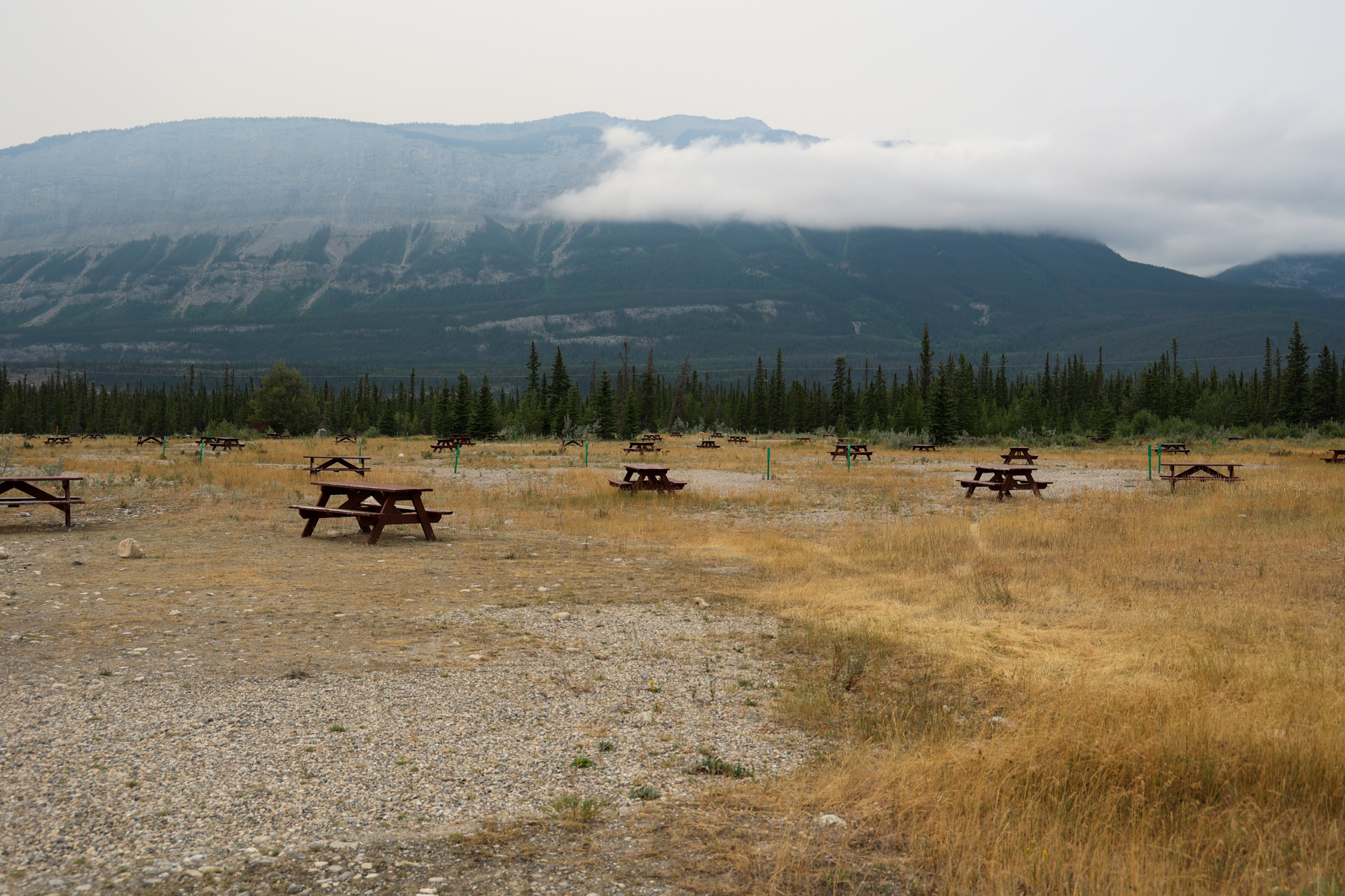
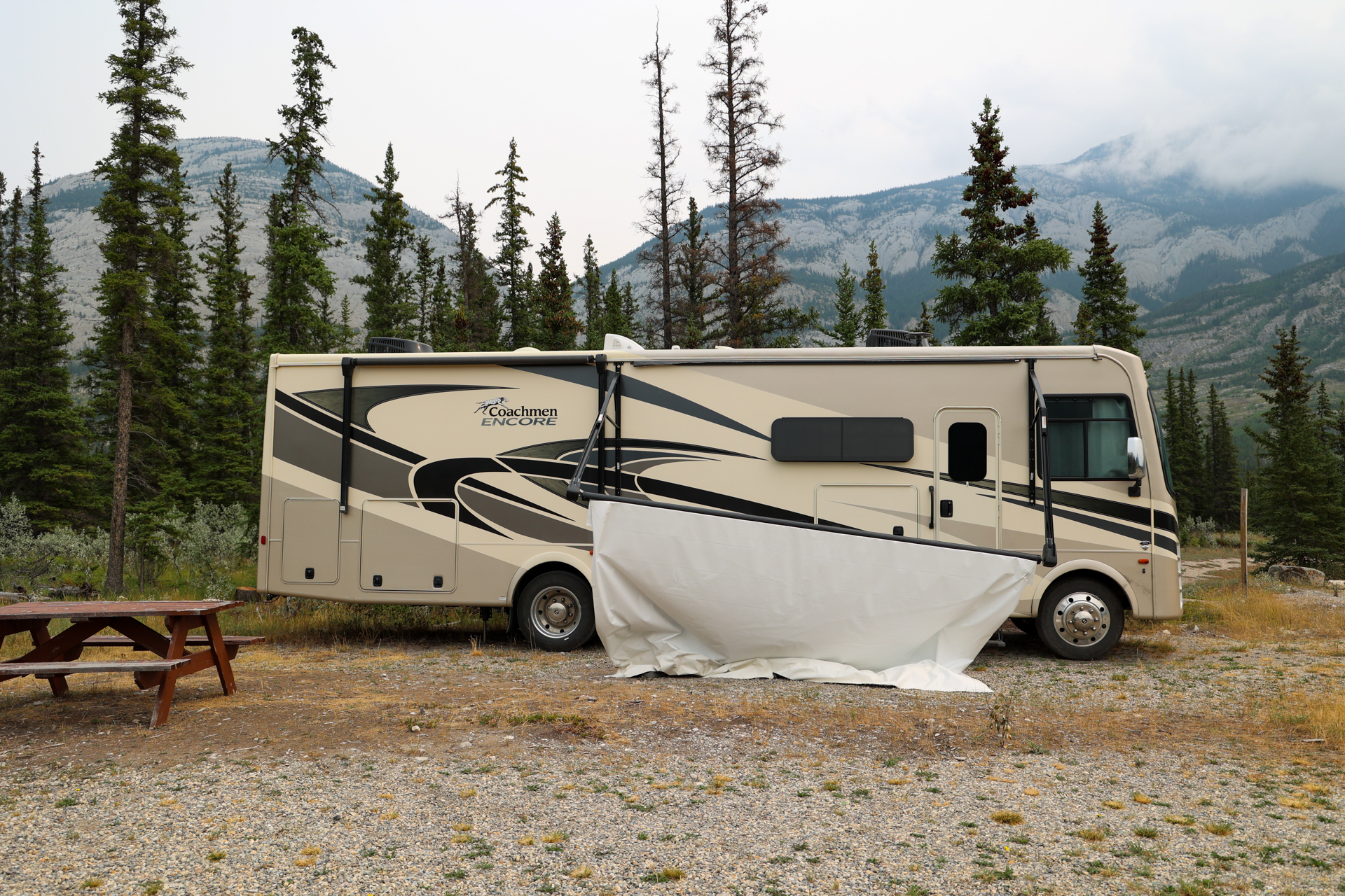
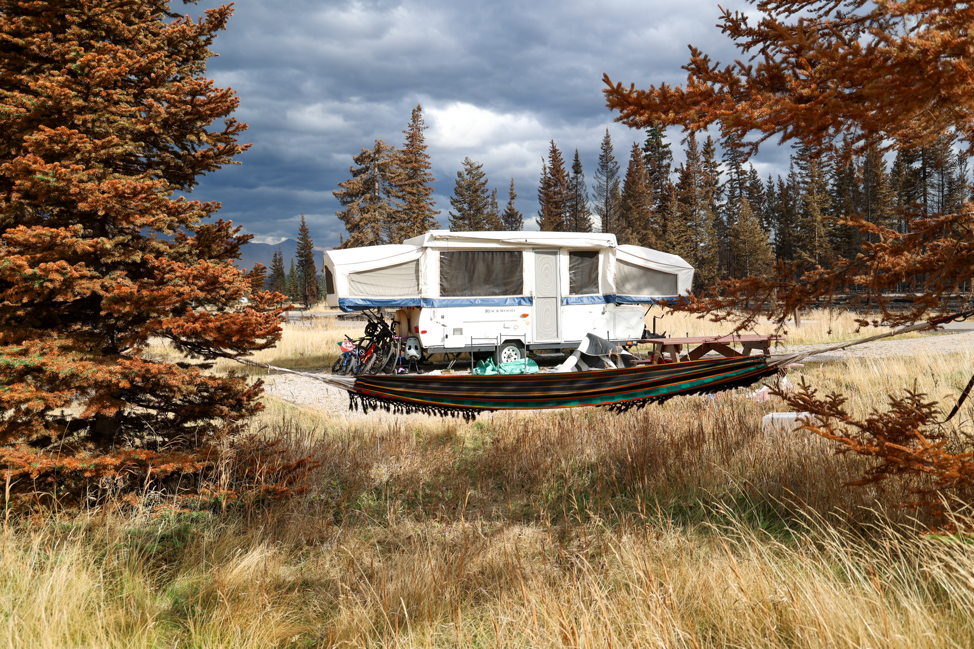
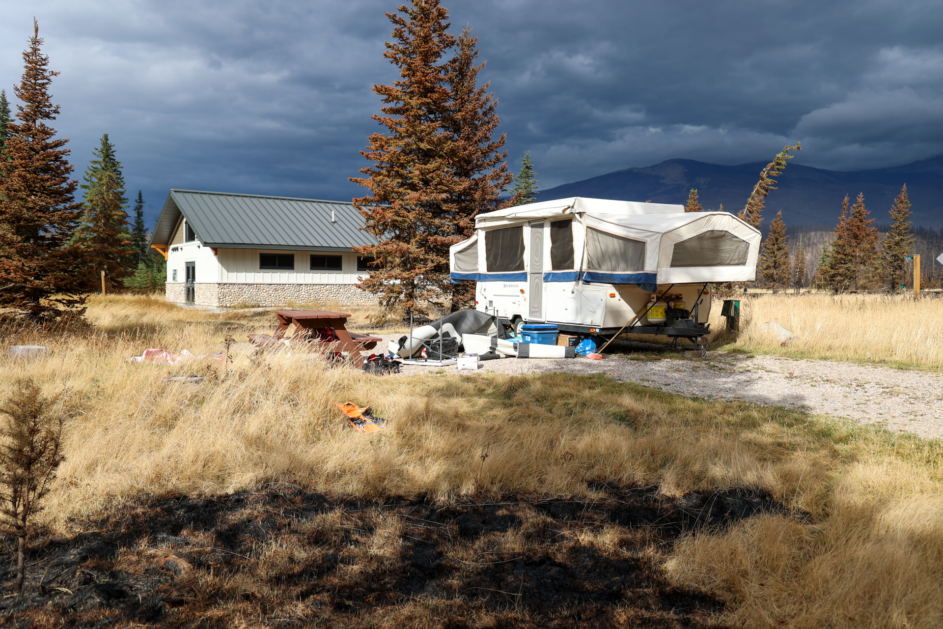
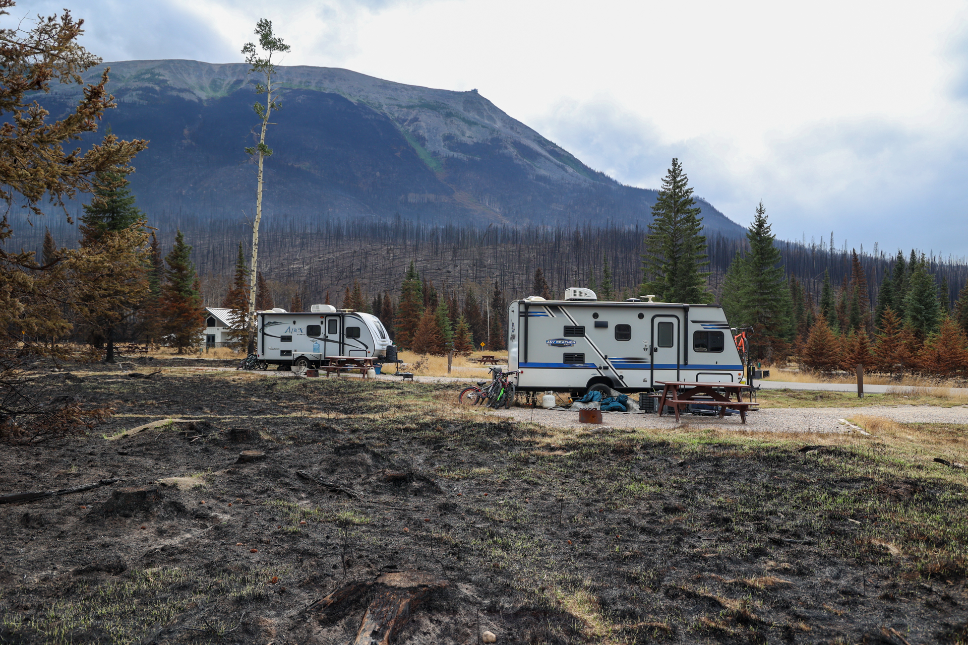
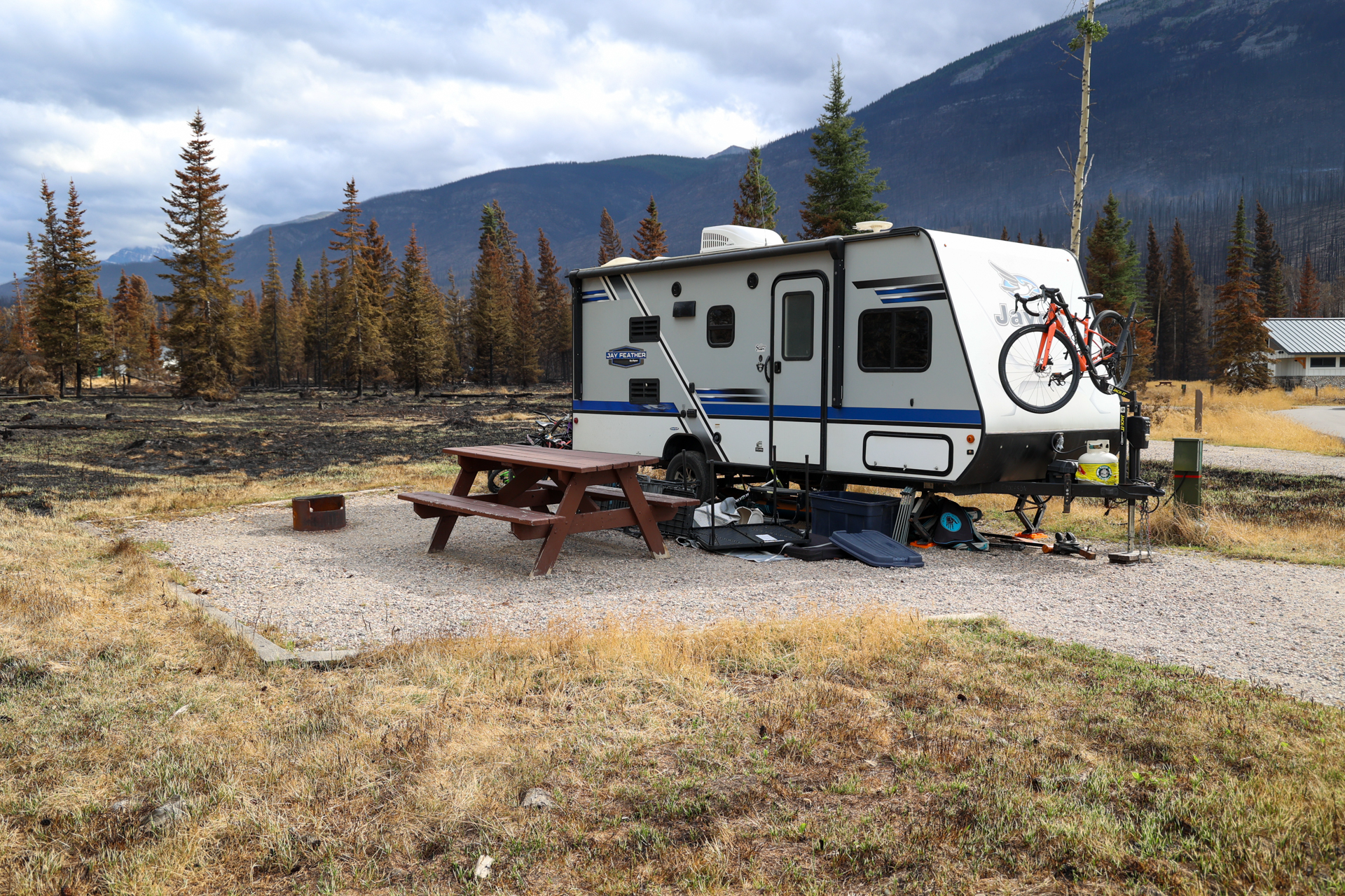
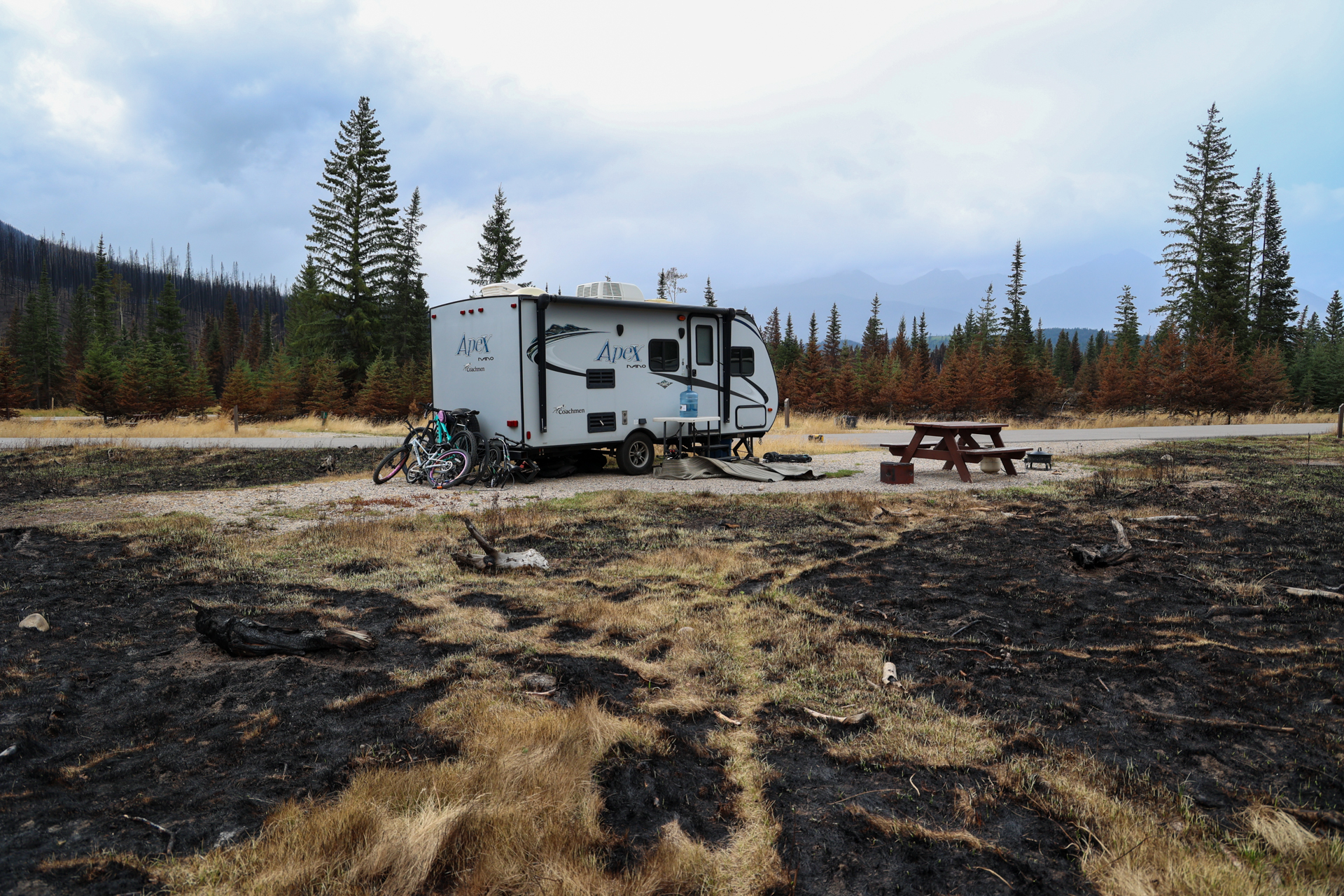
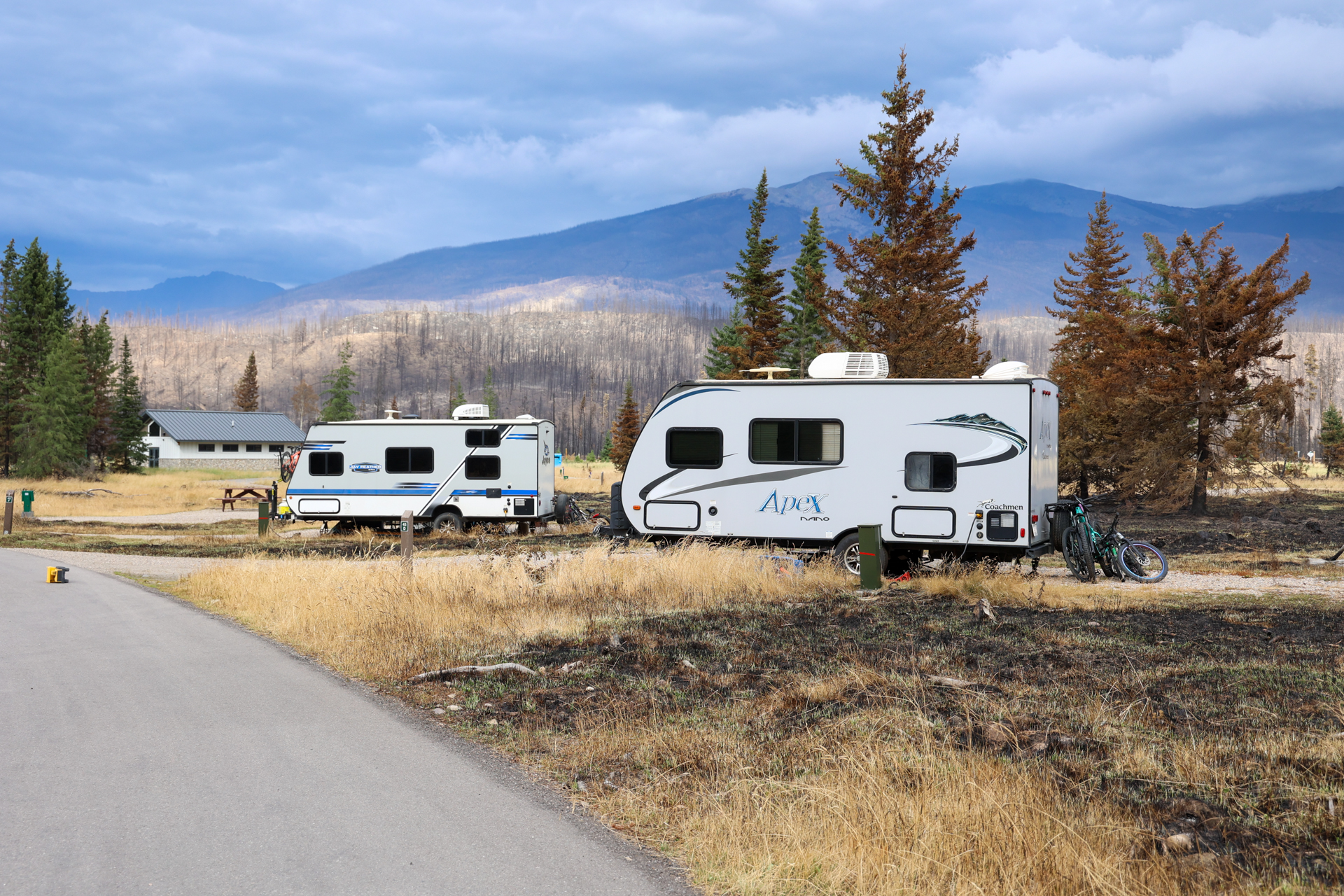
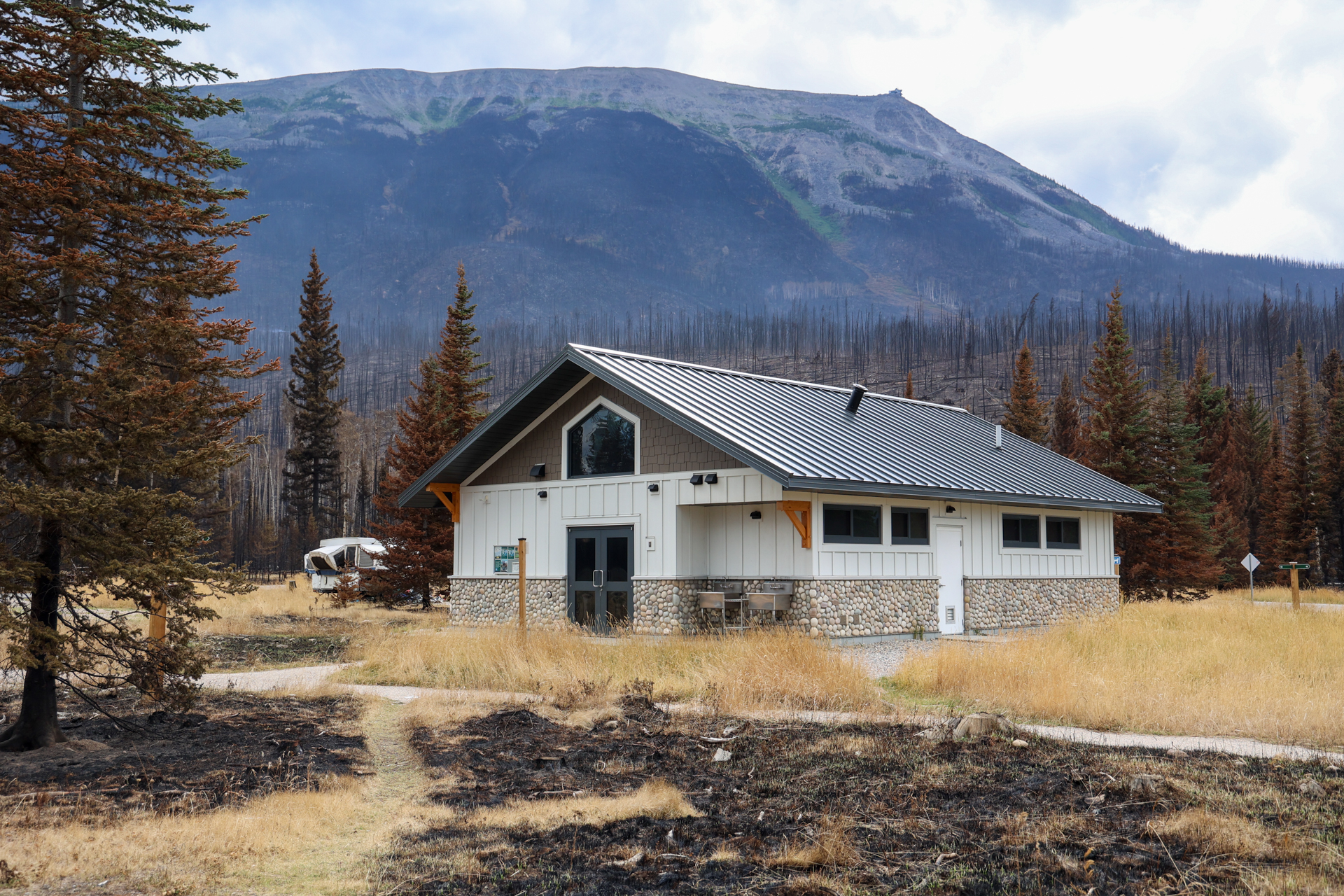
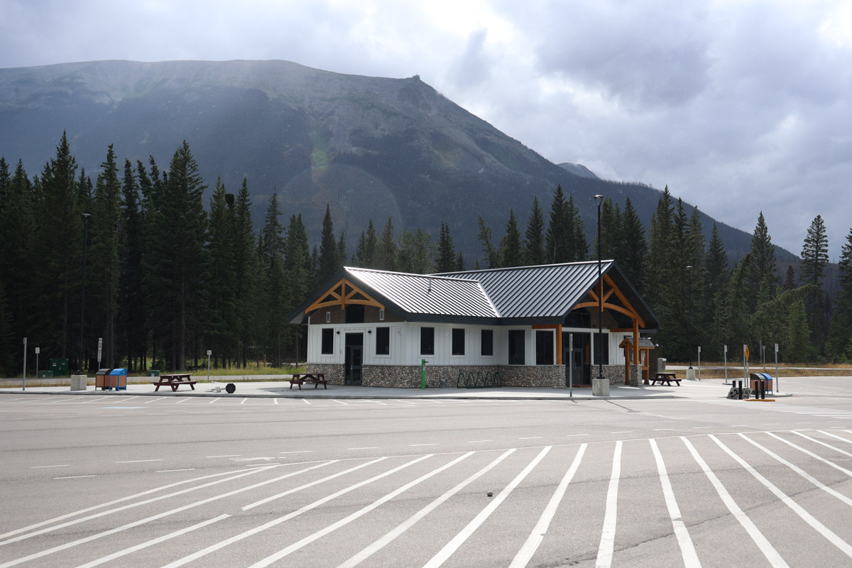
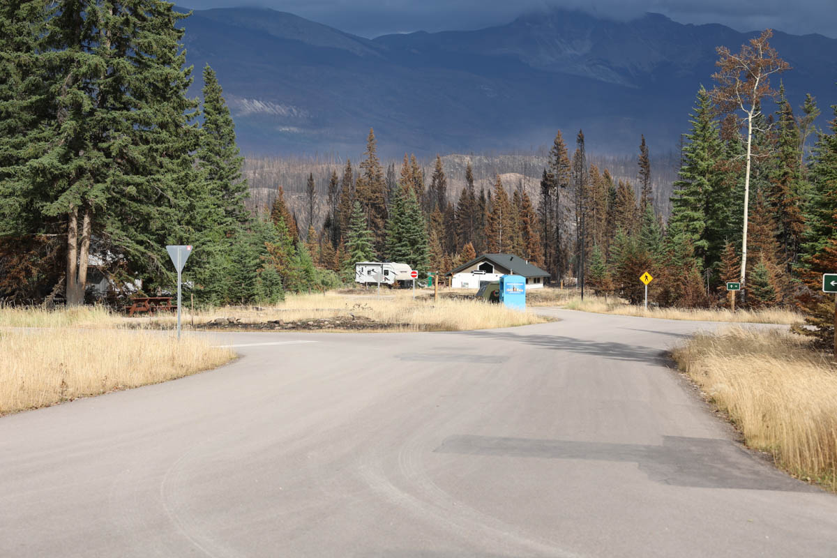
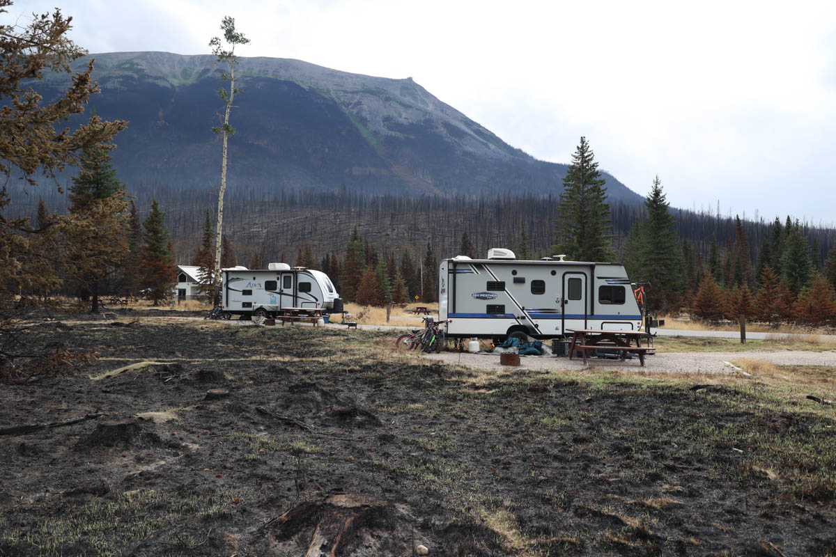
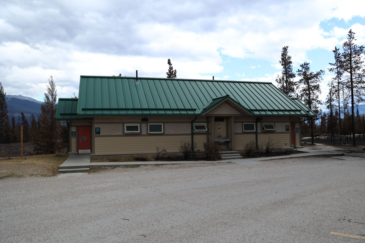
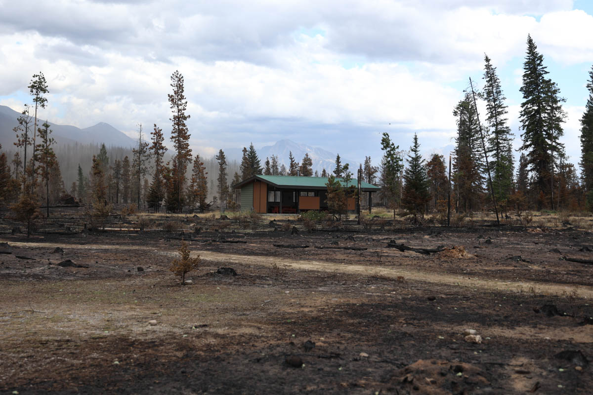
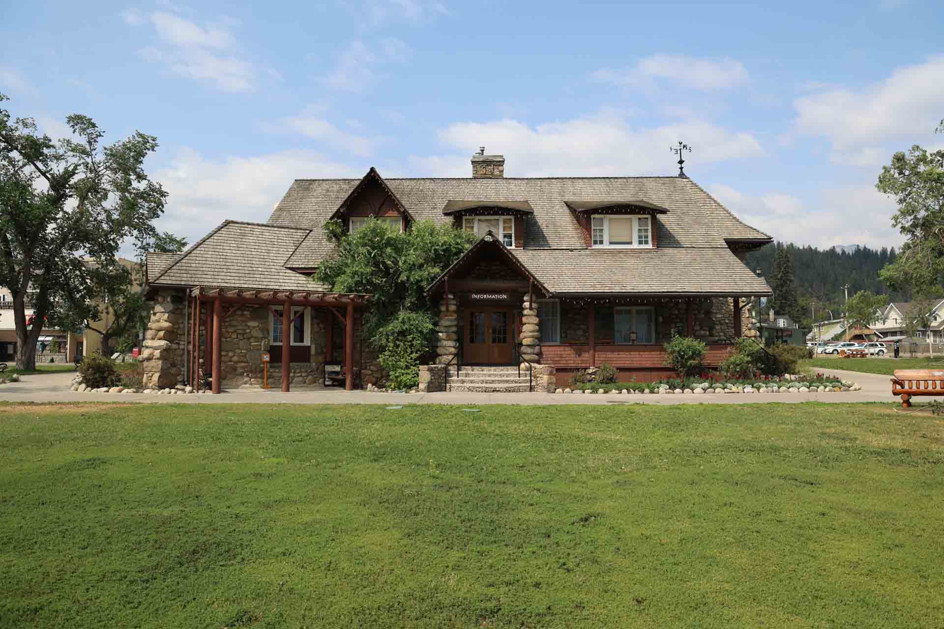
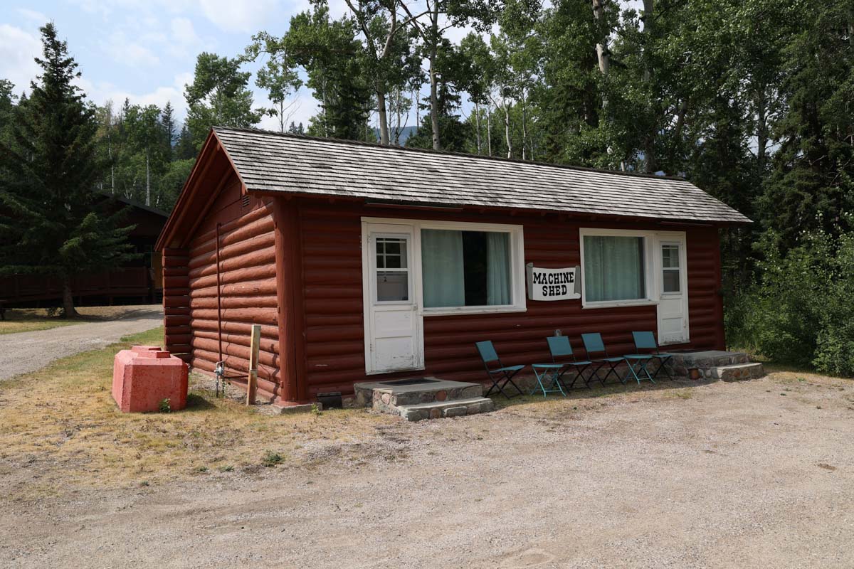
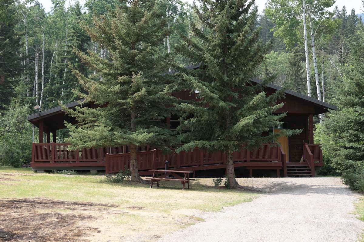
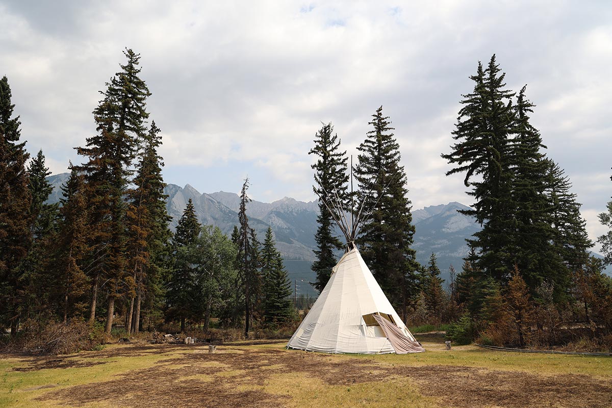
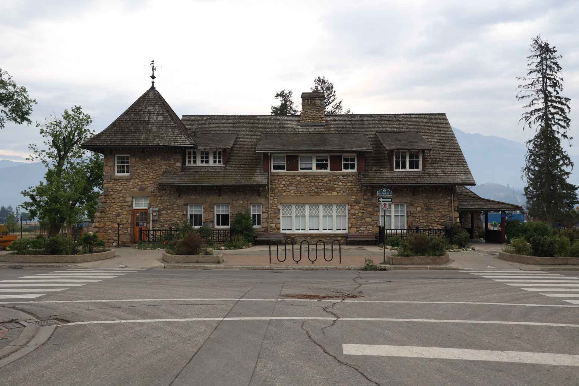
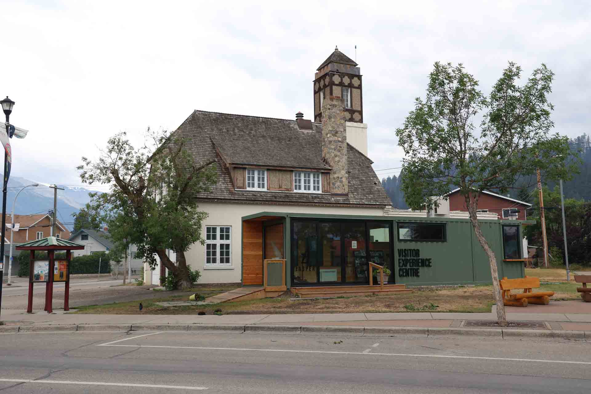
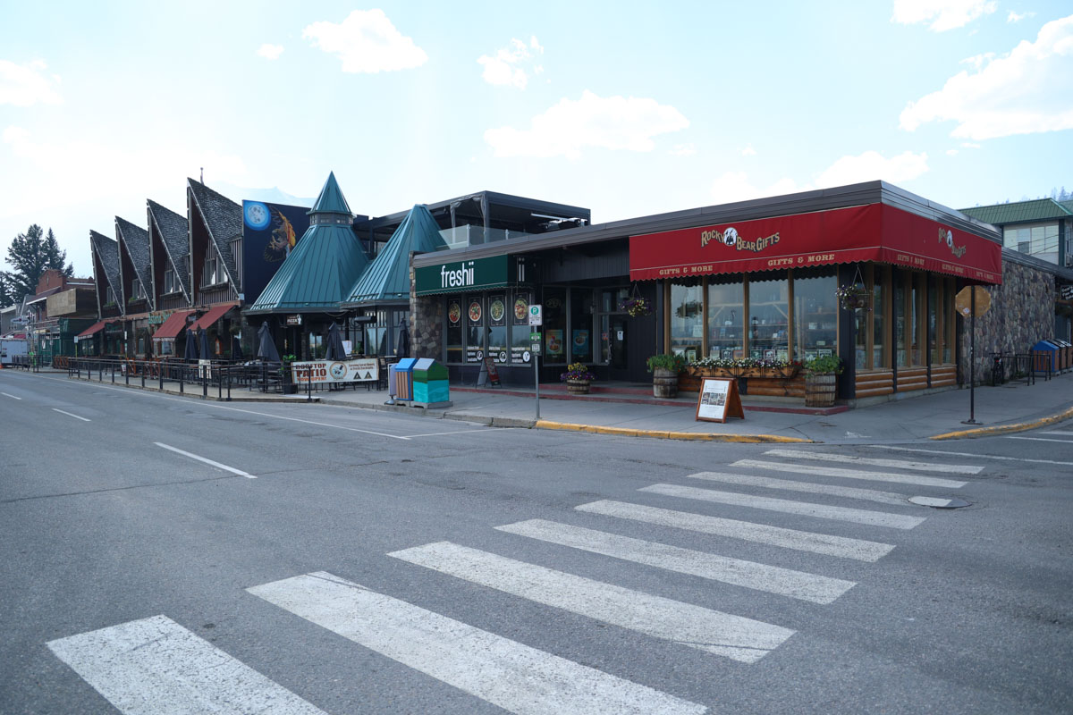
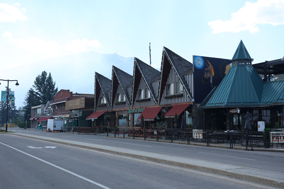
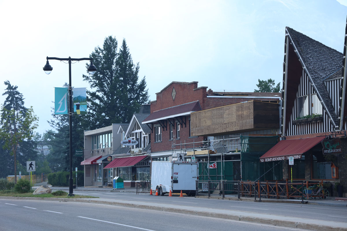
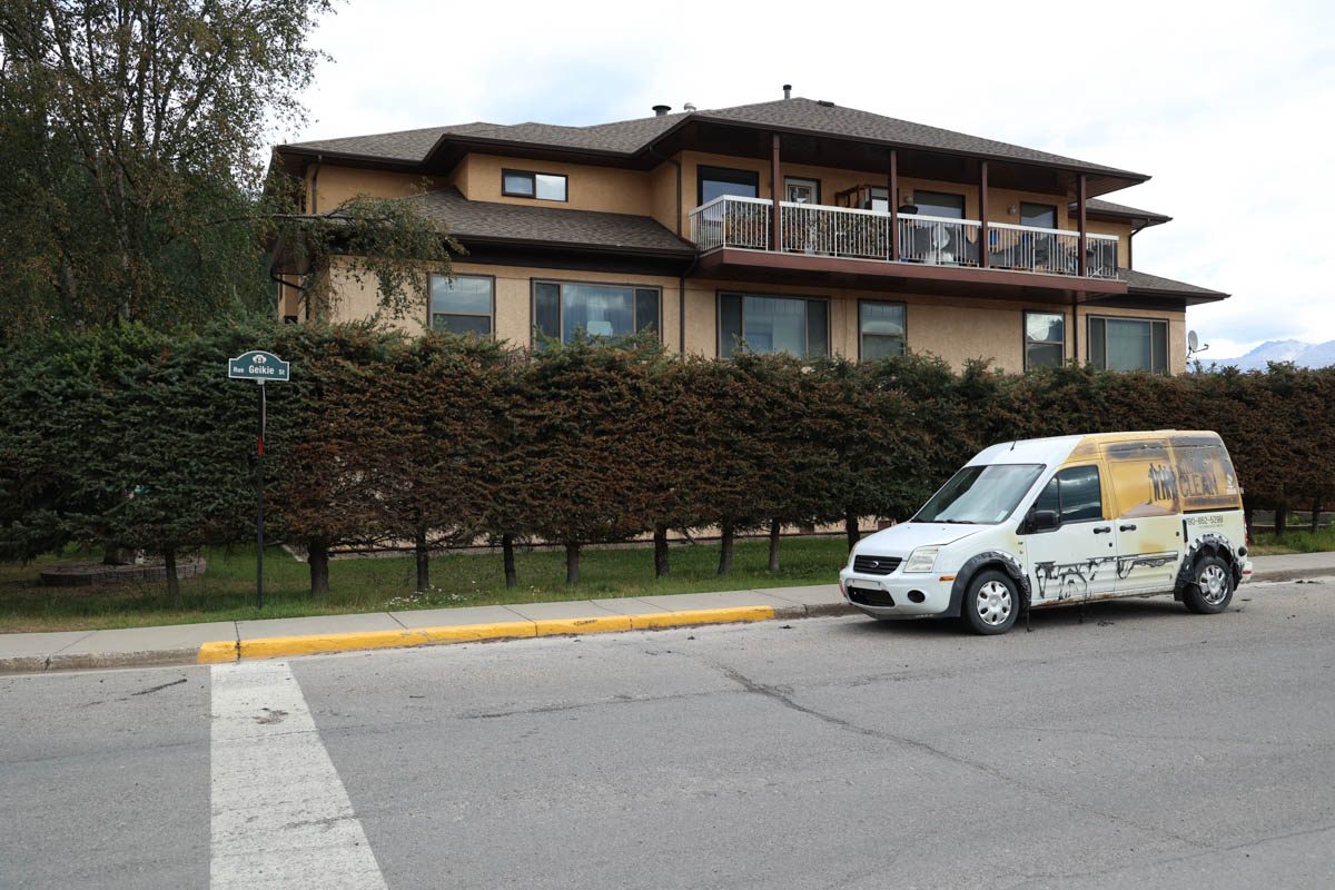
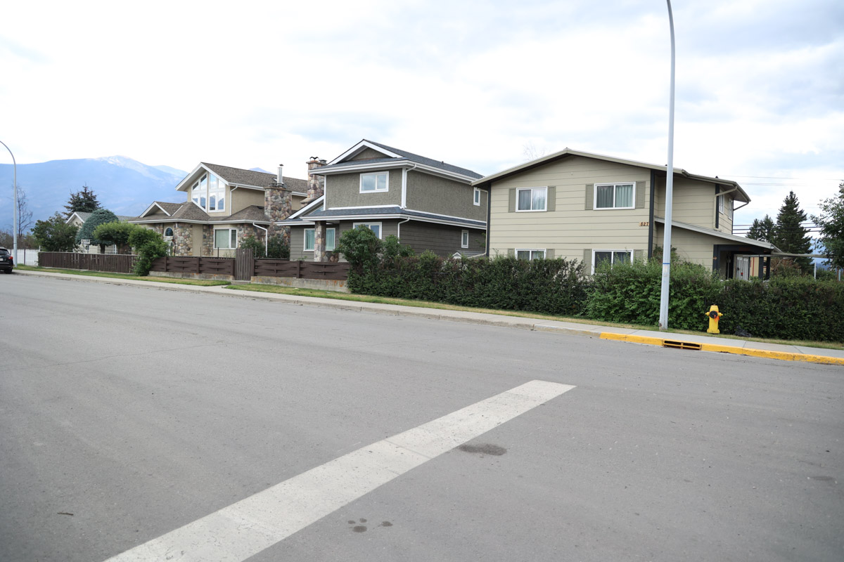
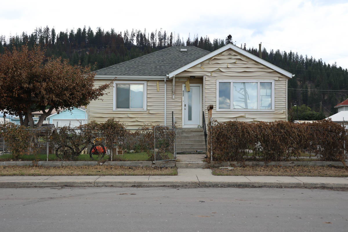
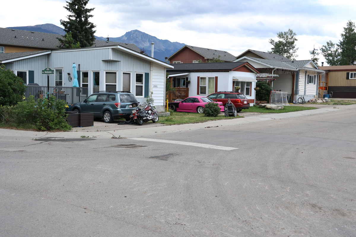
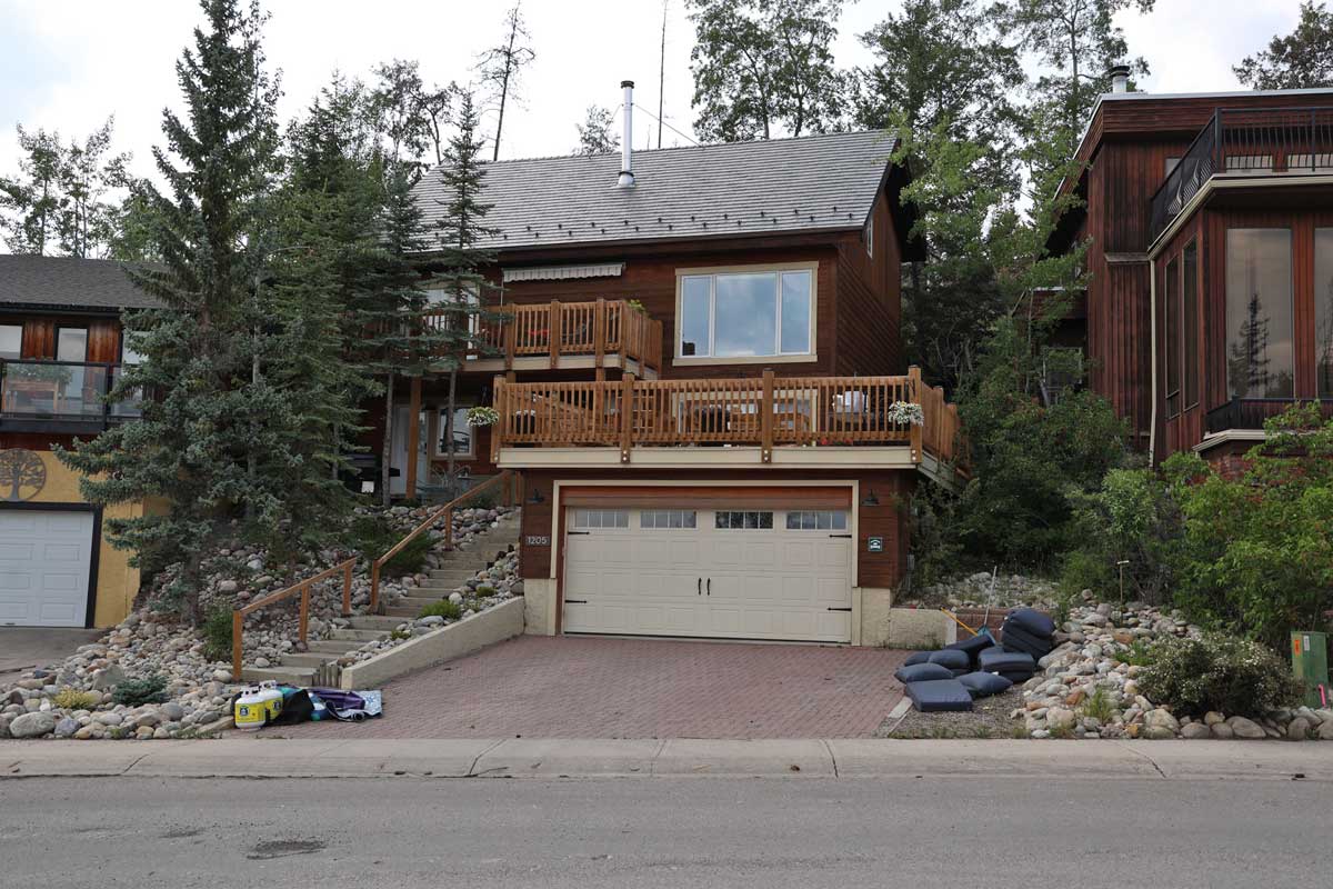
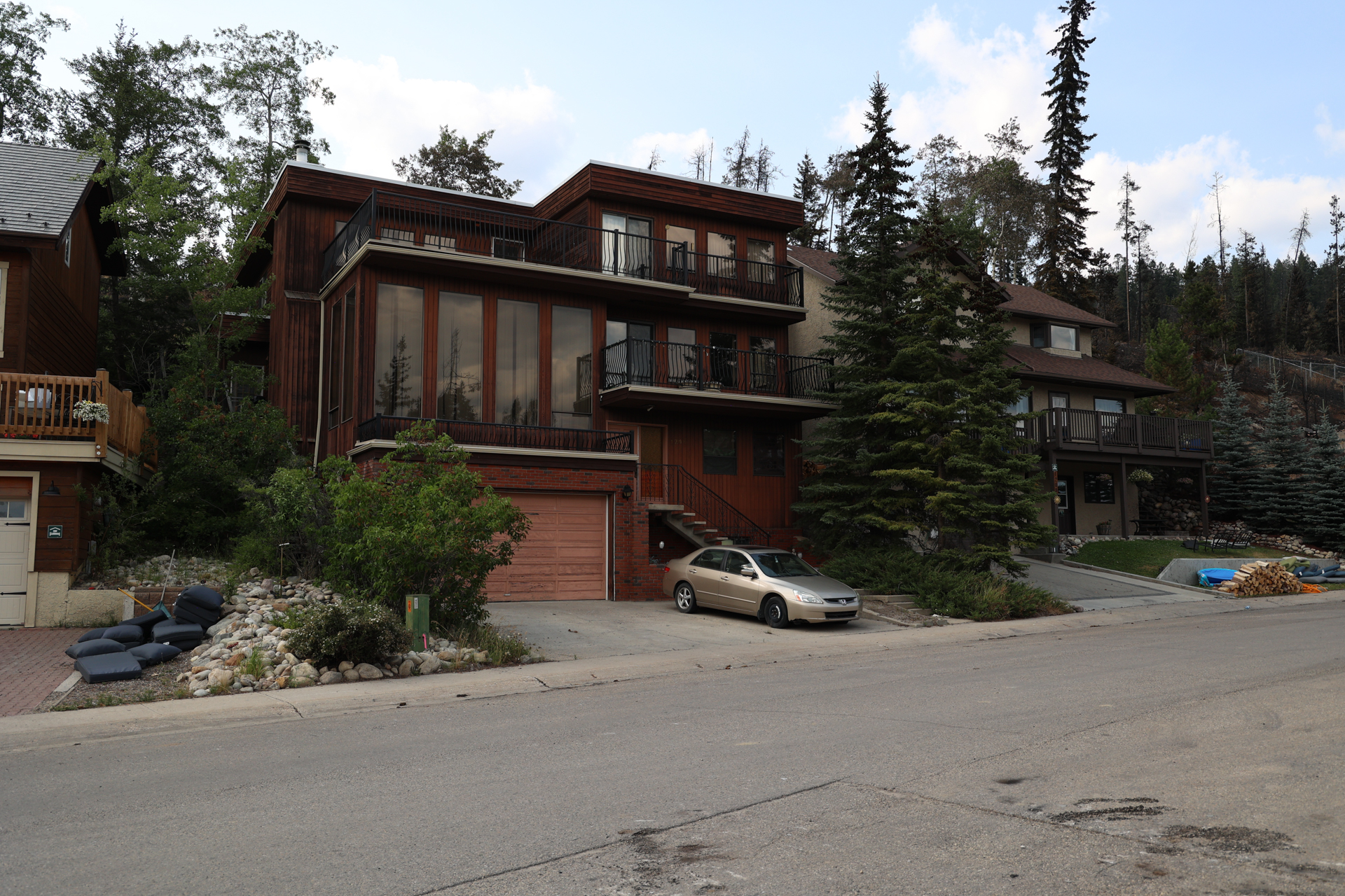
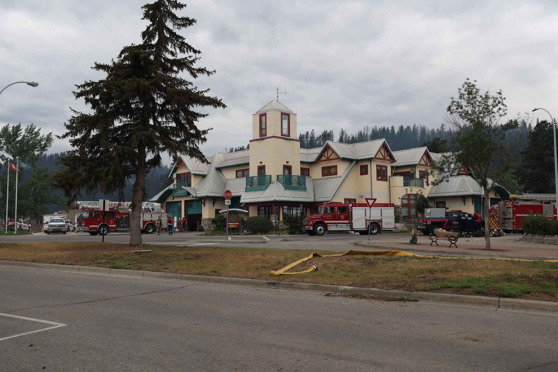
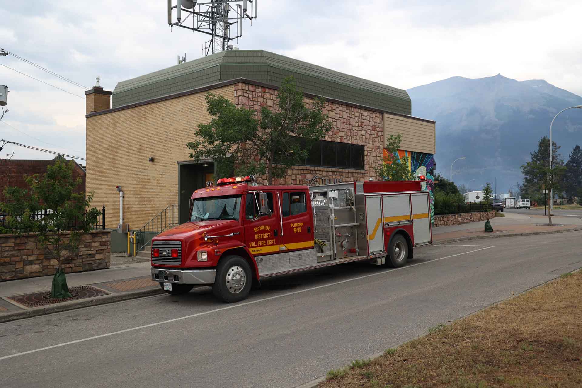
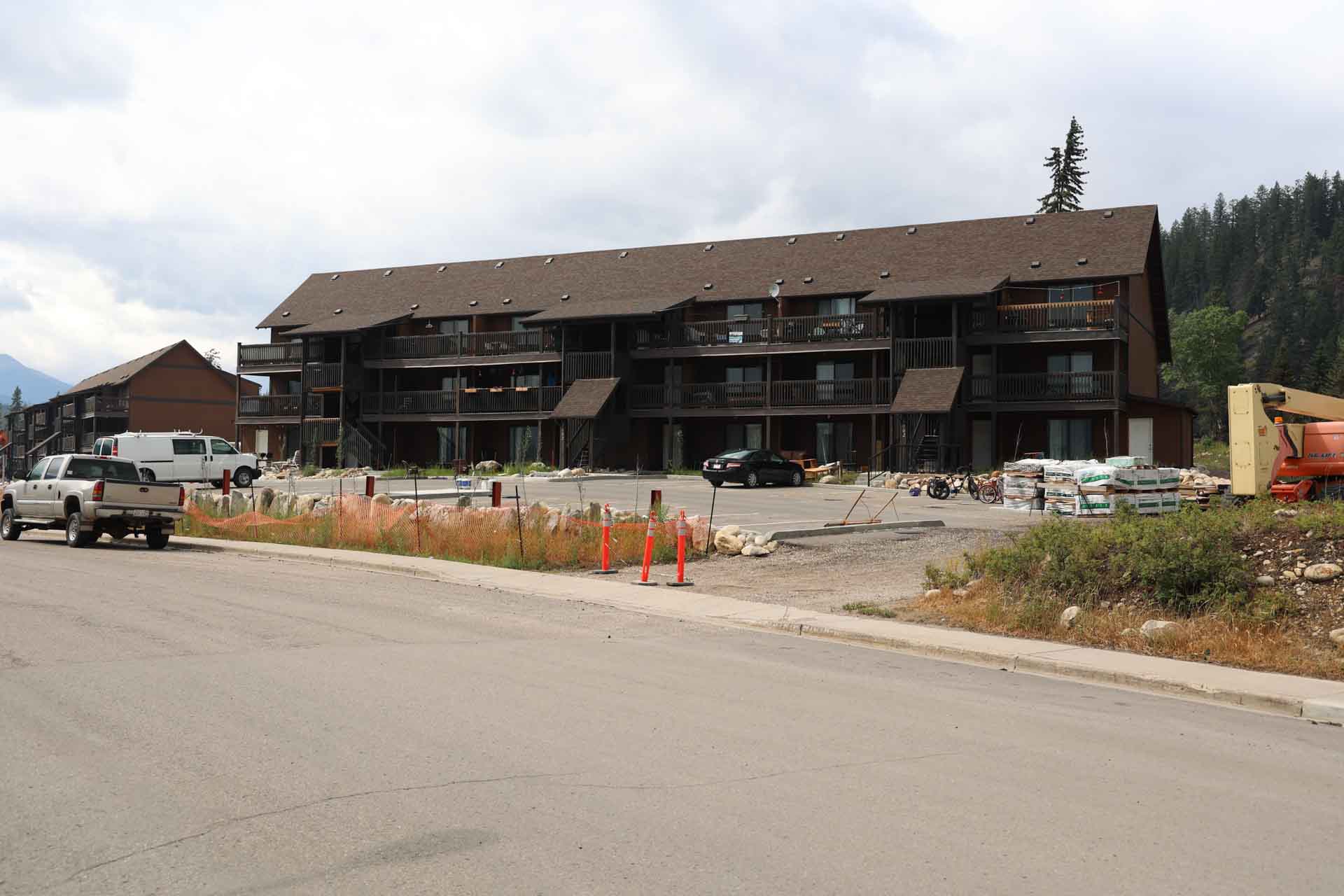
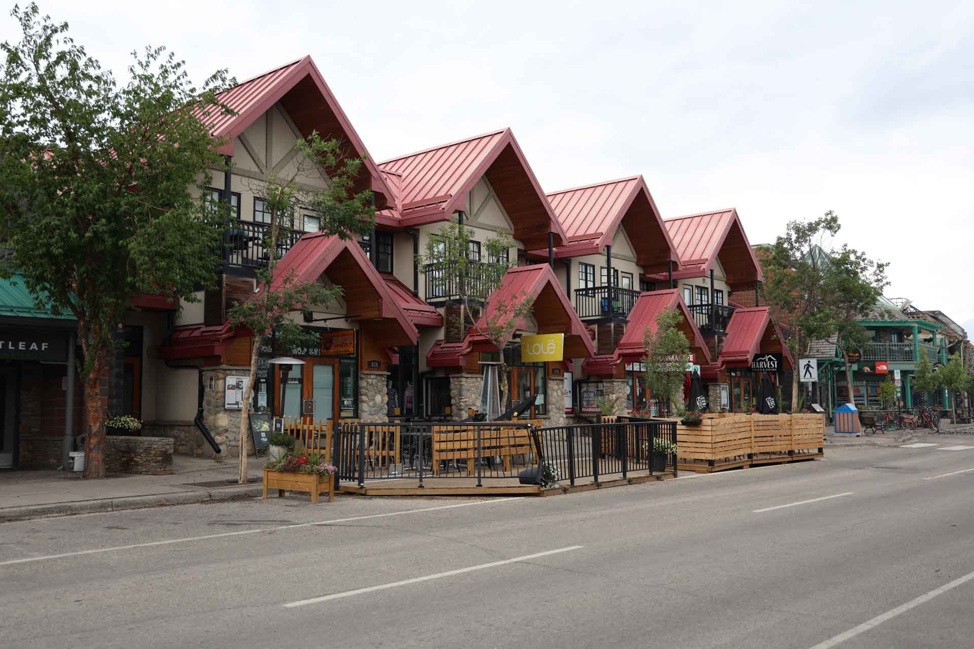
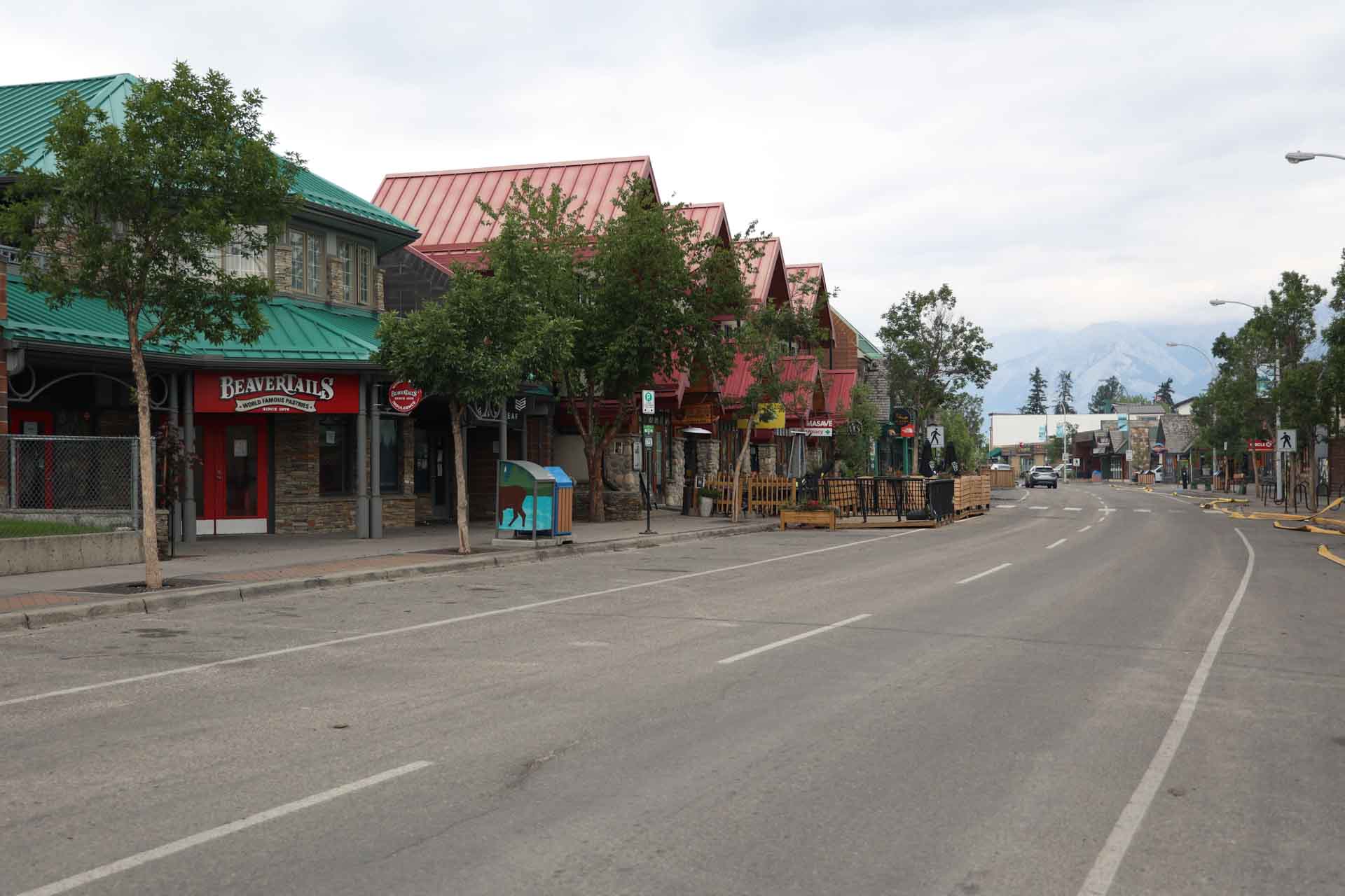
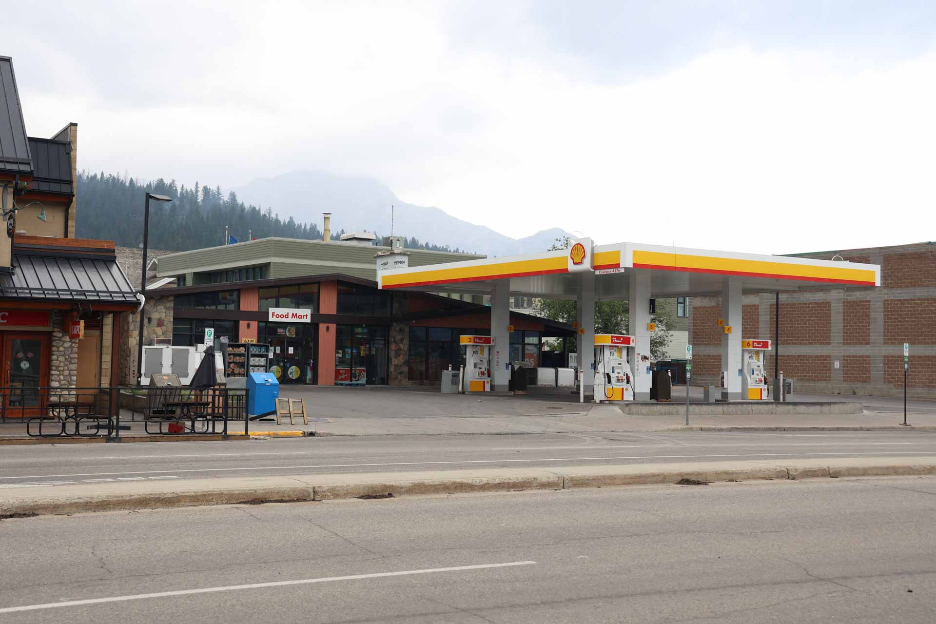
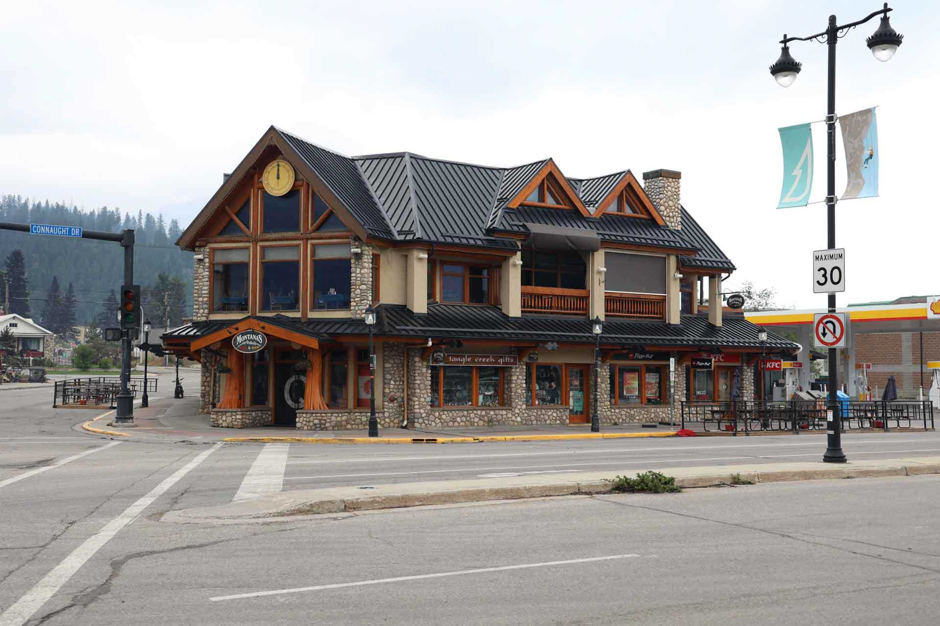
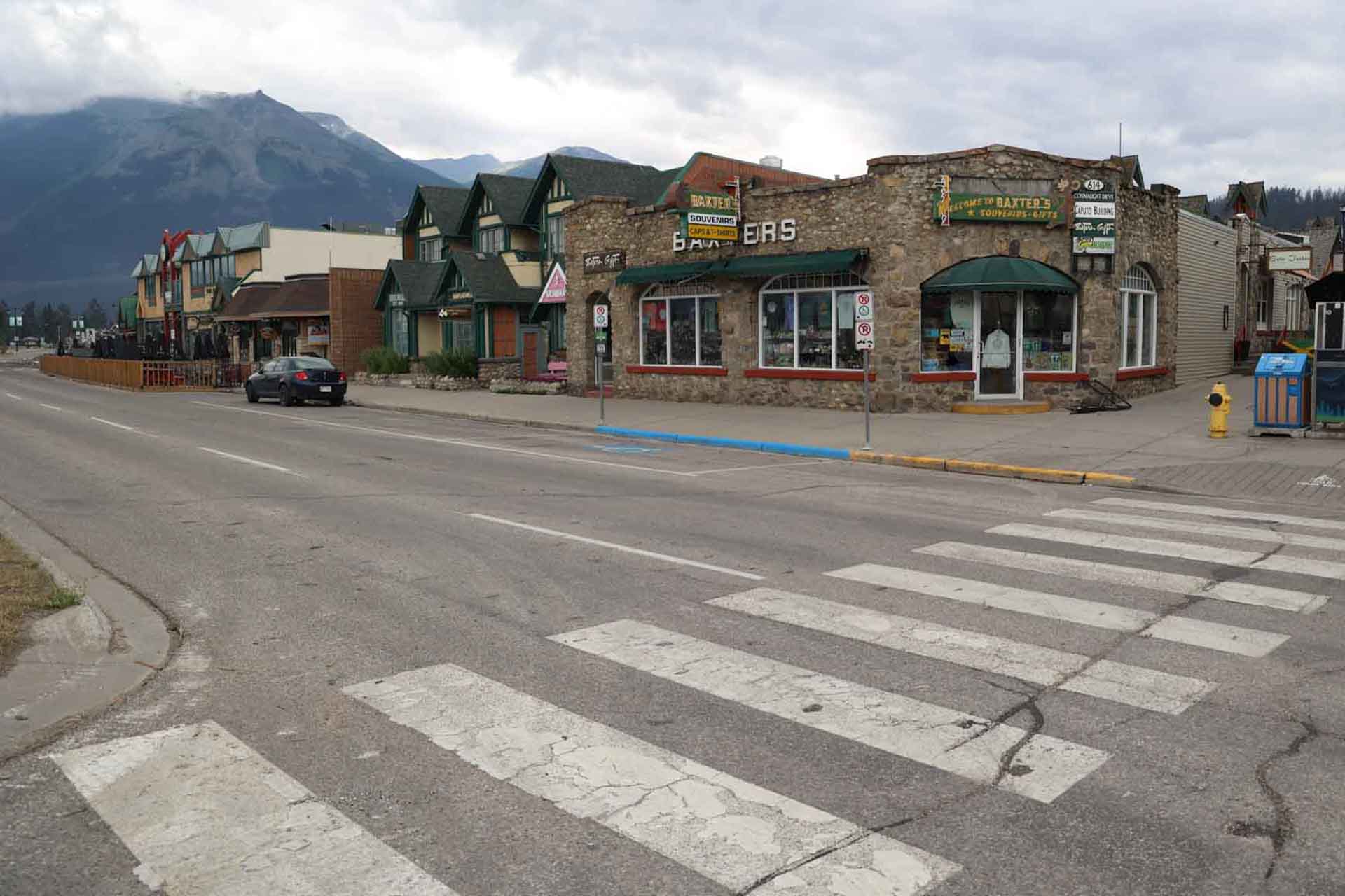
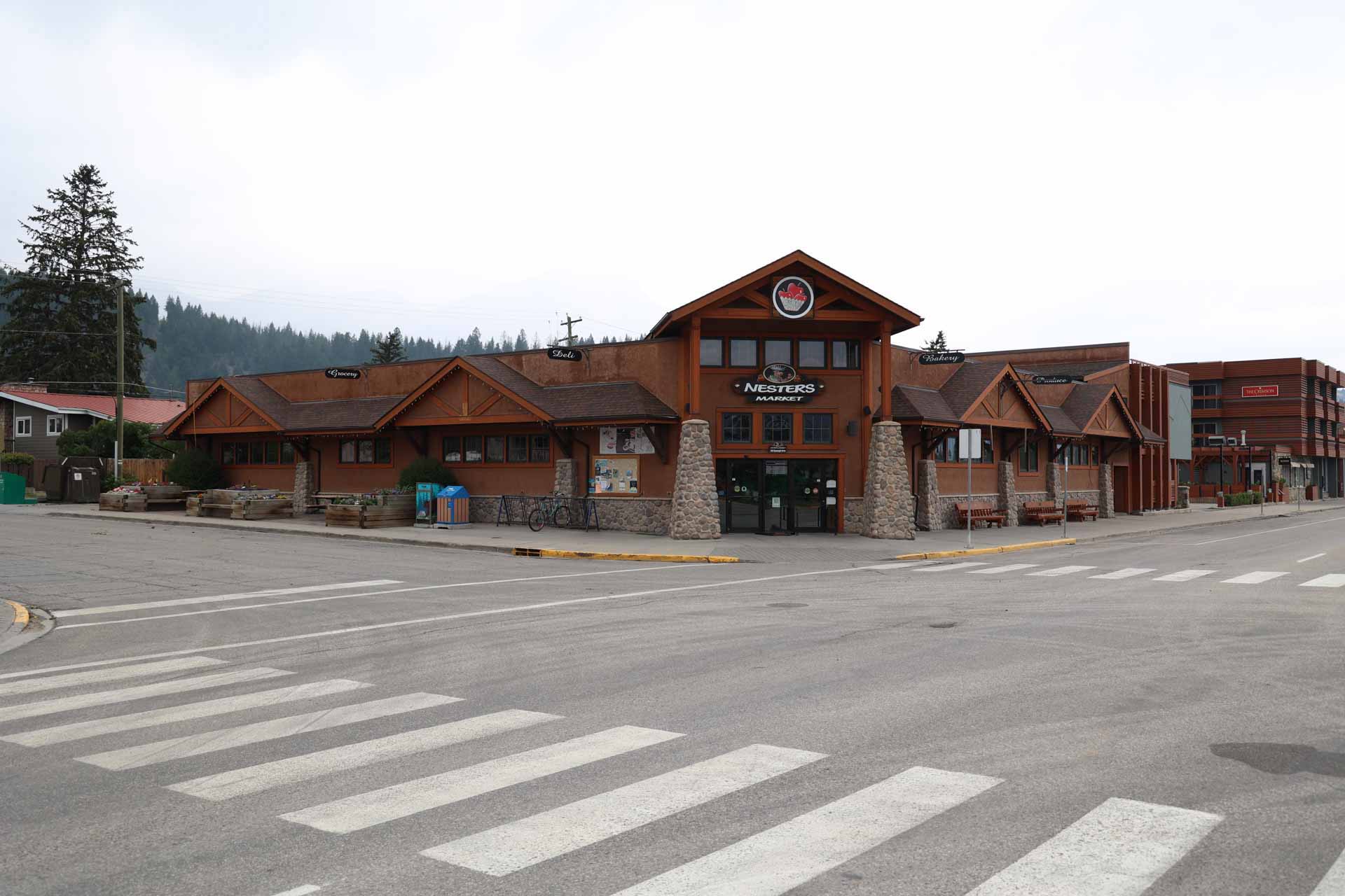
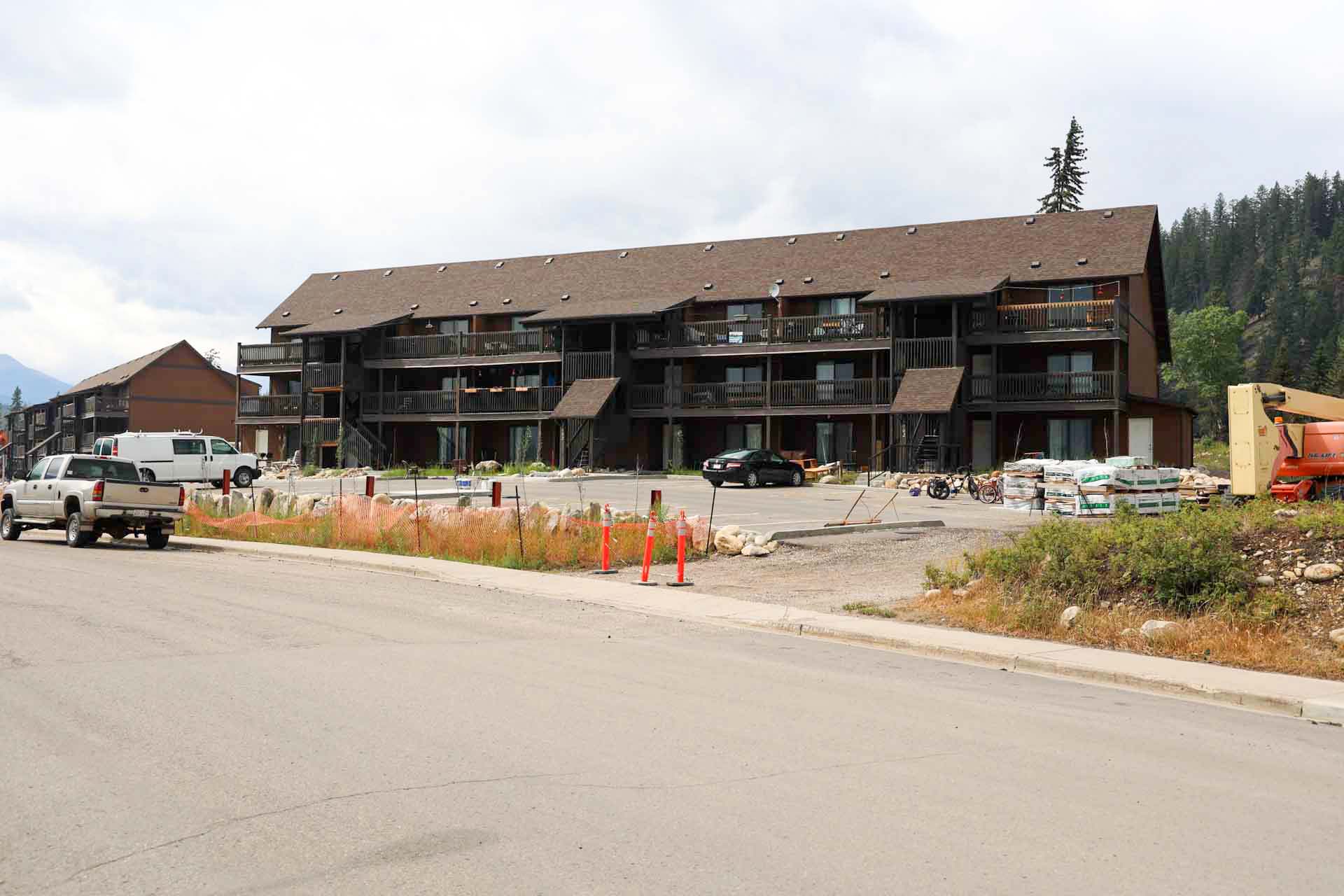
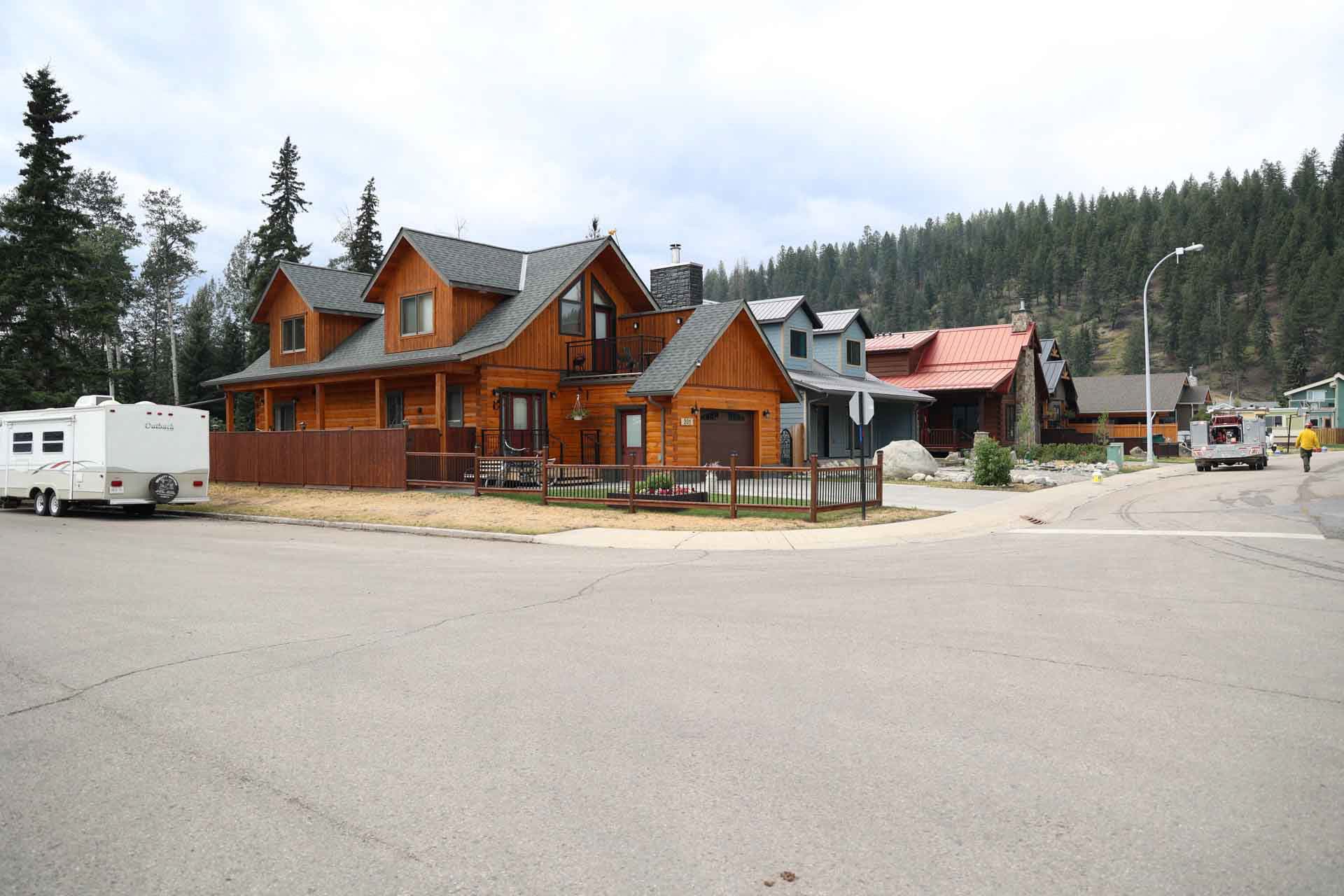
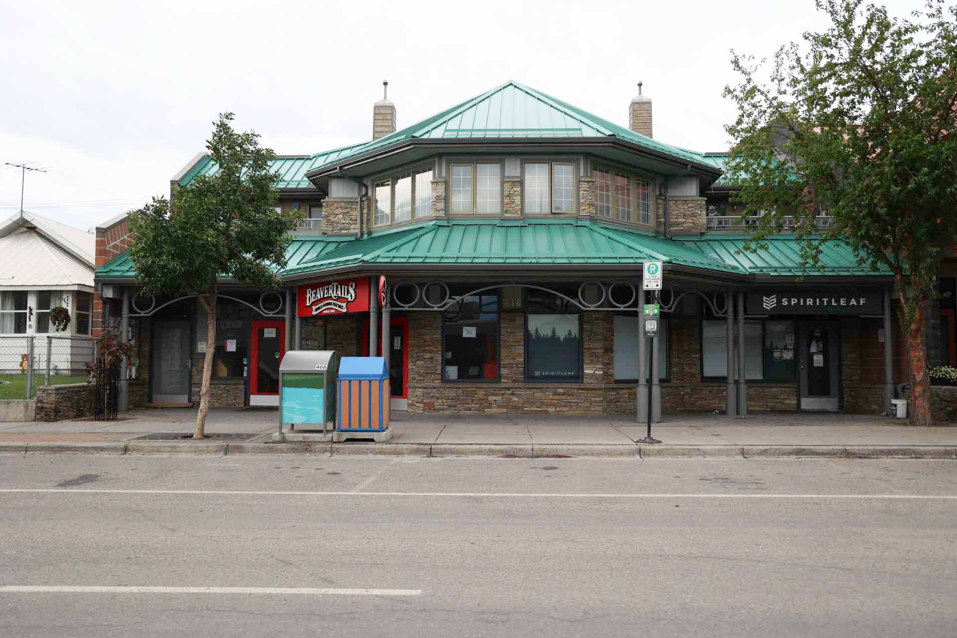
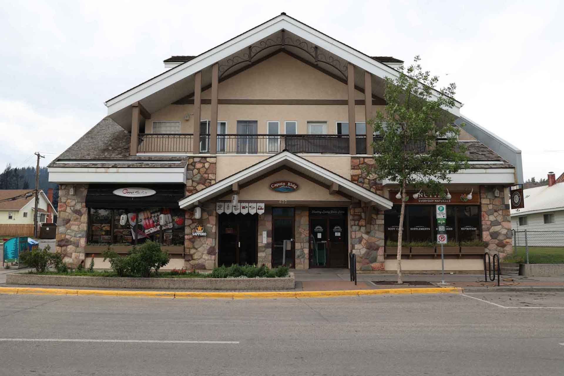
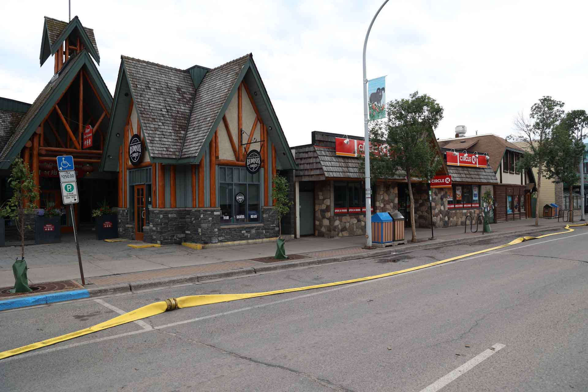
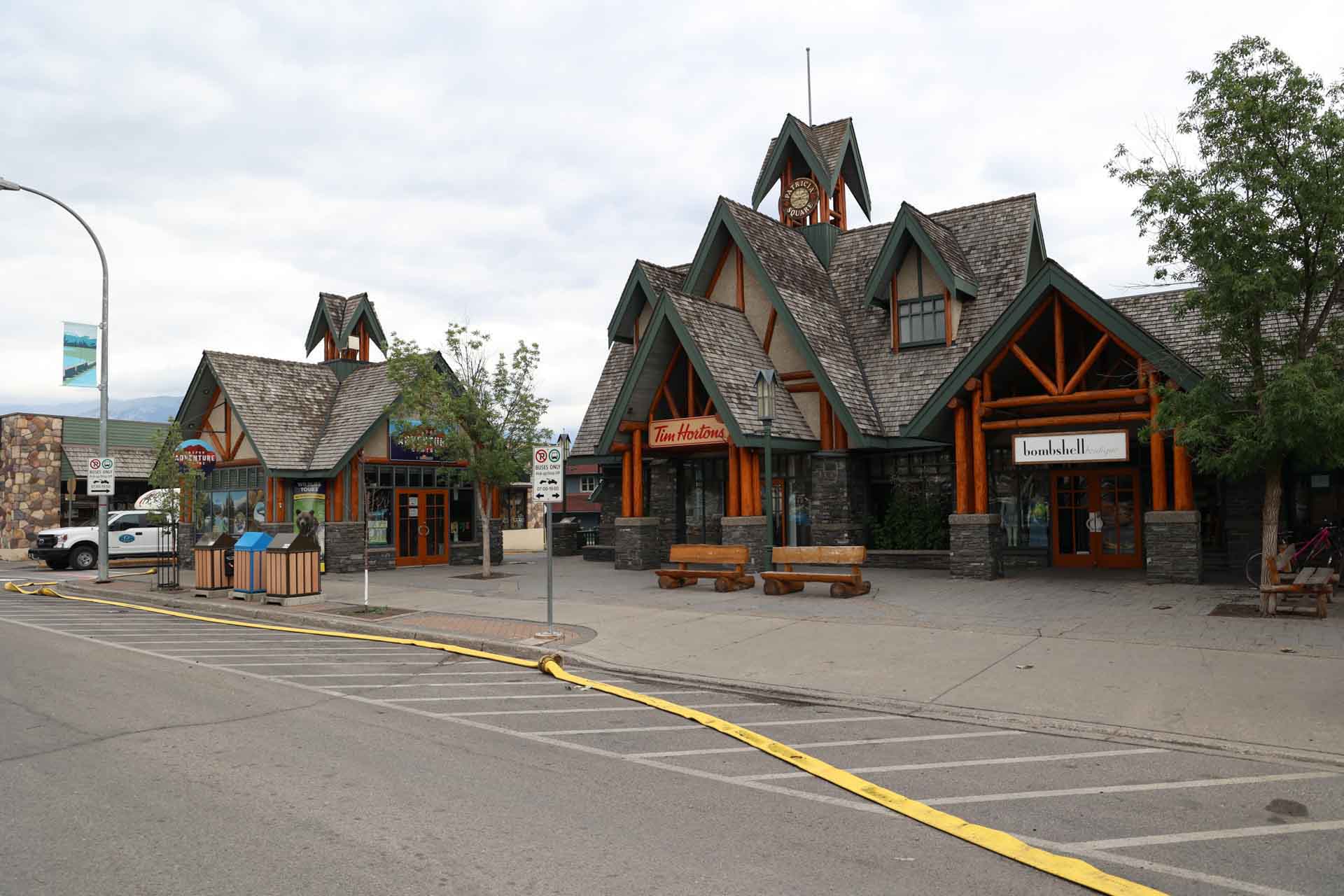
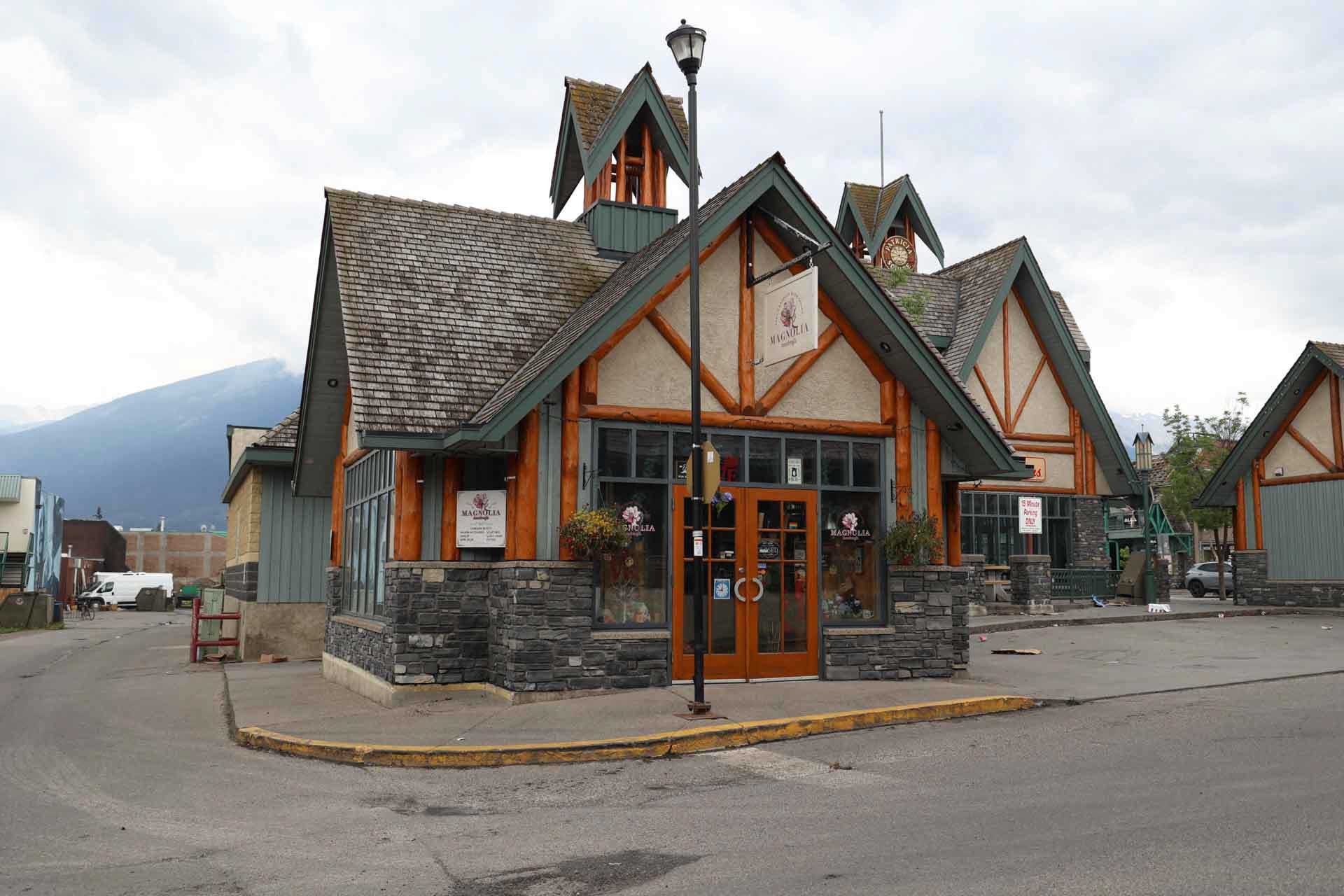
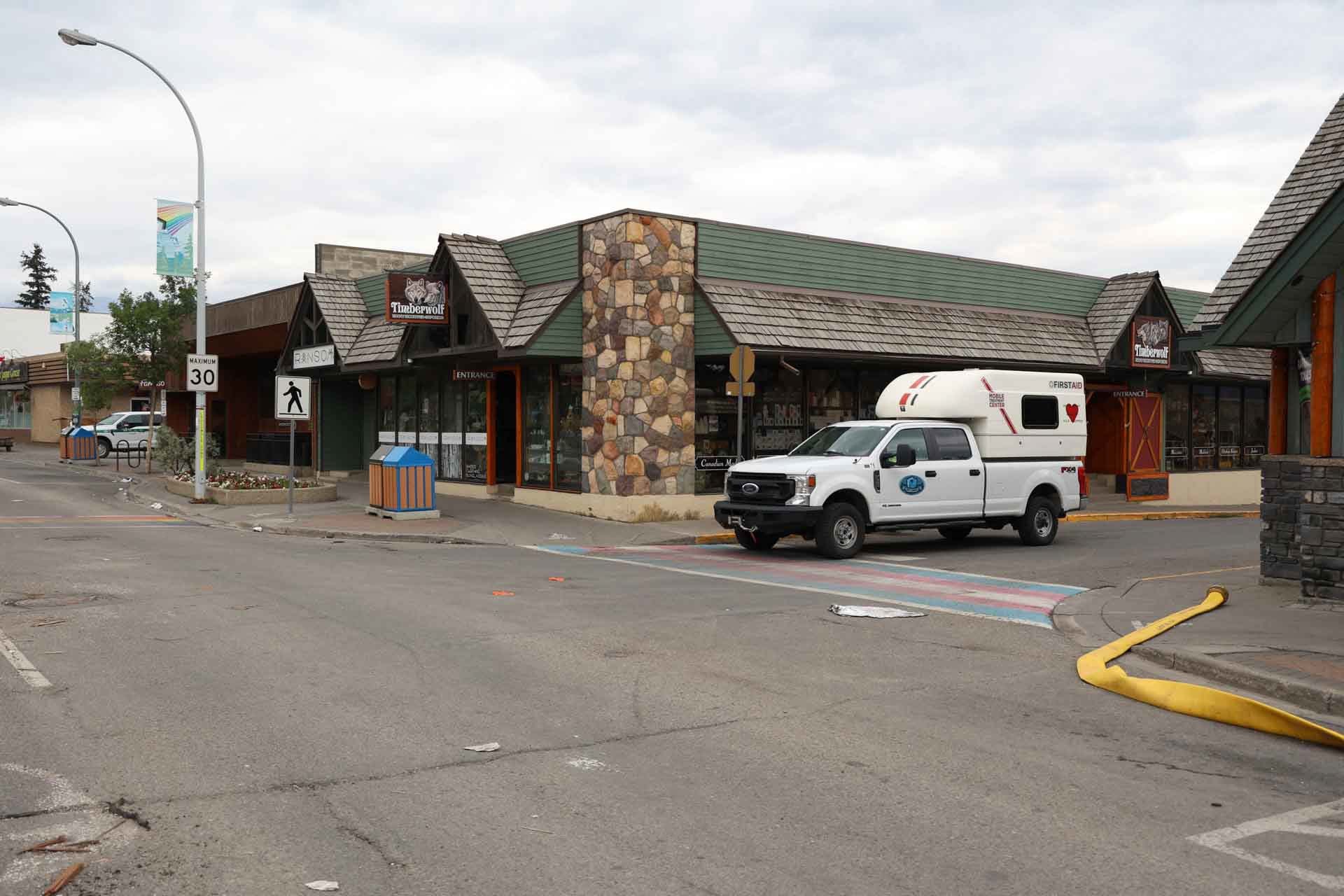
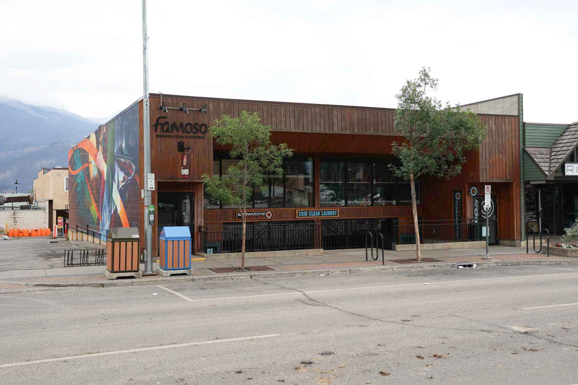
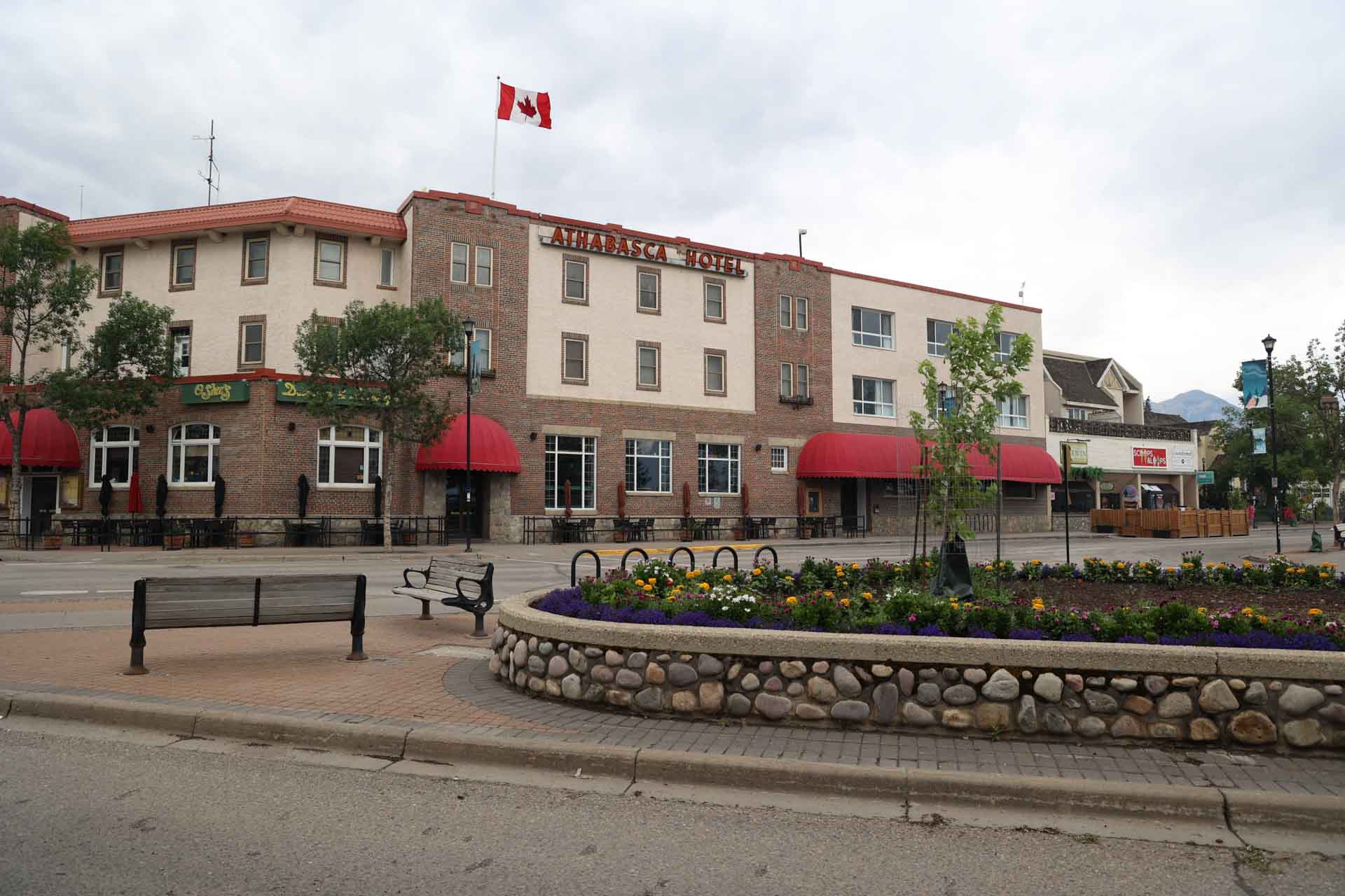
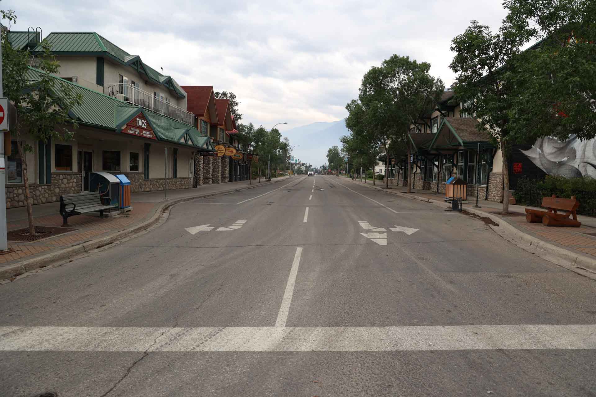
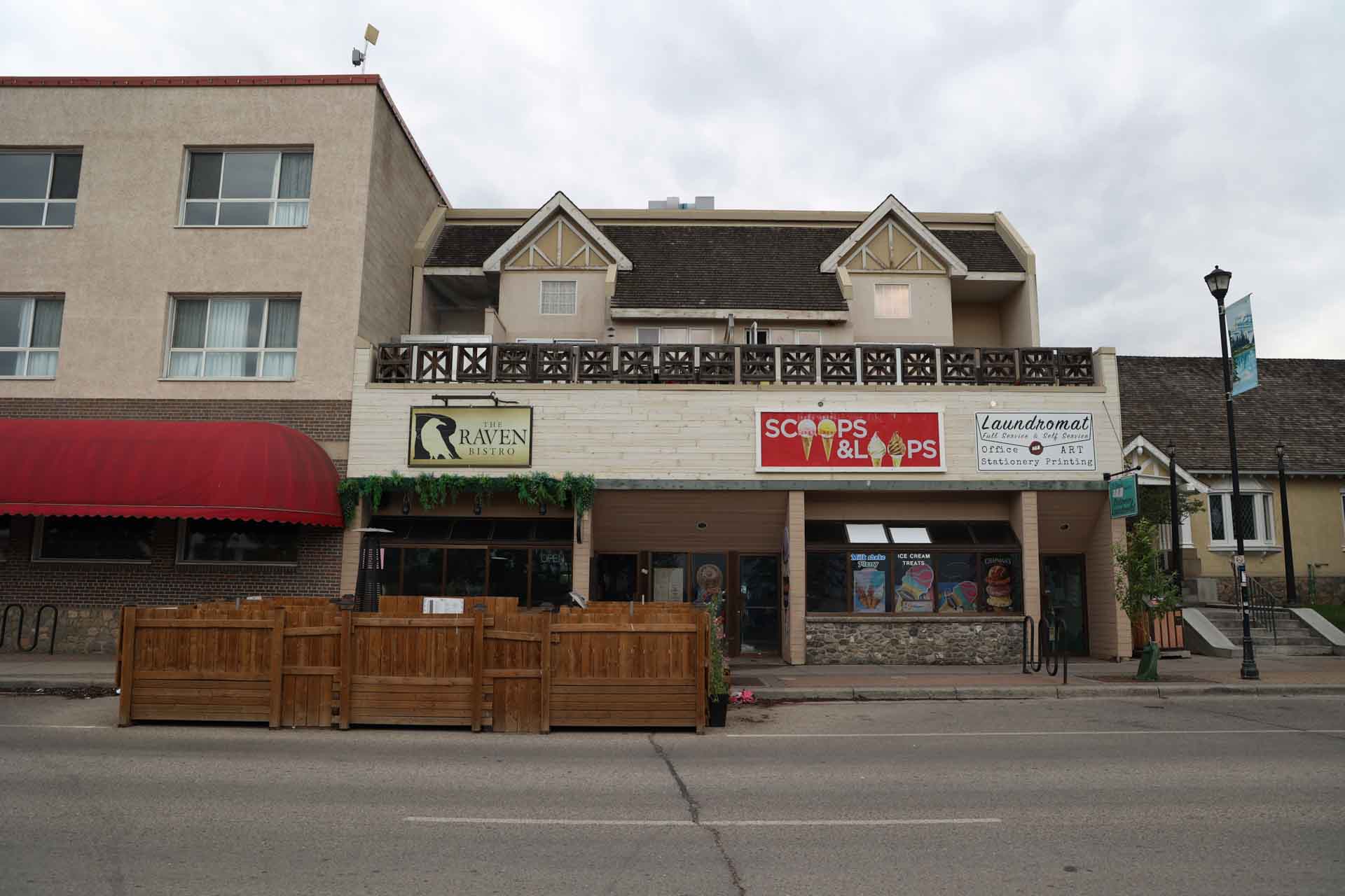
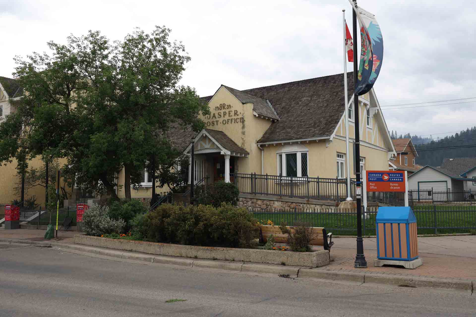
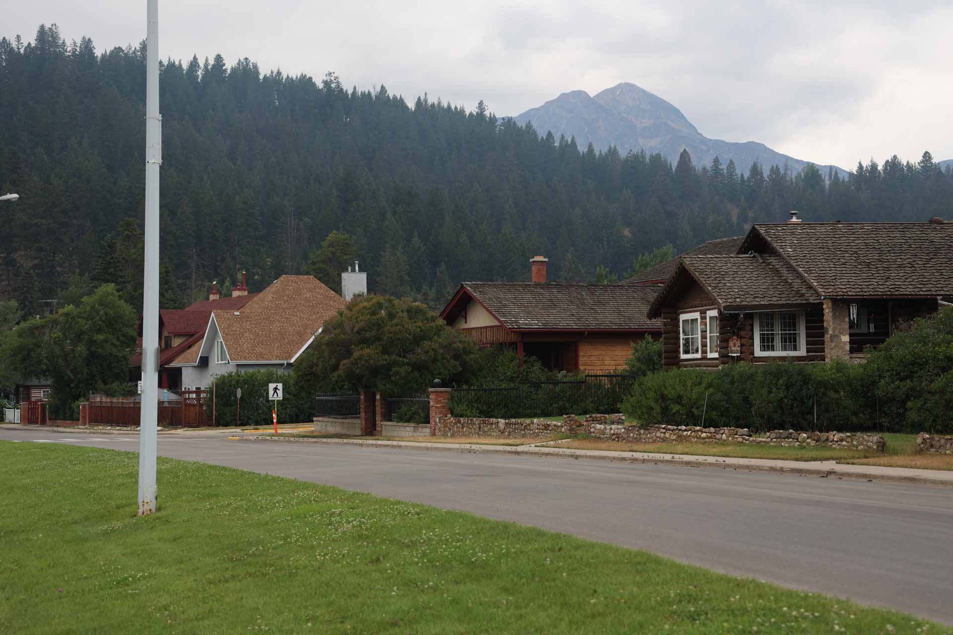
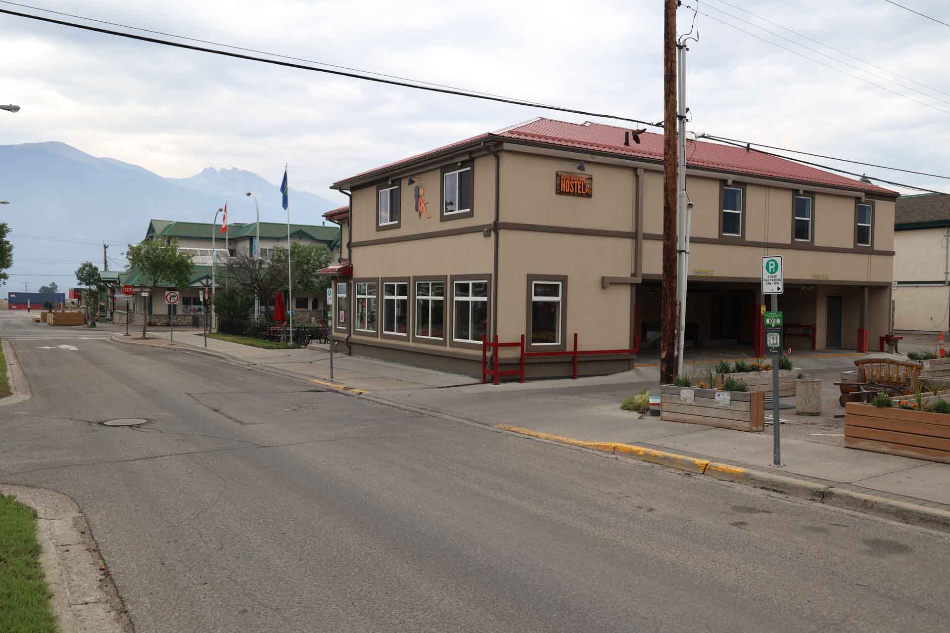
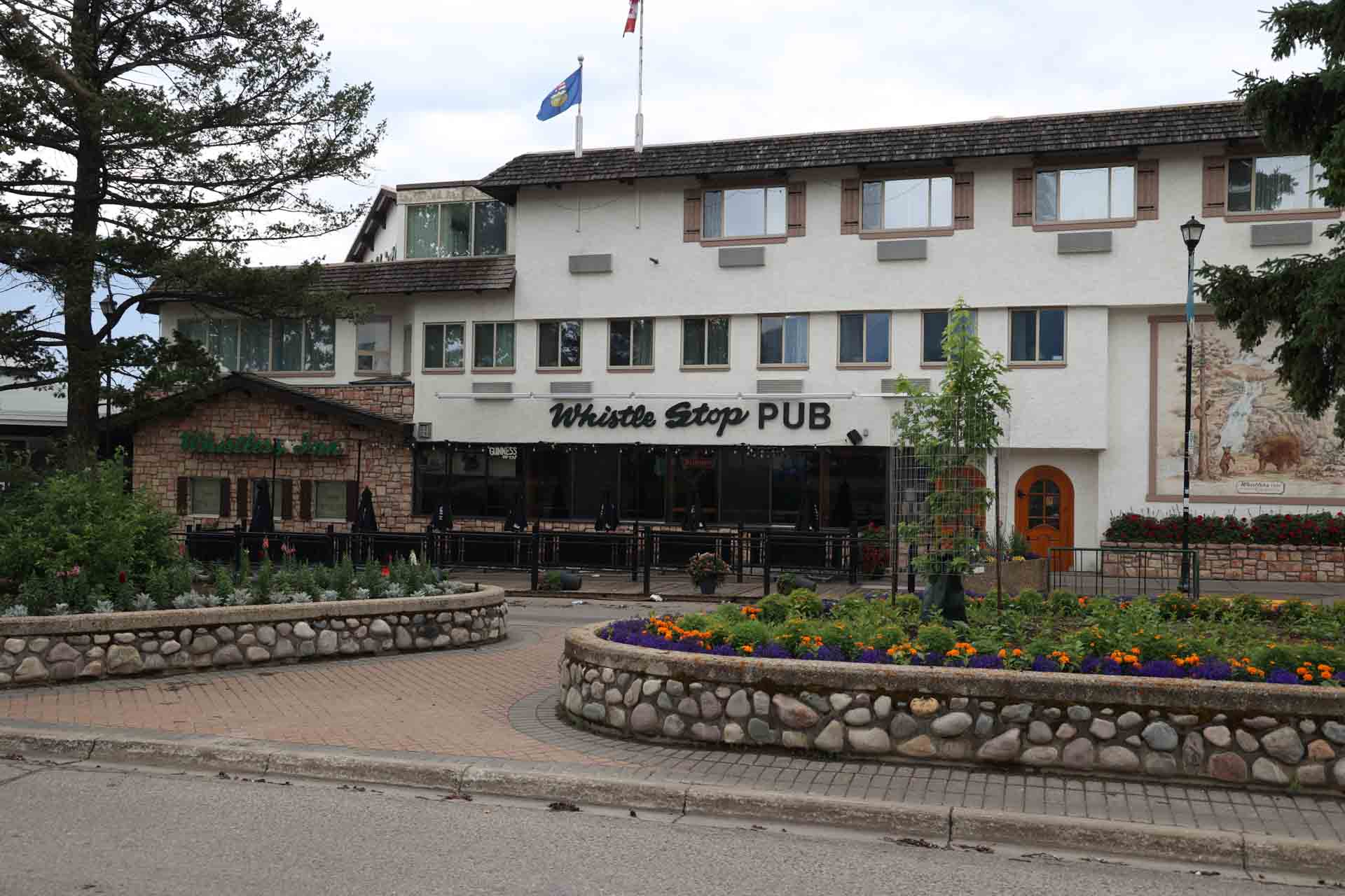
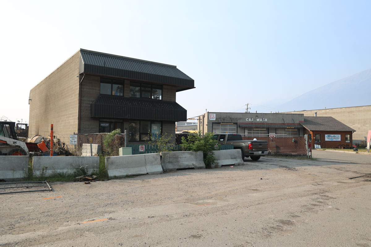
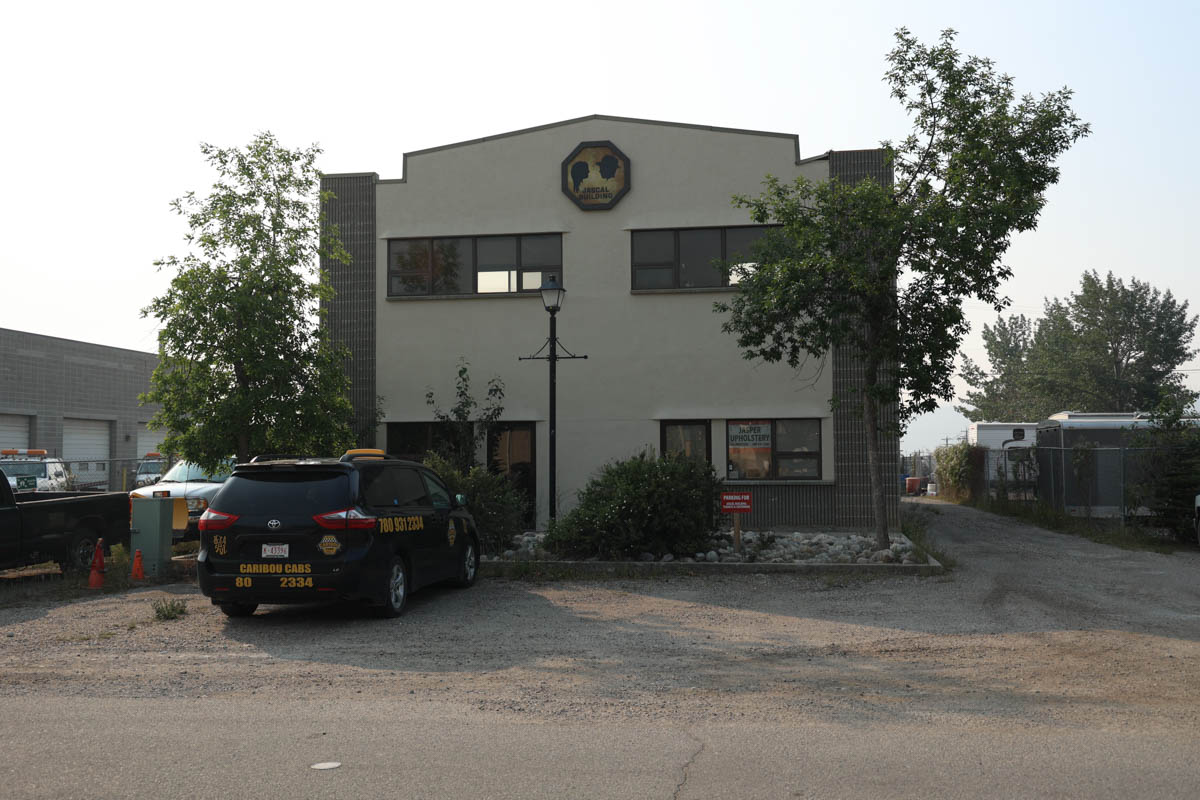
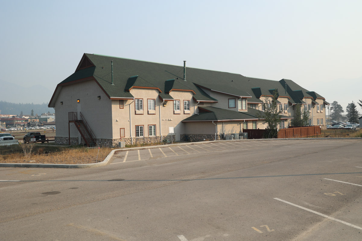
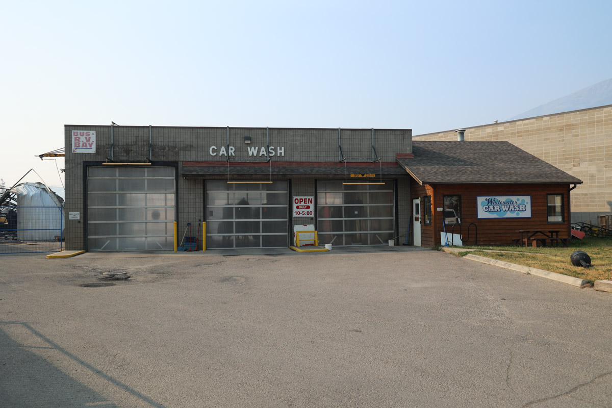
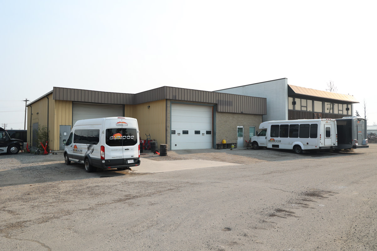
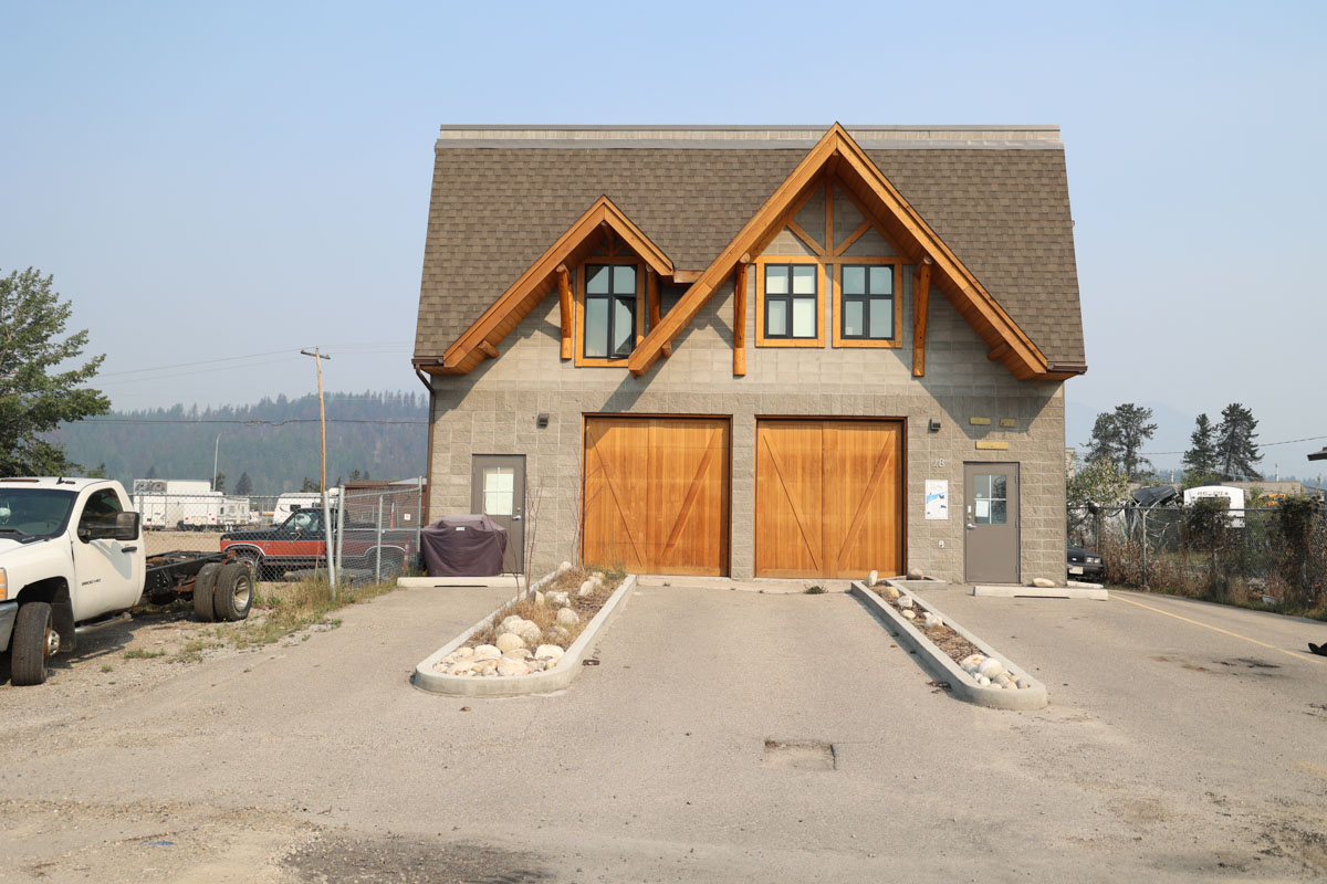
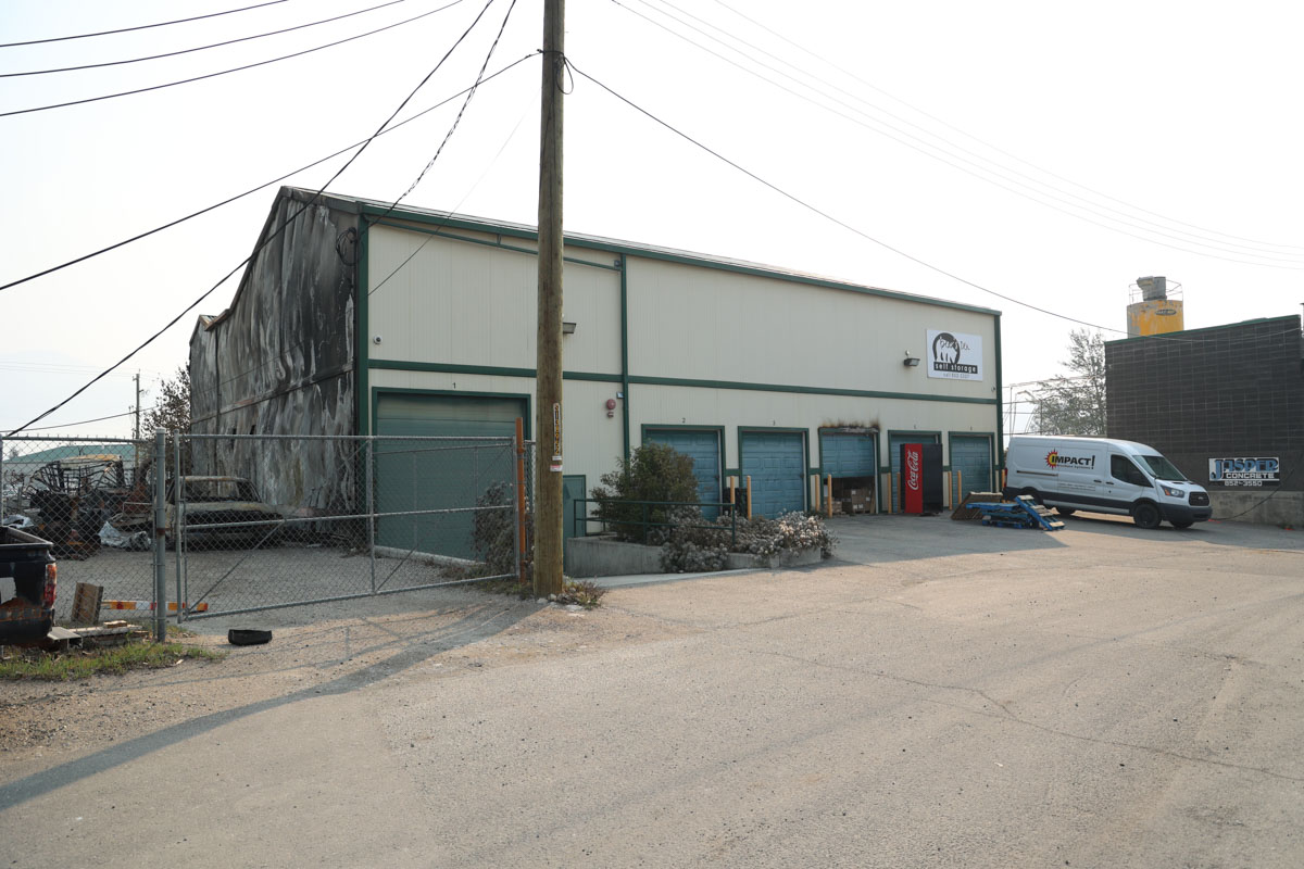
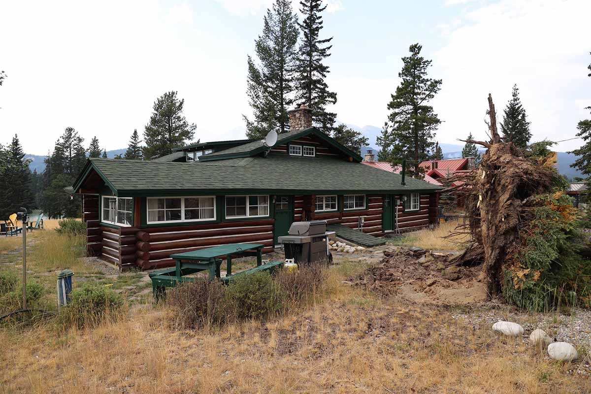
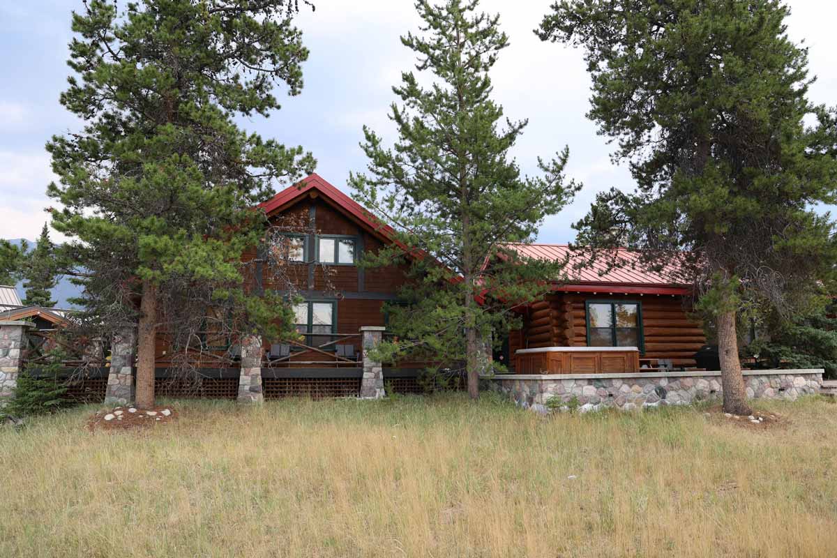
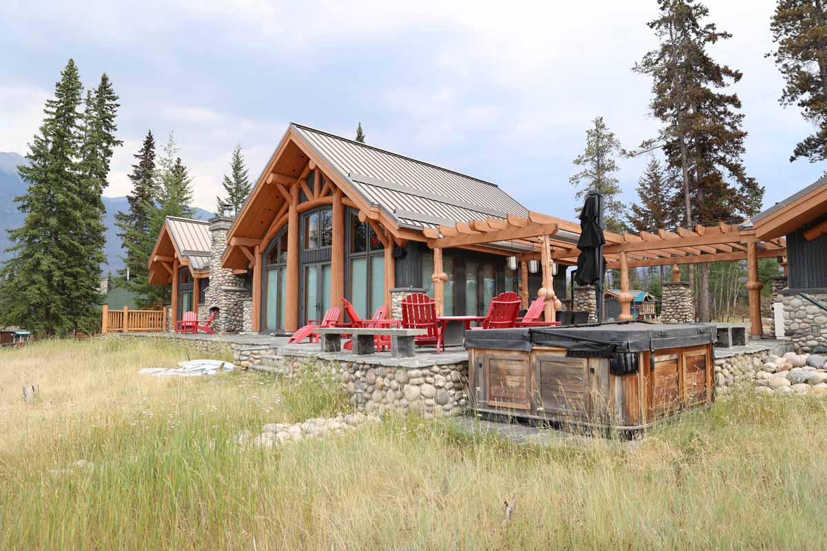
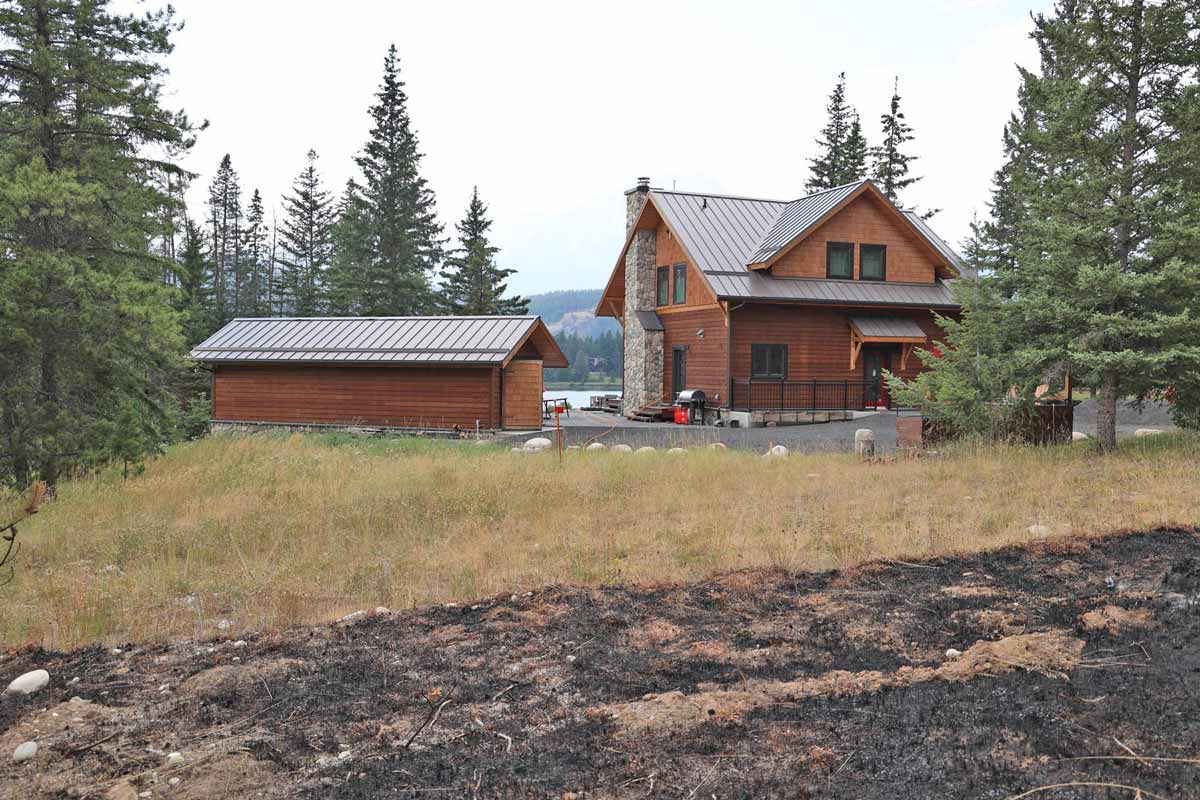
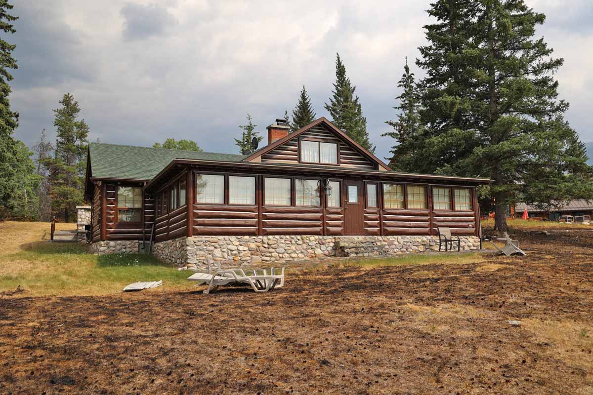
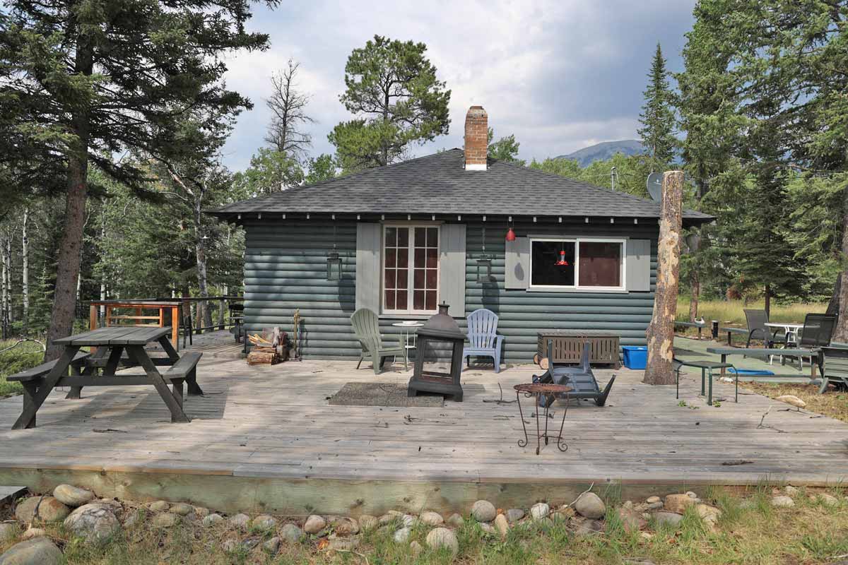
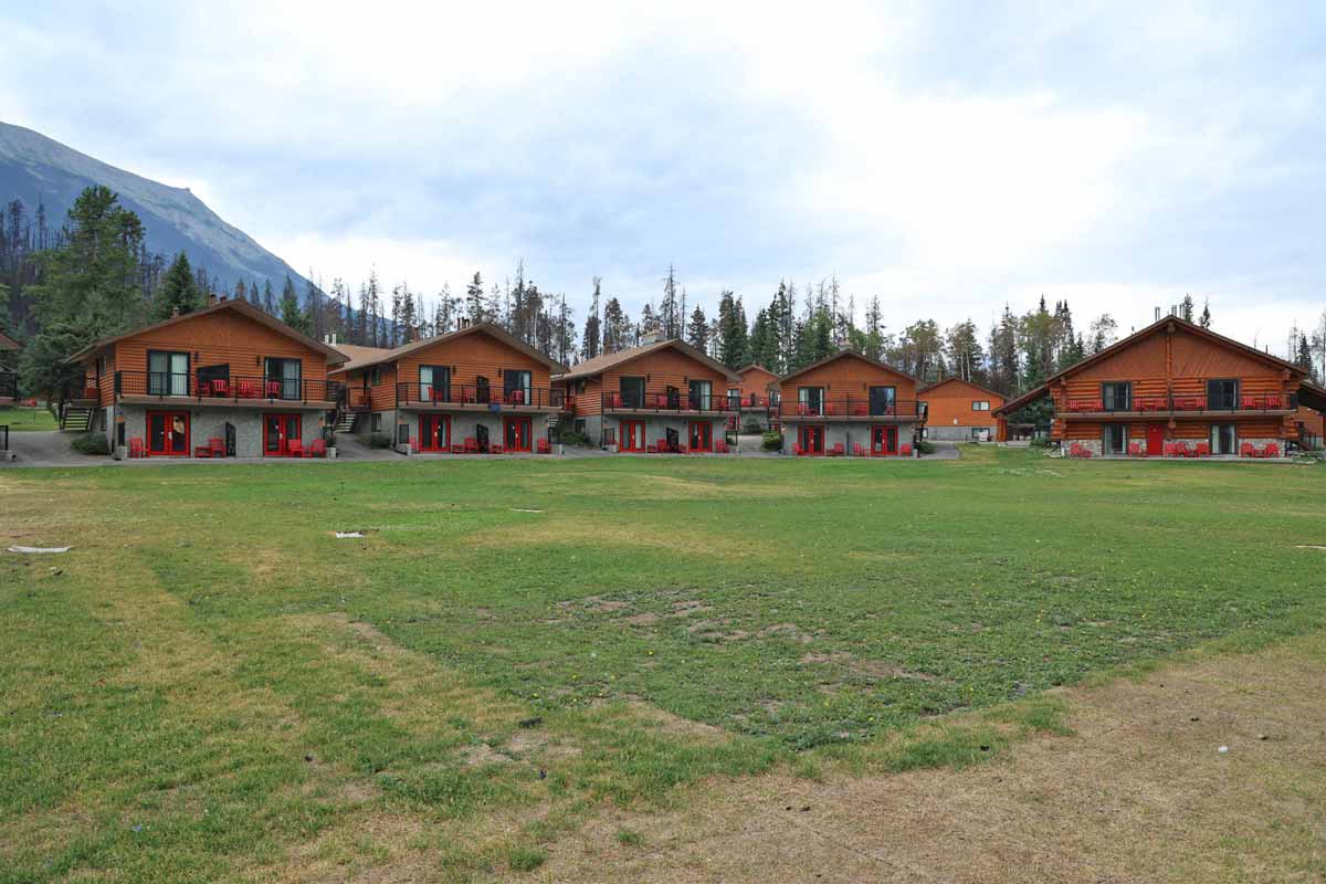
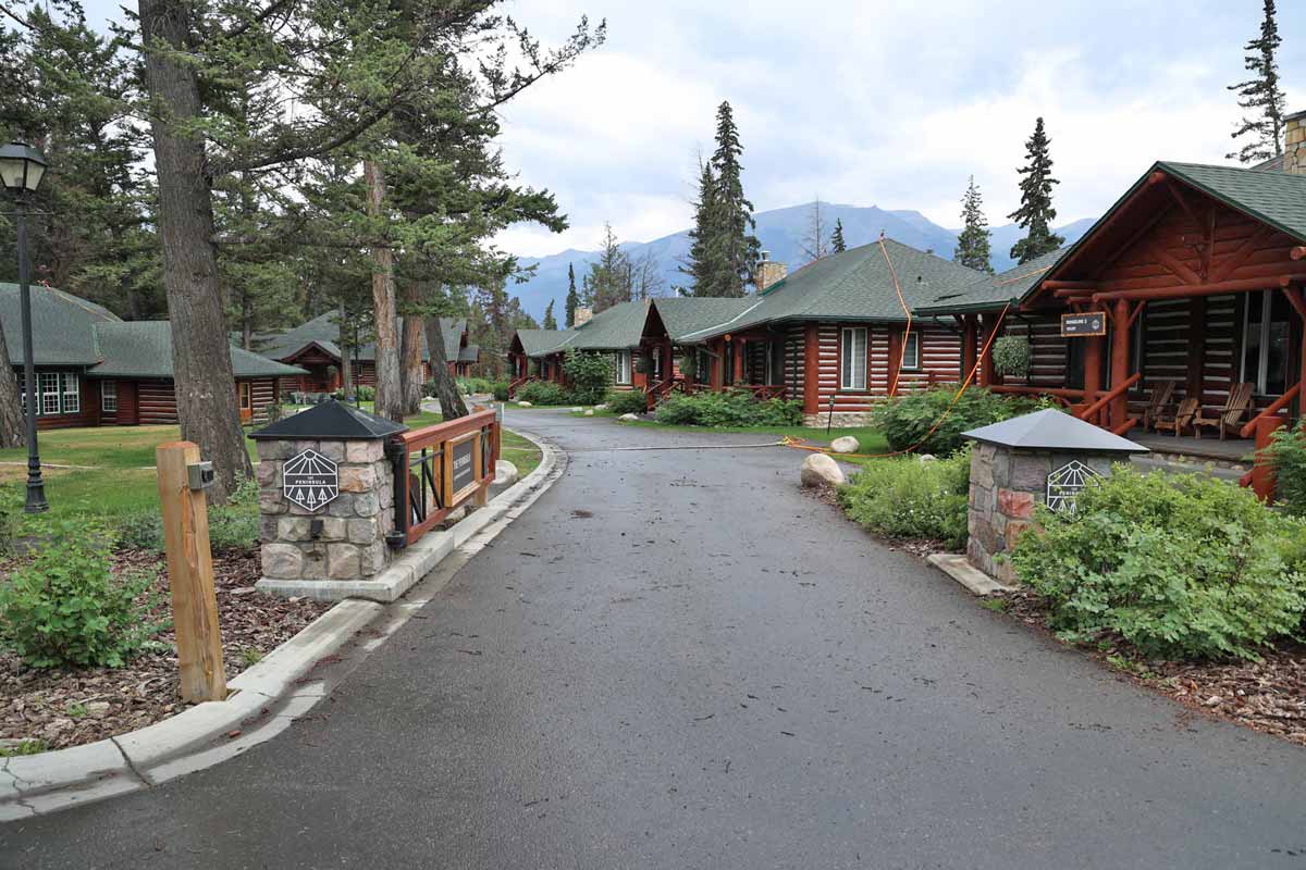
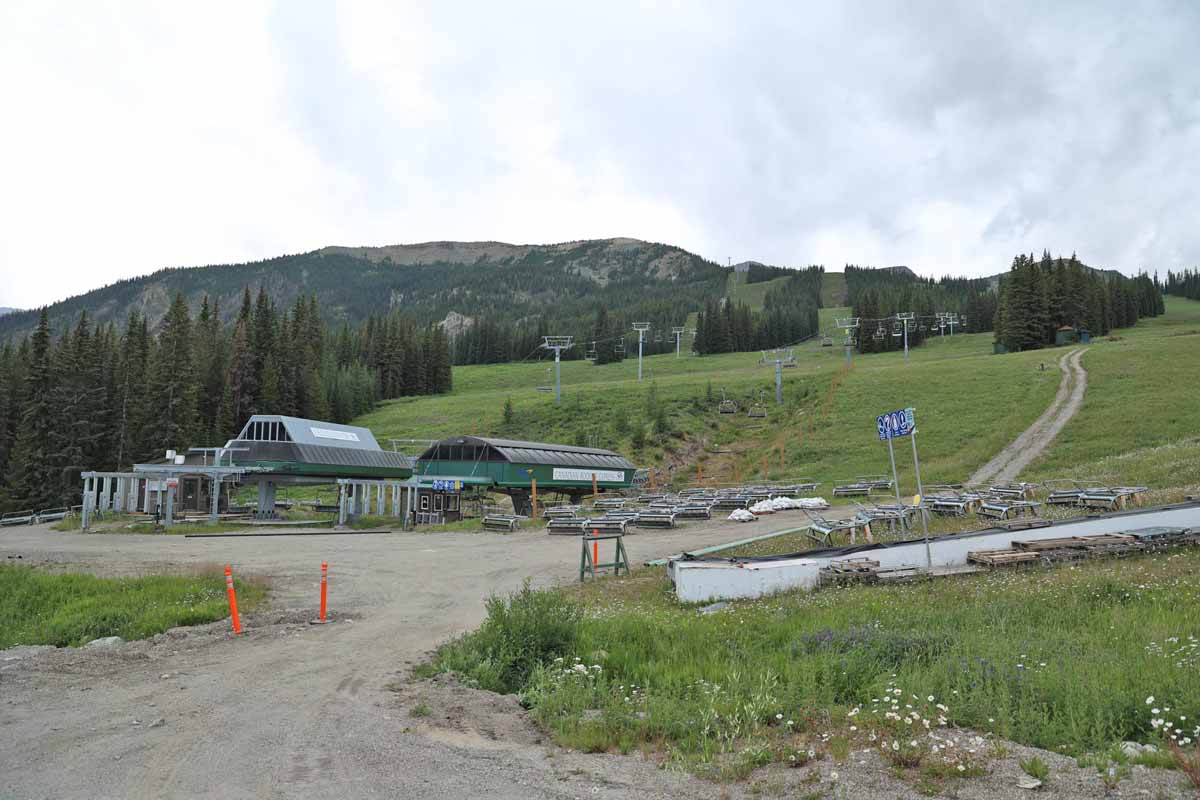
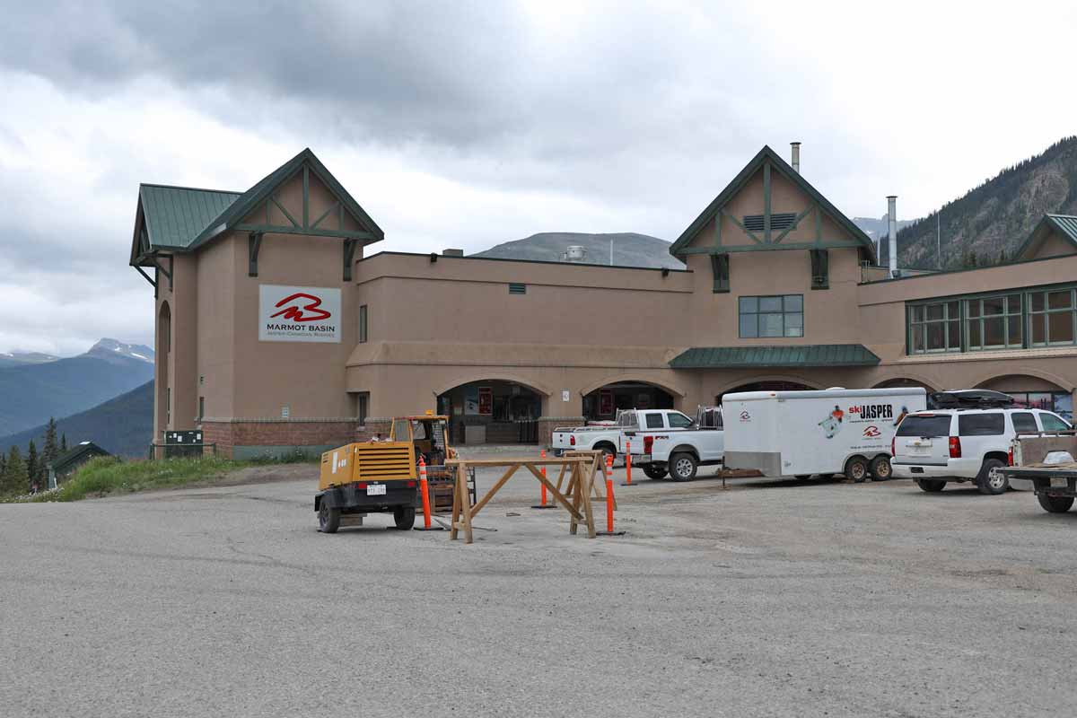
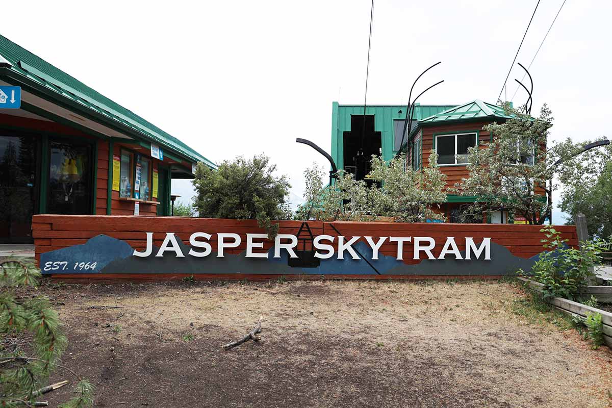
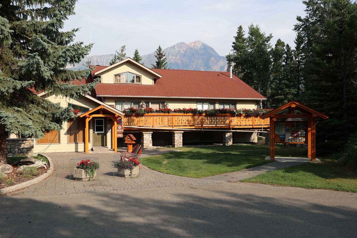
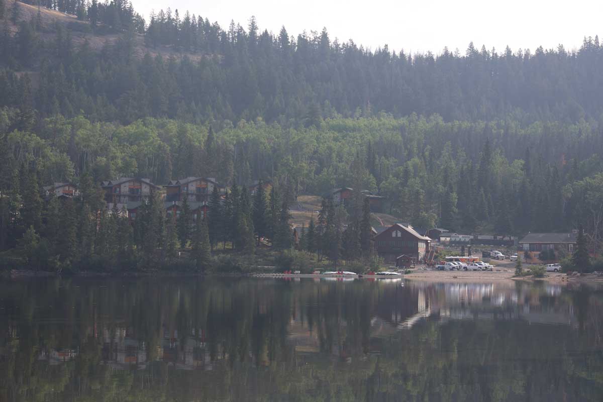
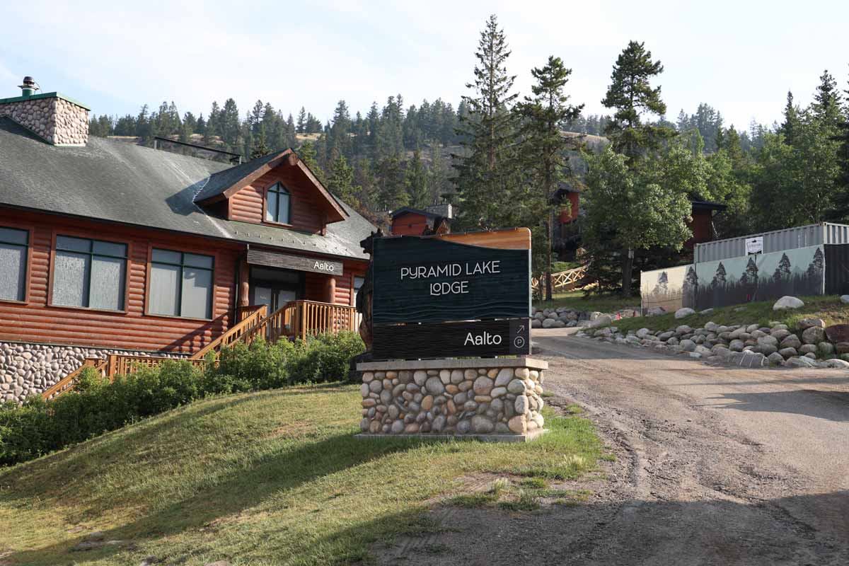
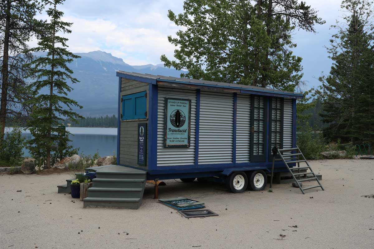
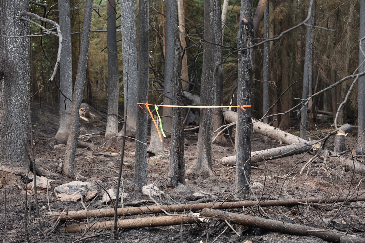
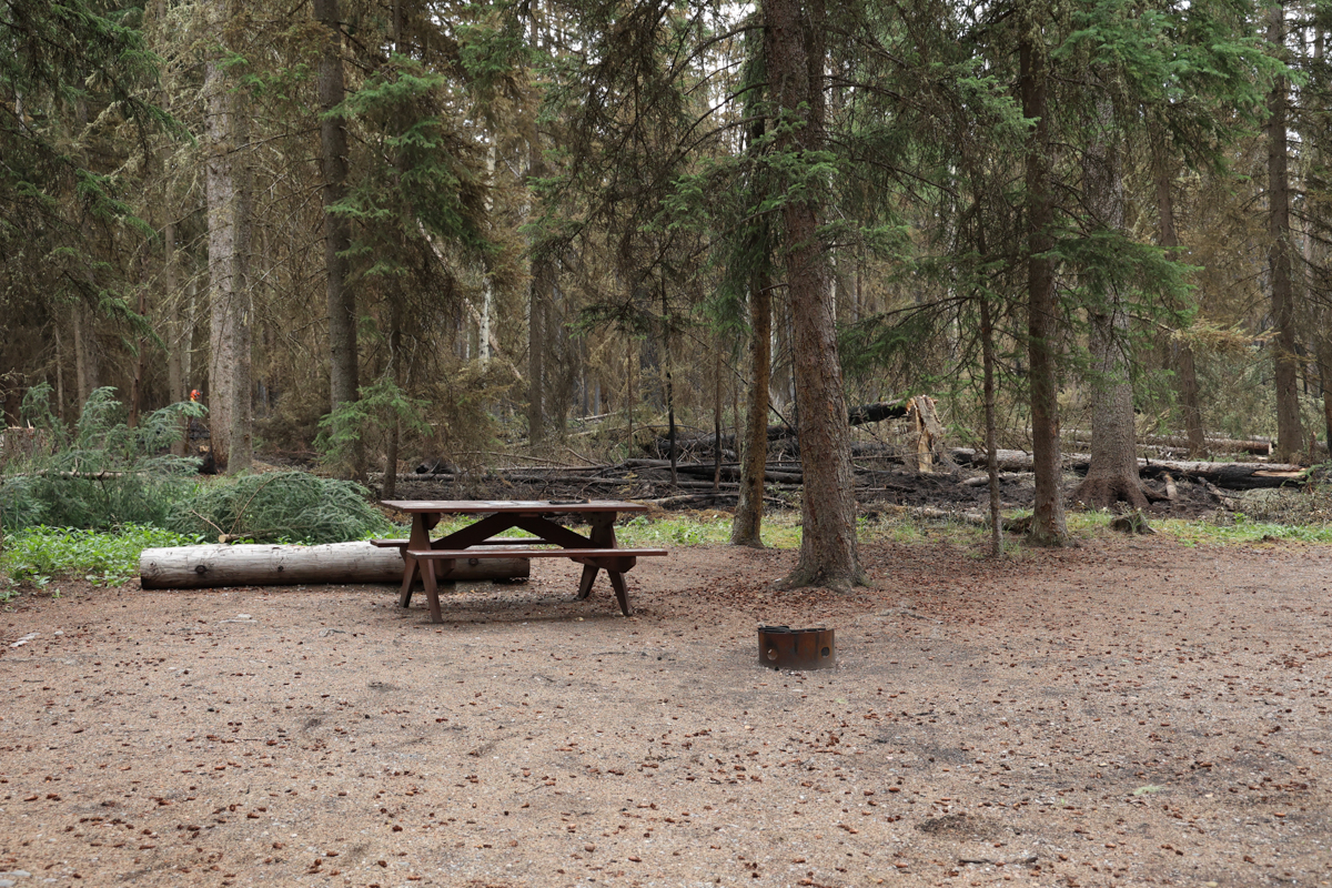
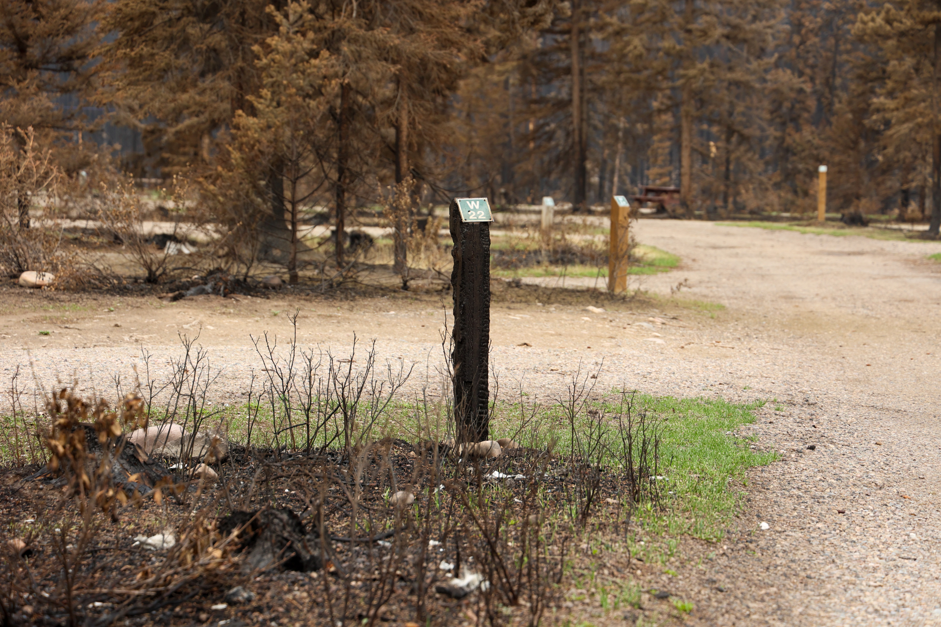
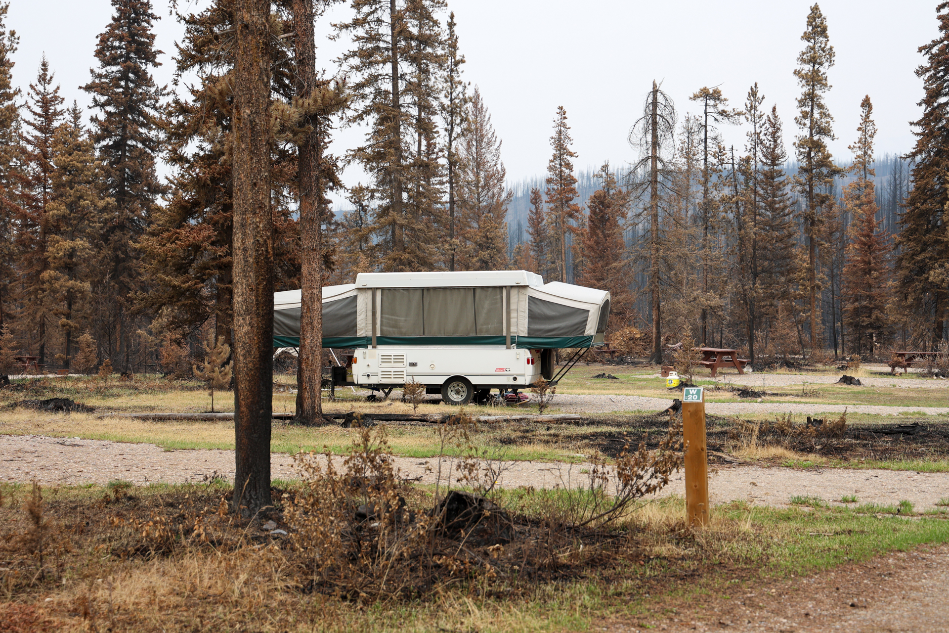
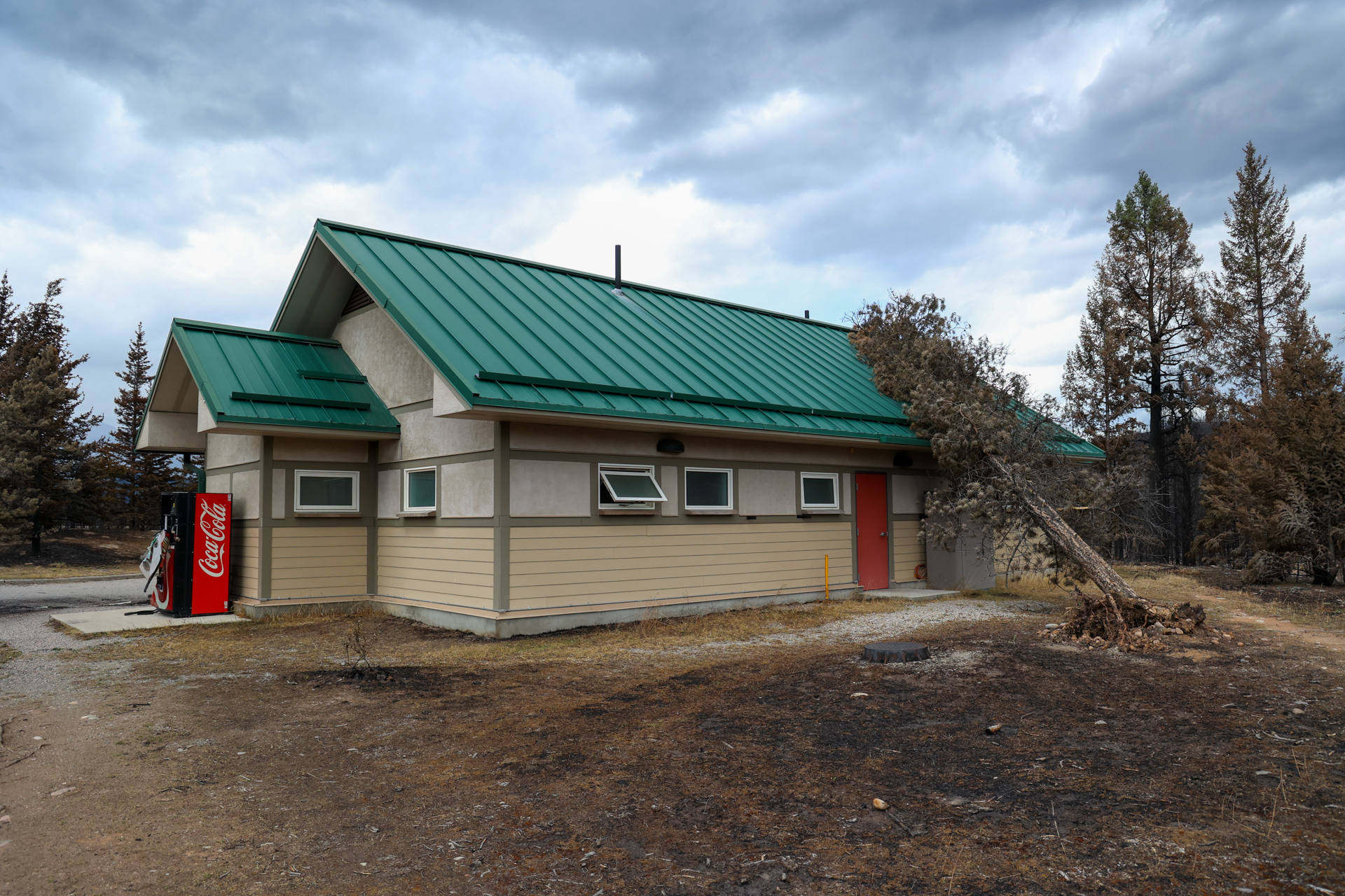
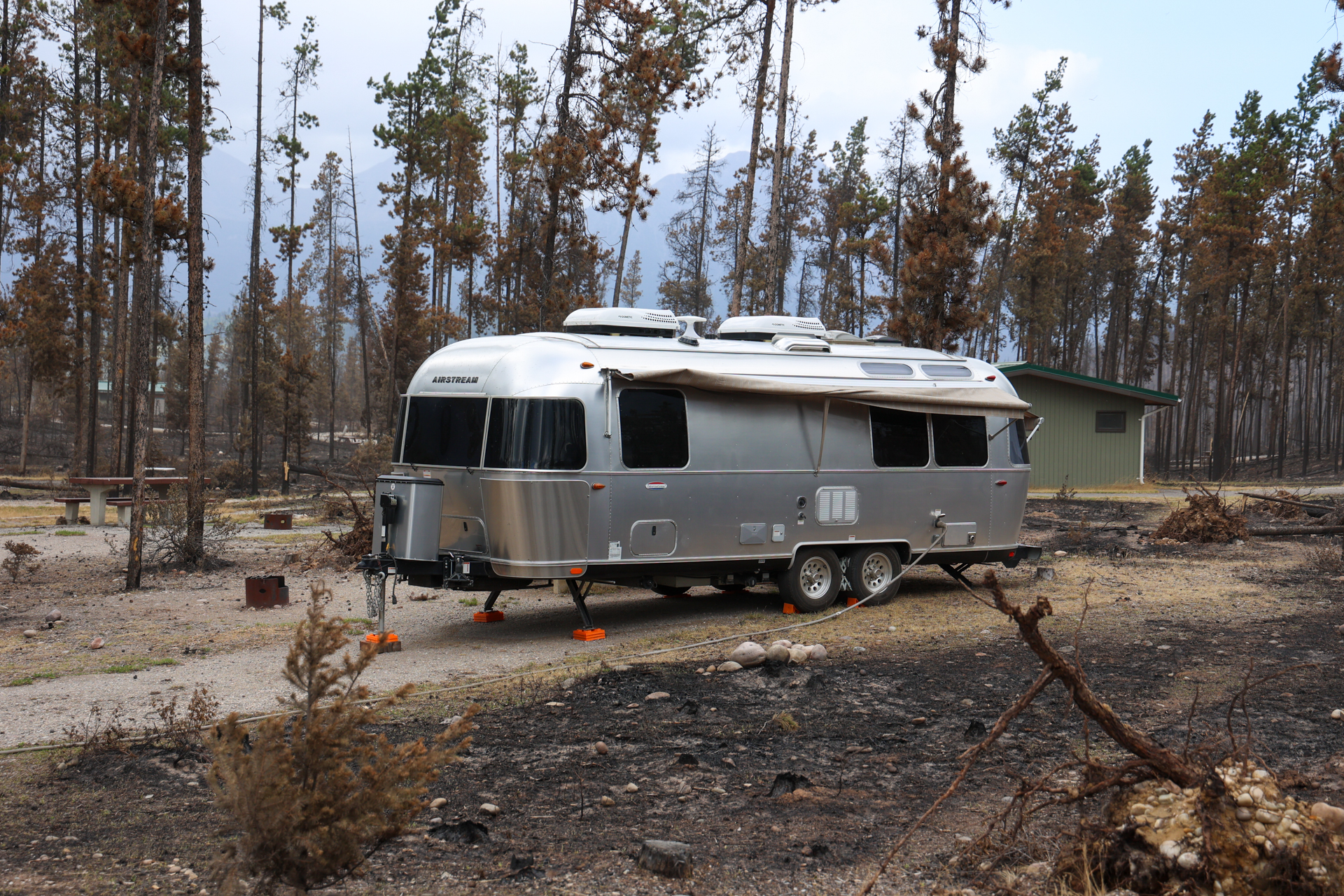
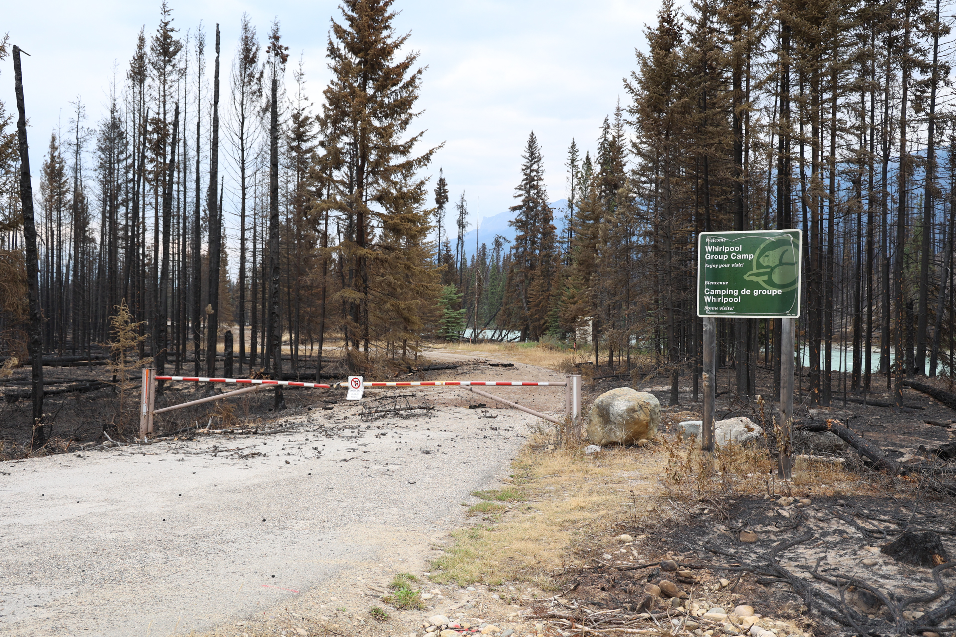
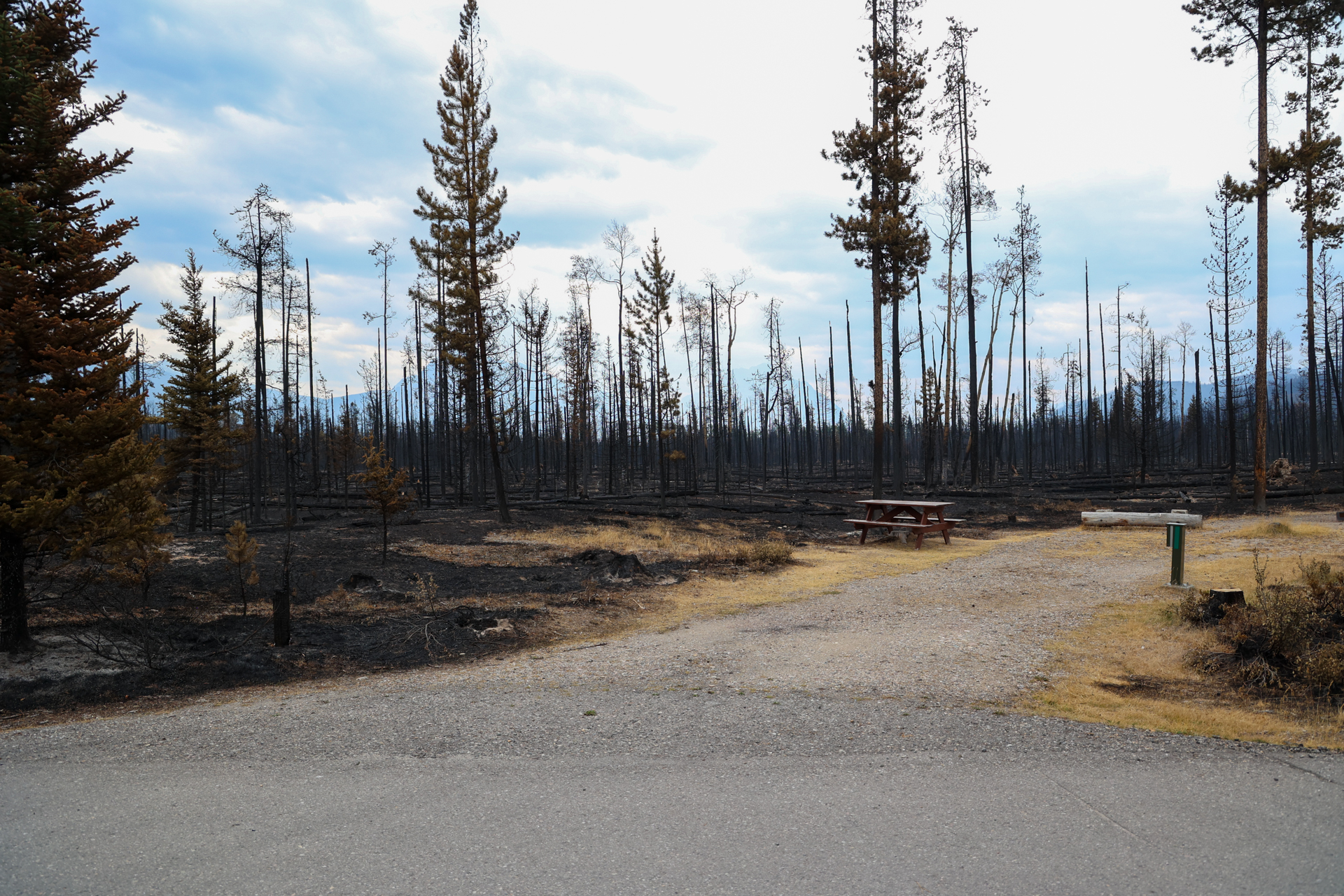
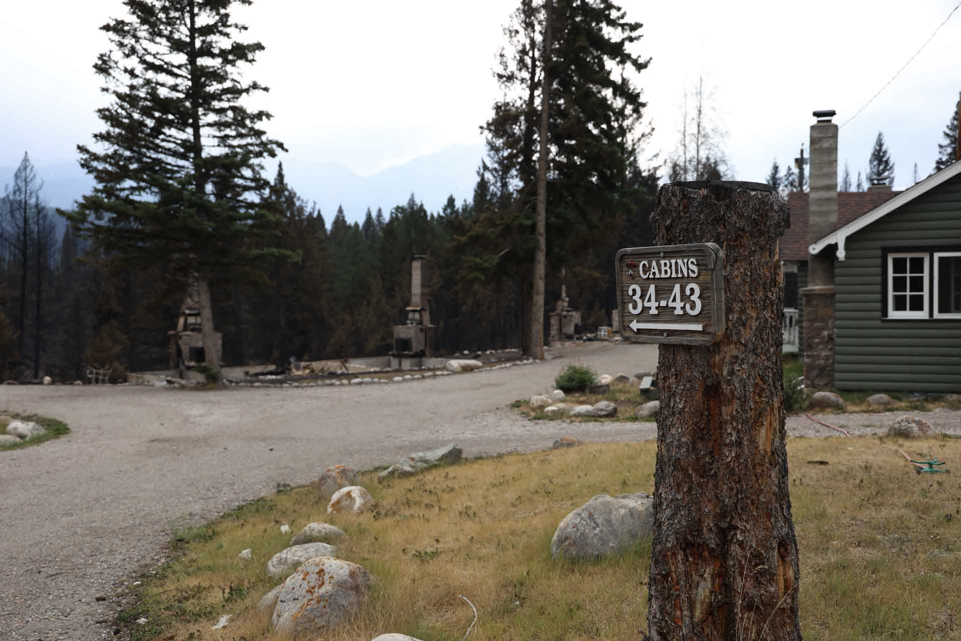
Remaining infrastructure
Not every property is pictured.
Parks Canada infrastructure
- August 7, 2024:
- August 5, 2024:
- July 31, 2024:
-
-
-
-
-
- July 29, 2024:
-

- July 27, 2024:
- July 27, 2024:
- July 26, 2024:
-
-
-
.jpg)


.jpg)
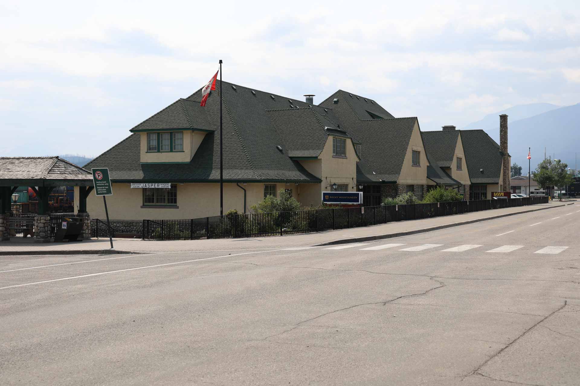
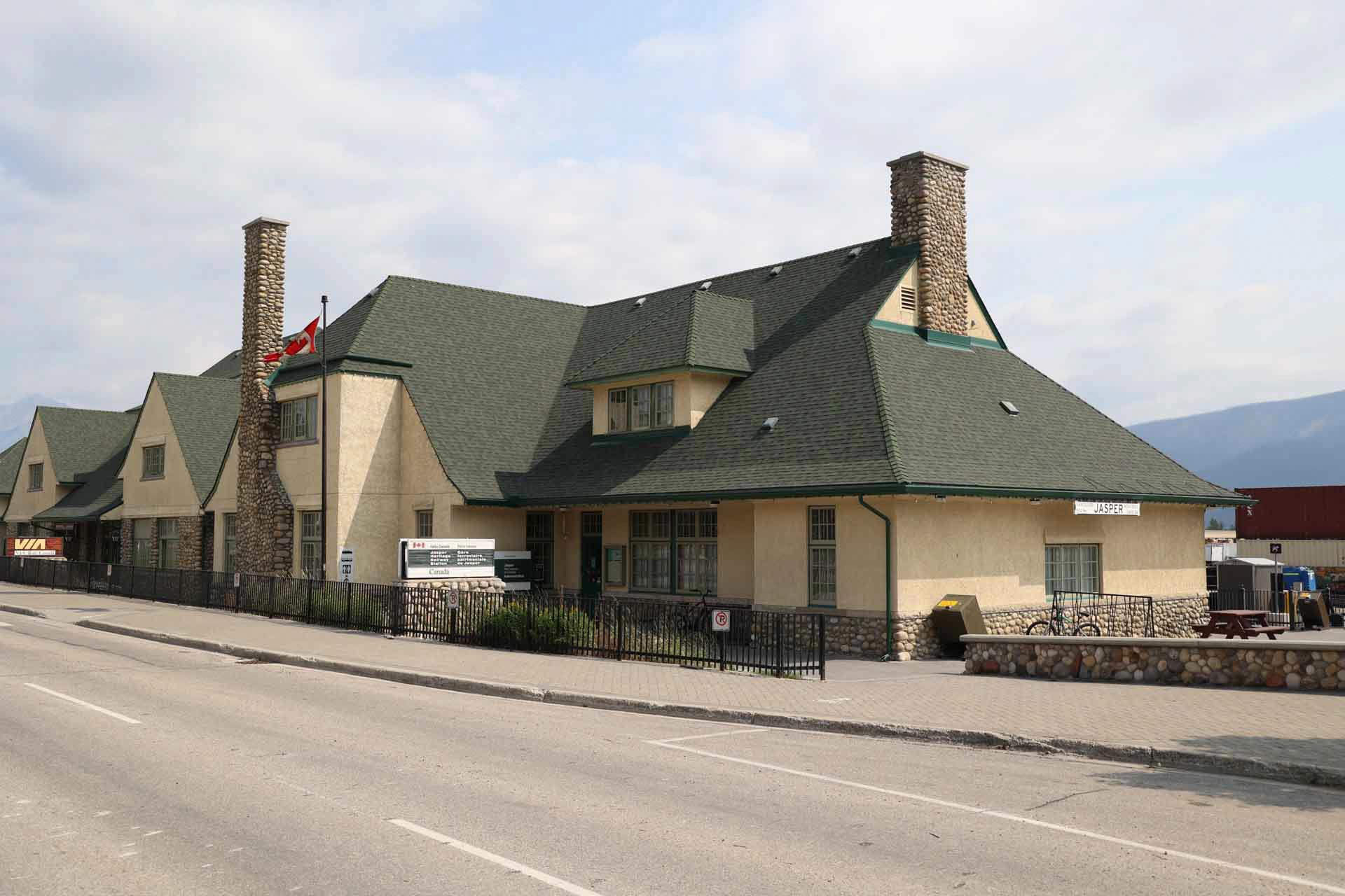
Inside of town
- August 4, 2024:
- July 31, 2024:
- July 27, 2024:

.jpg)
- July 26, 2024:
-
-
.jpg)
-
-

-
-
-
.jpg)
-
.jpg)
-
.jpg)
-
-
-
.jpg)
-
-
-
.jpg)
-
-
.jpg)
-
-
-
-

-
-
.jpg)
-
.jpg)
-
-
-
-
.jpg)
-
-


.jpg)


.jpg)


.jpg)
.jpg)
.jpg)


.jpg)


.jpg)

.jpg)


.jpg)
.jpg)


.jpg)


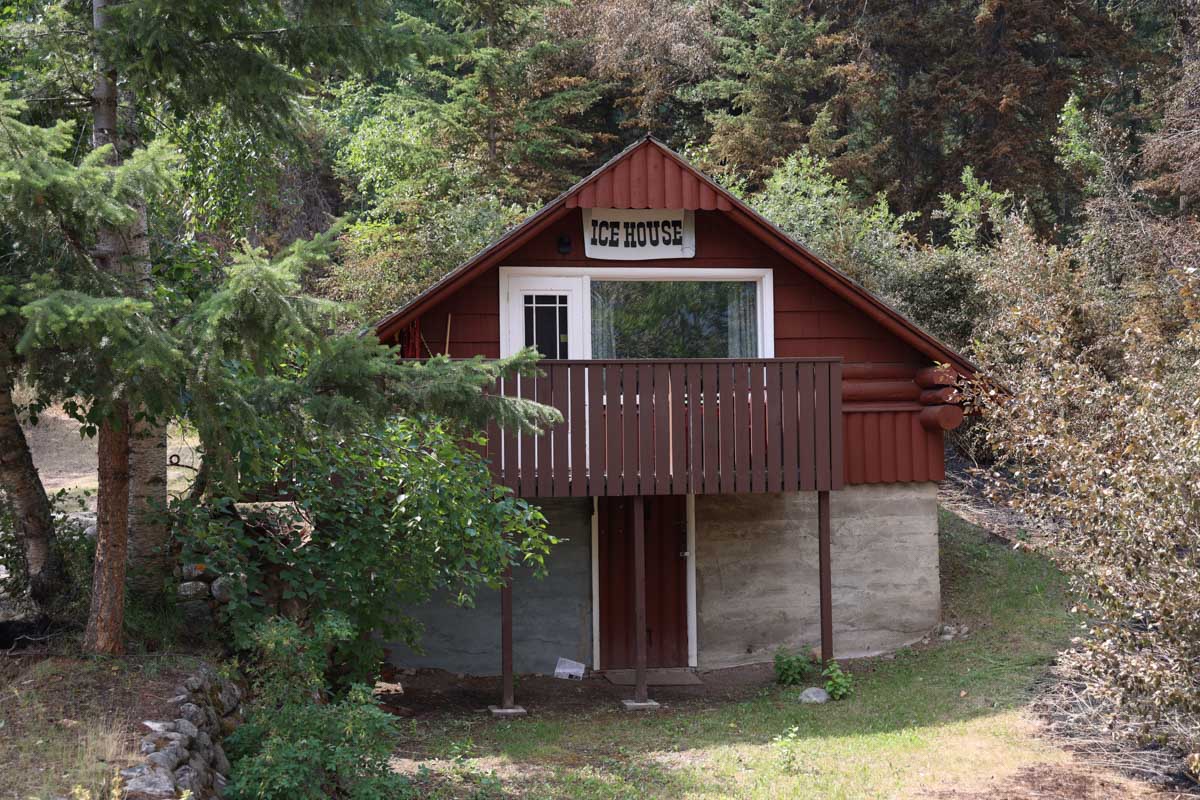
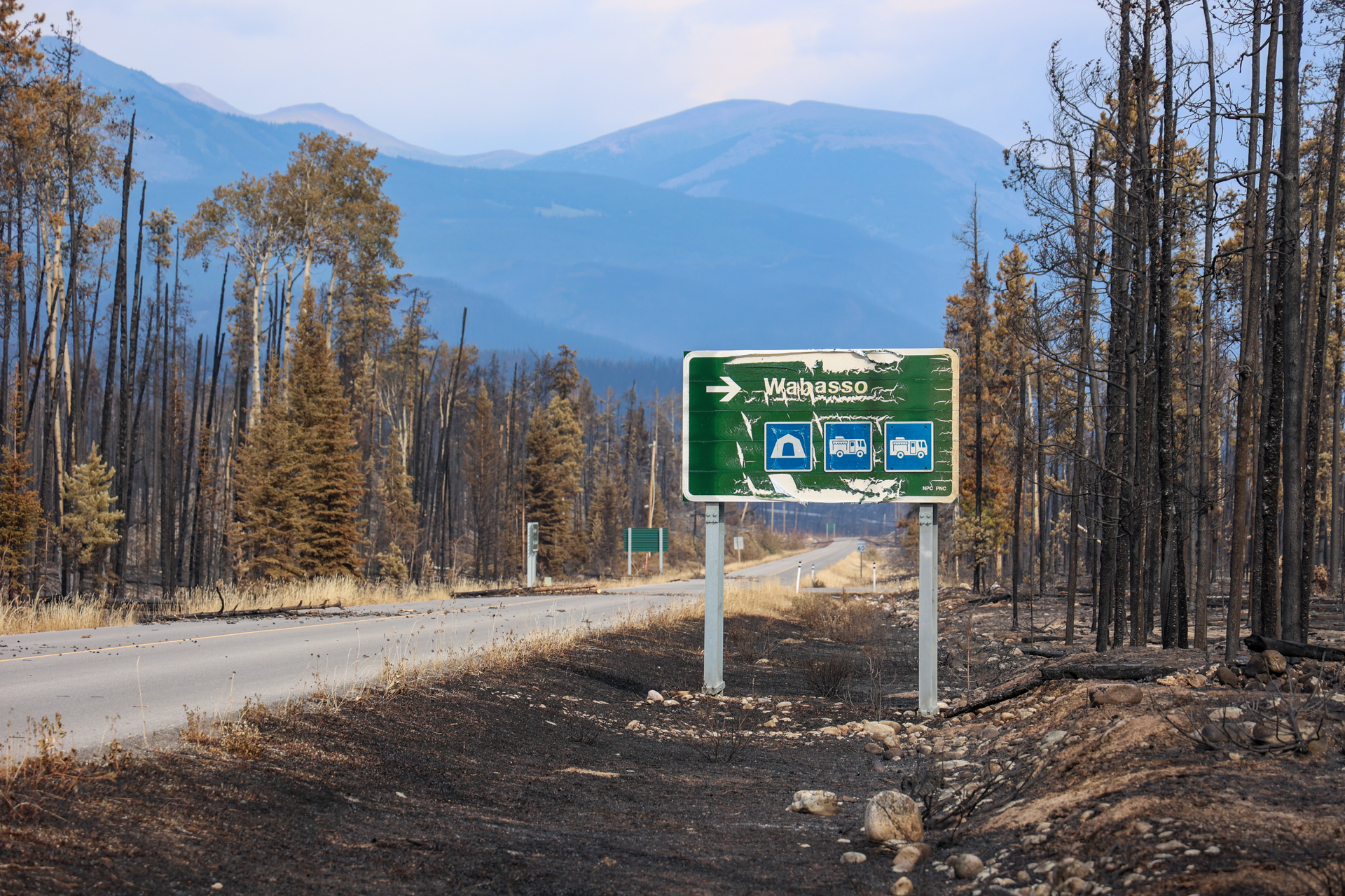
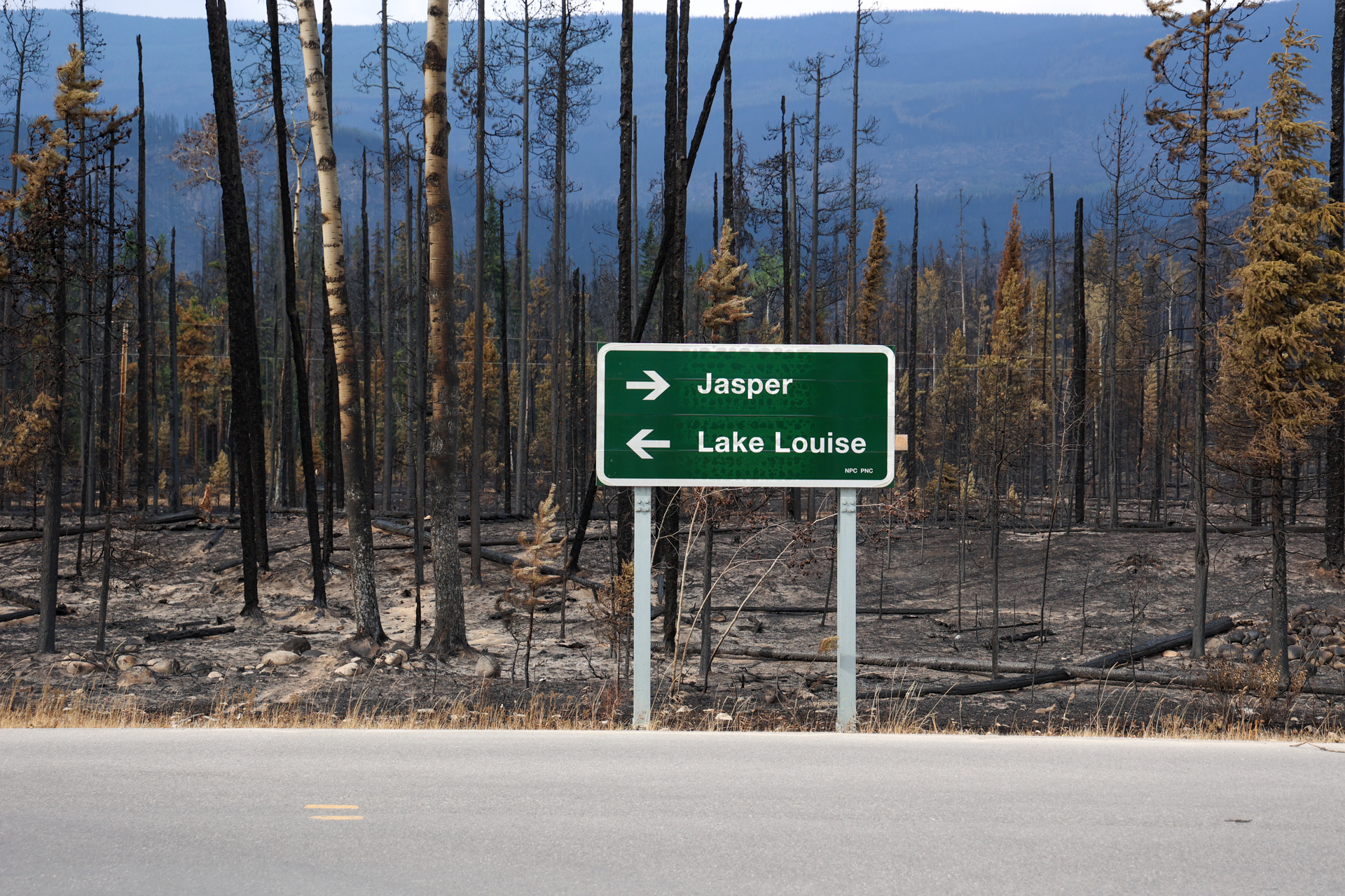
Outside of town
- August 4, 2024:
- July 28, 2024:
.jpg)
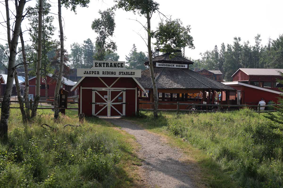
- July 27, 2024:


.jpg)


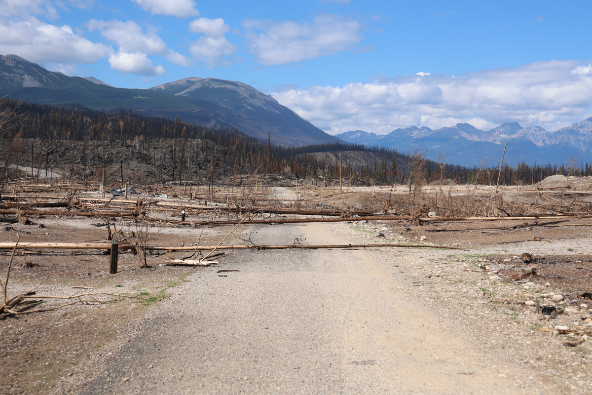
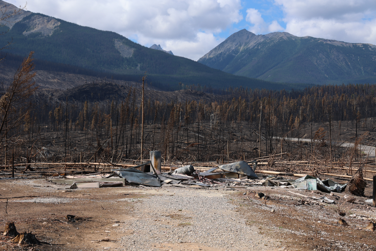
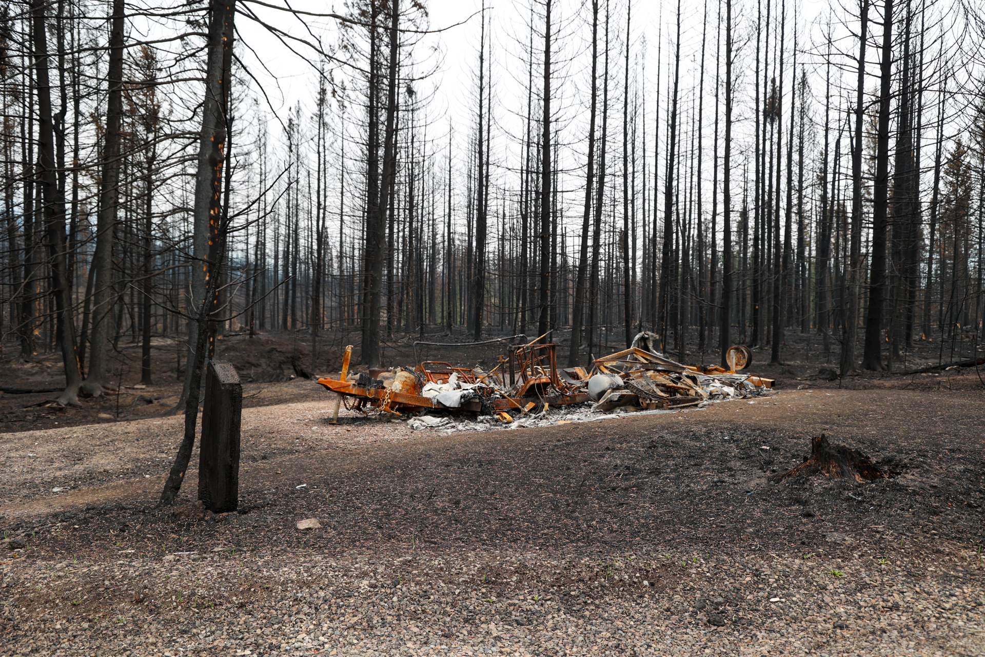
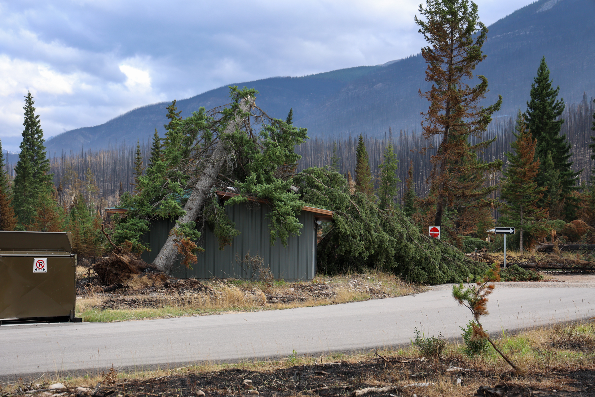
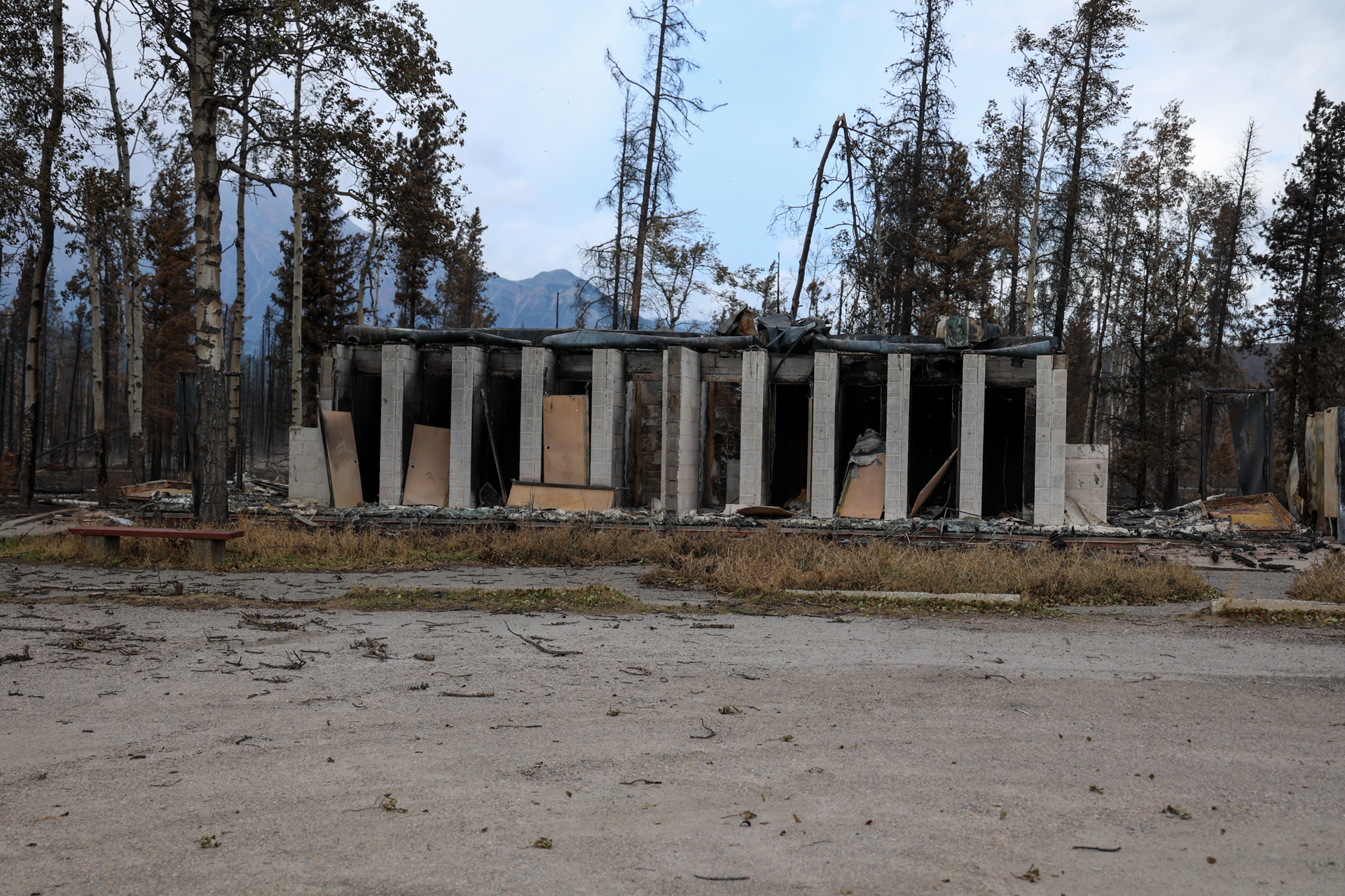
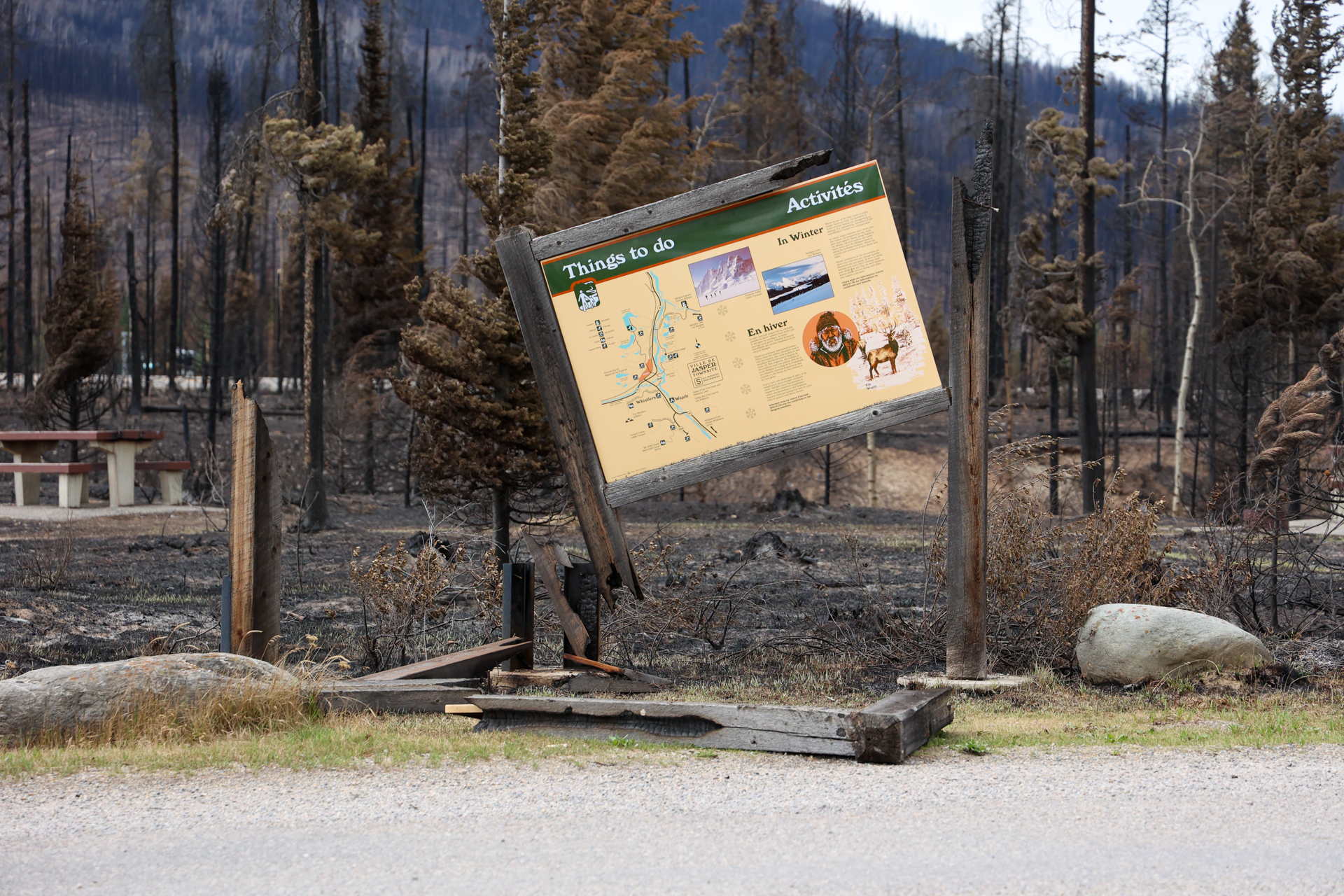
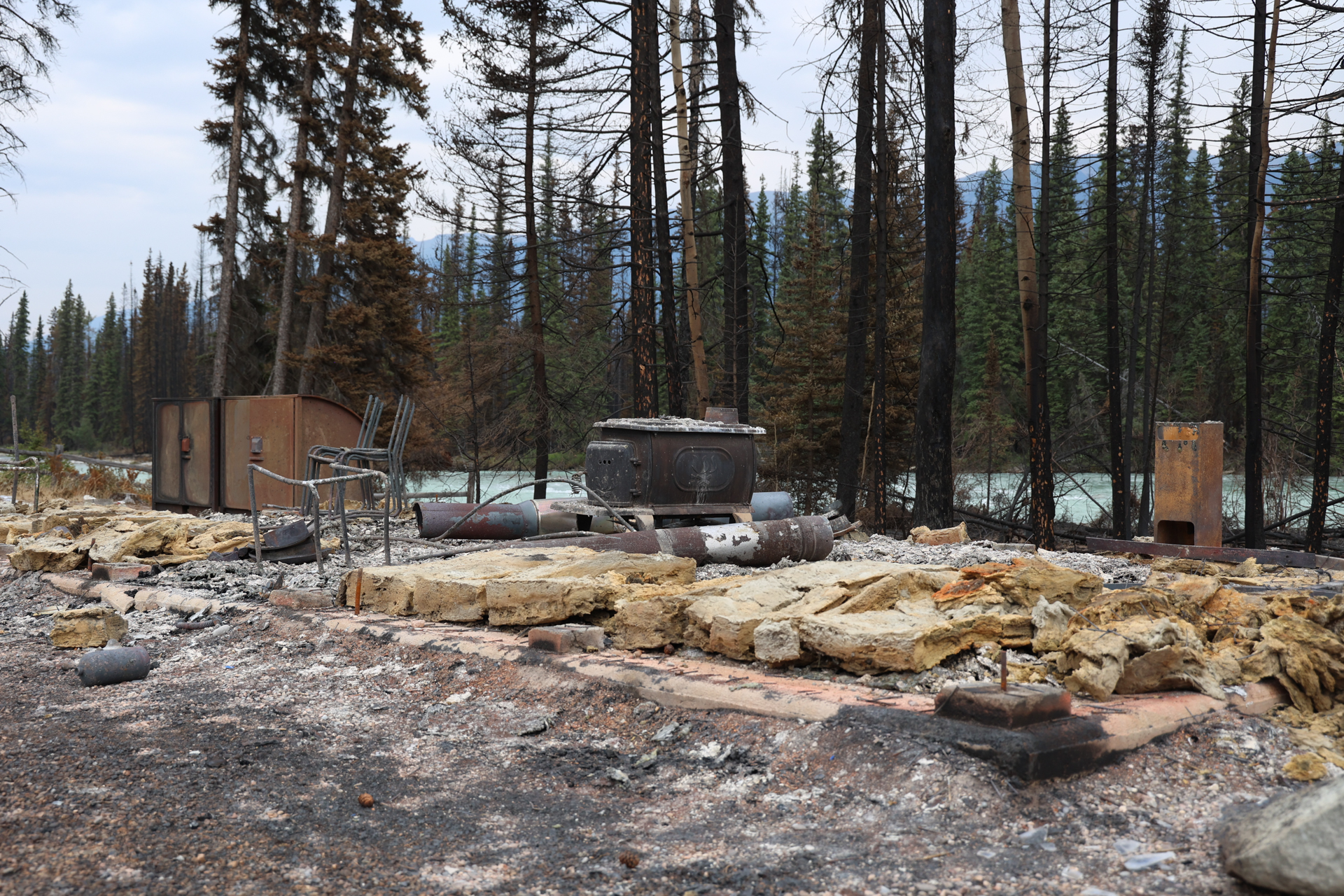
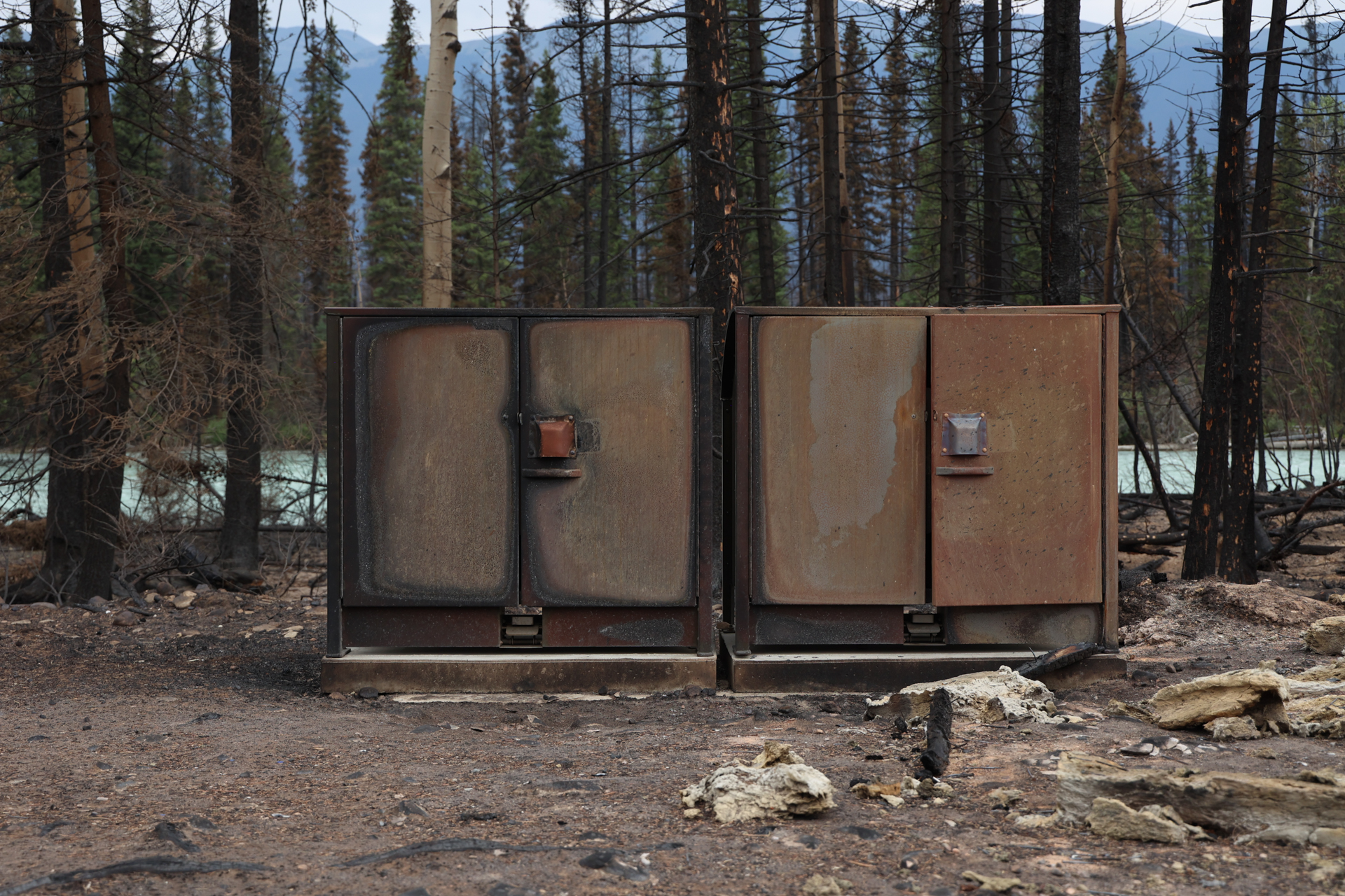
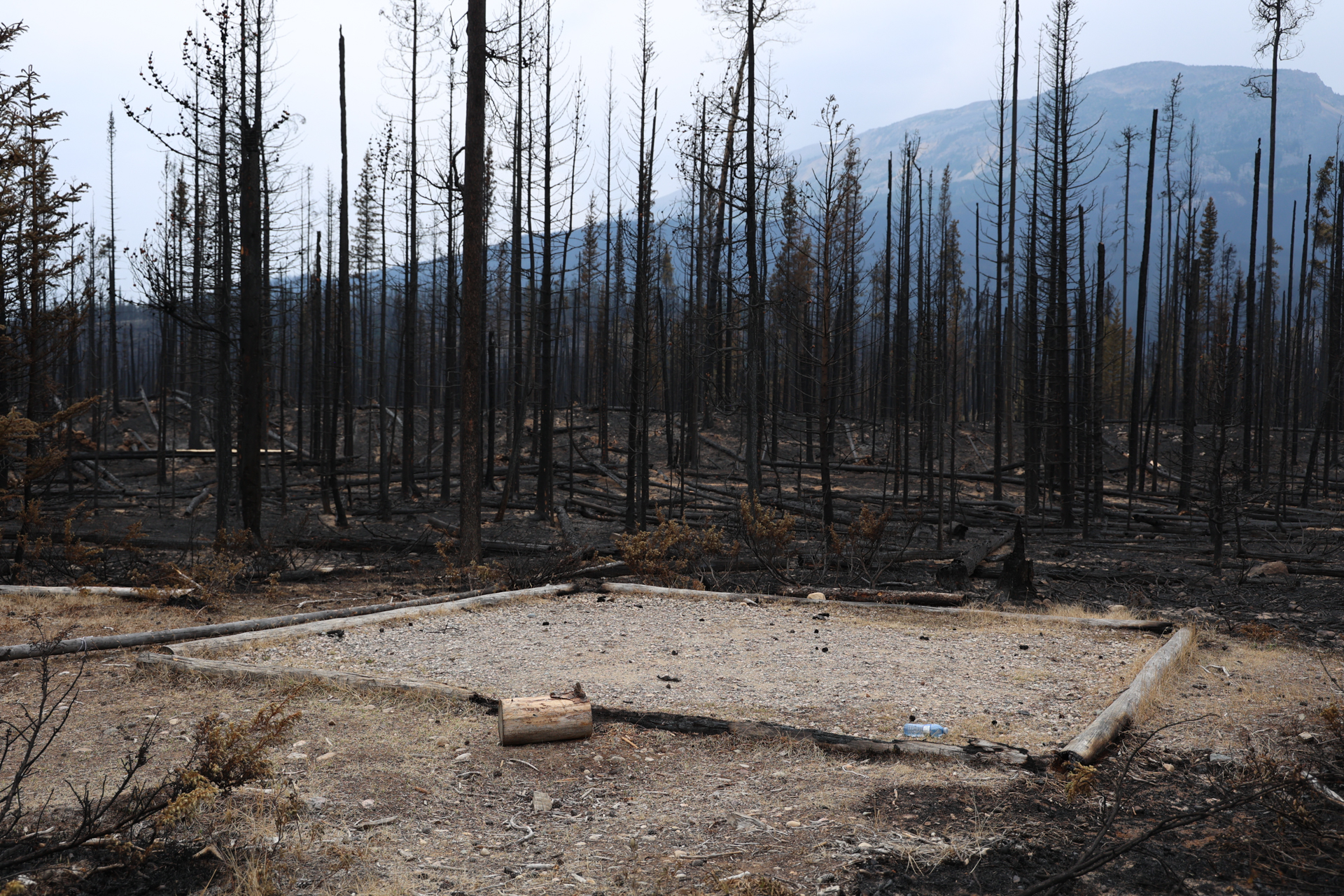
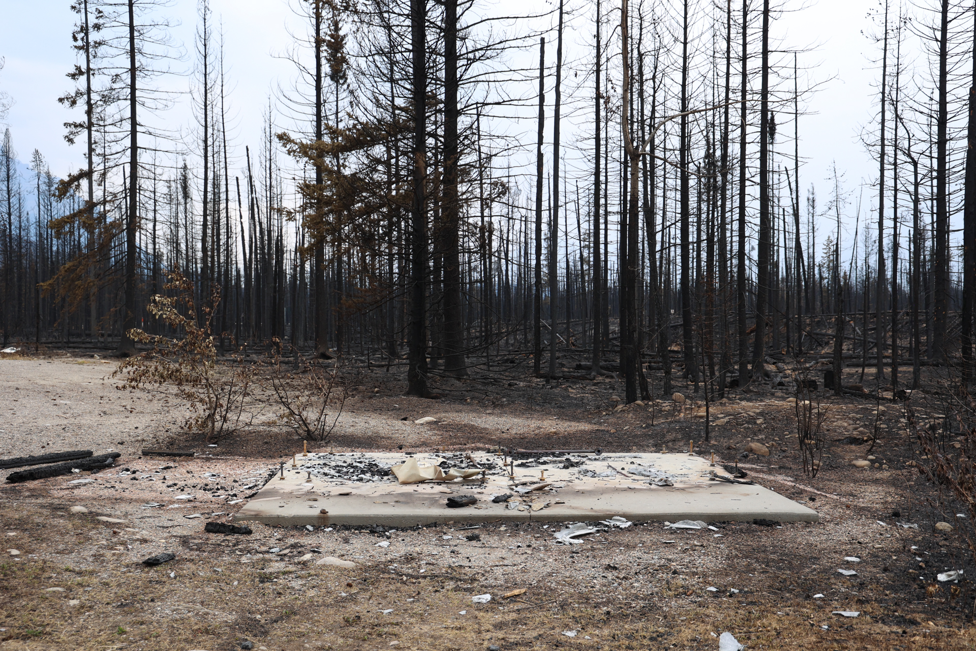
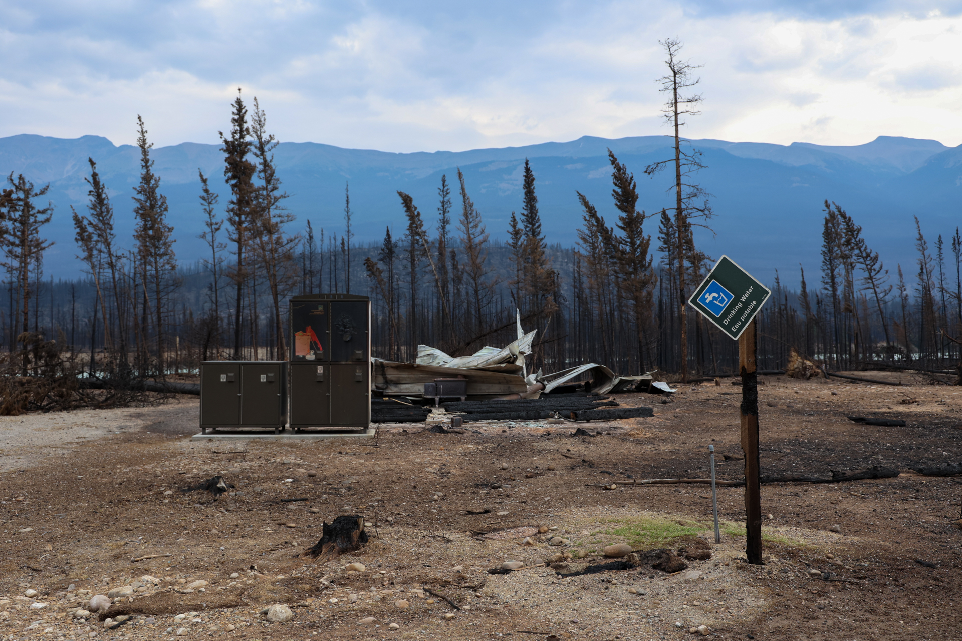
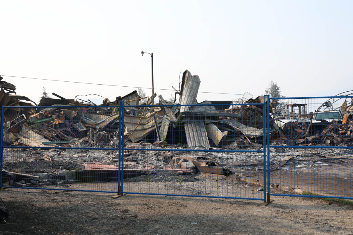
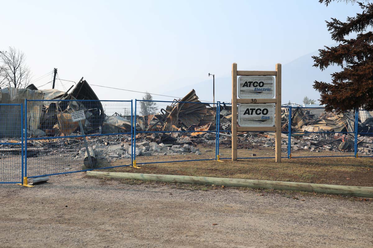
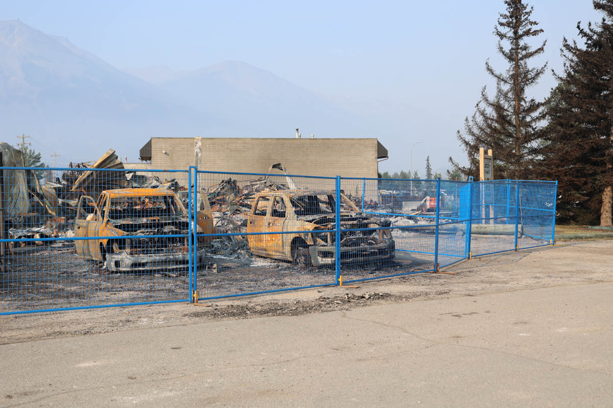
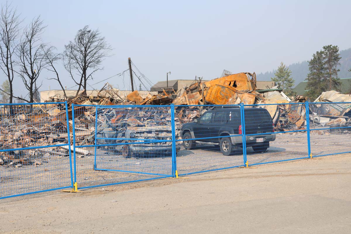
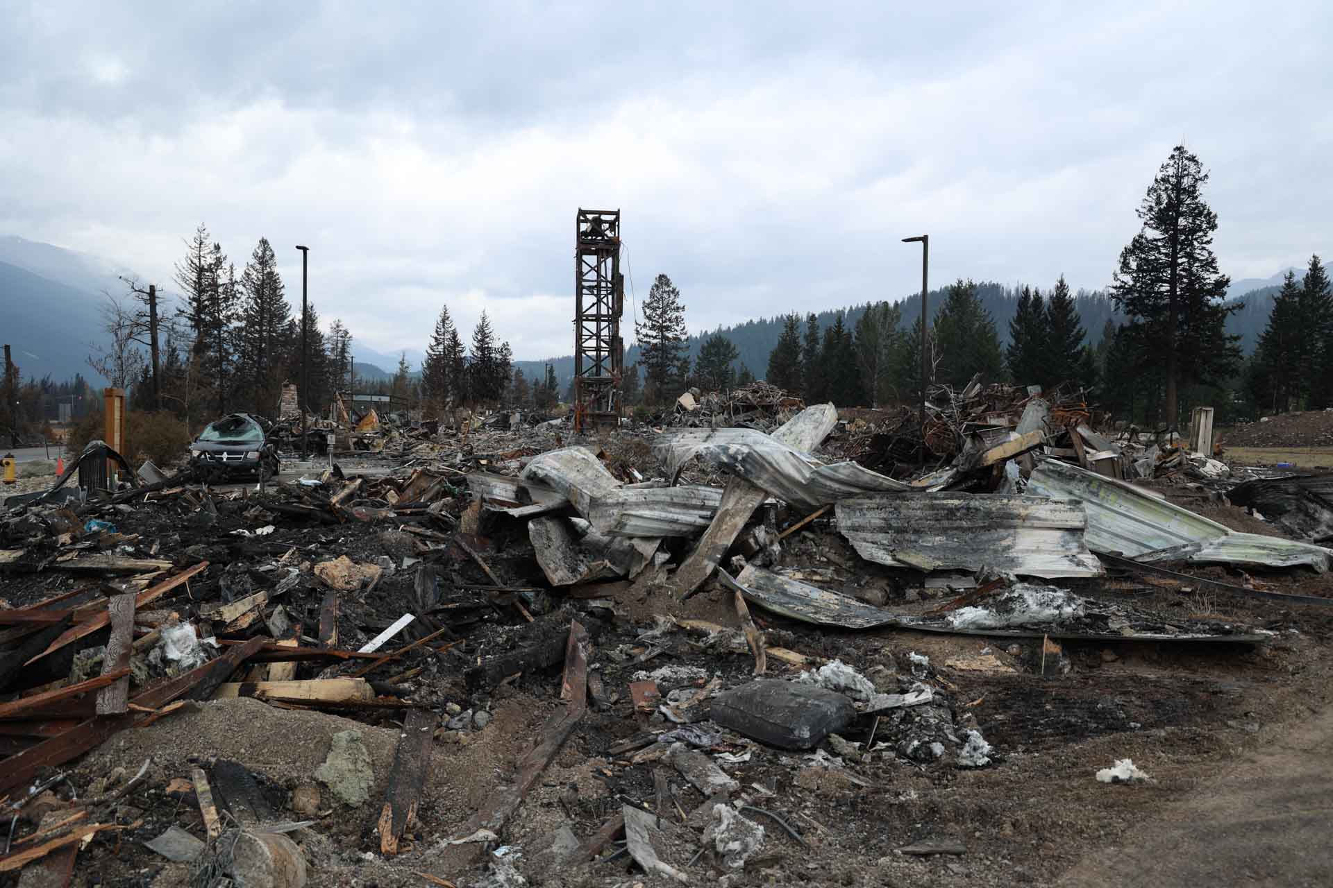
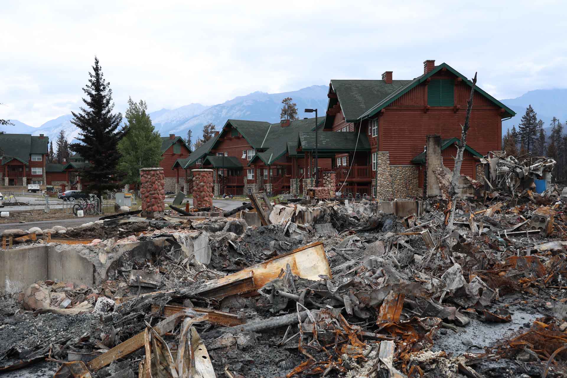
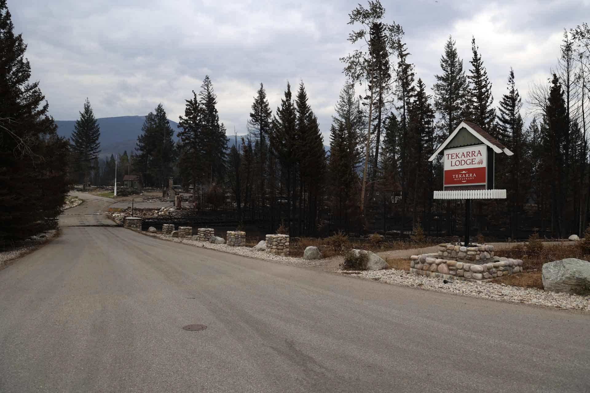
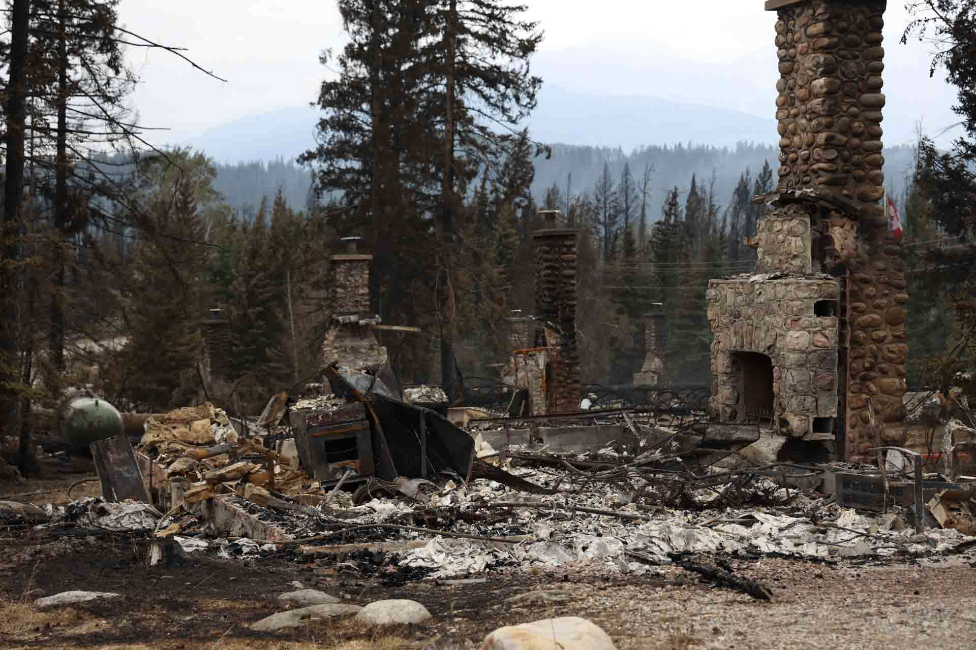
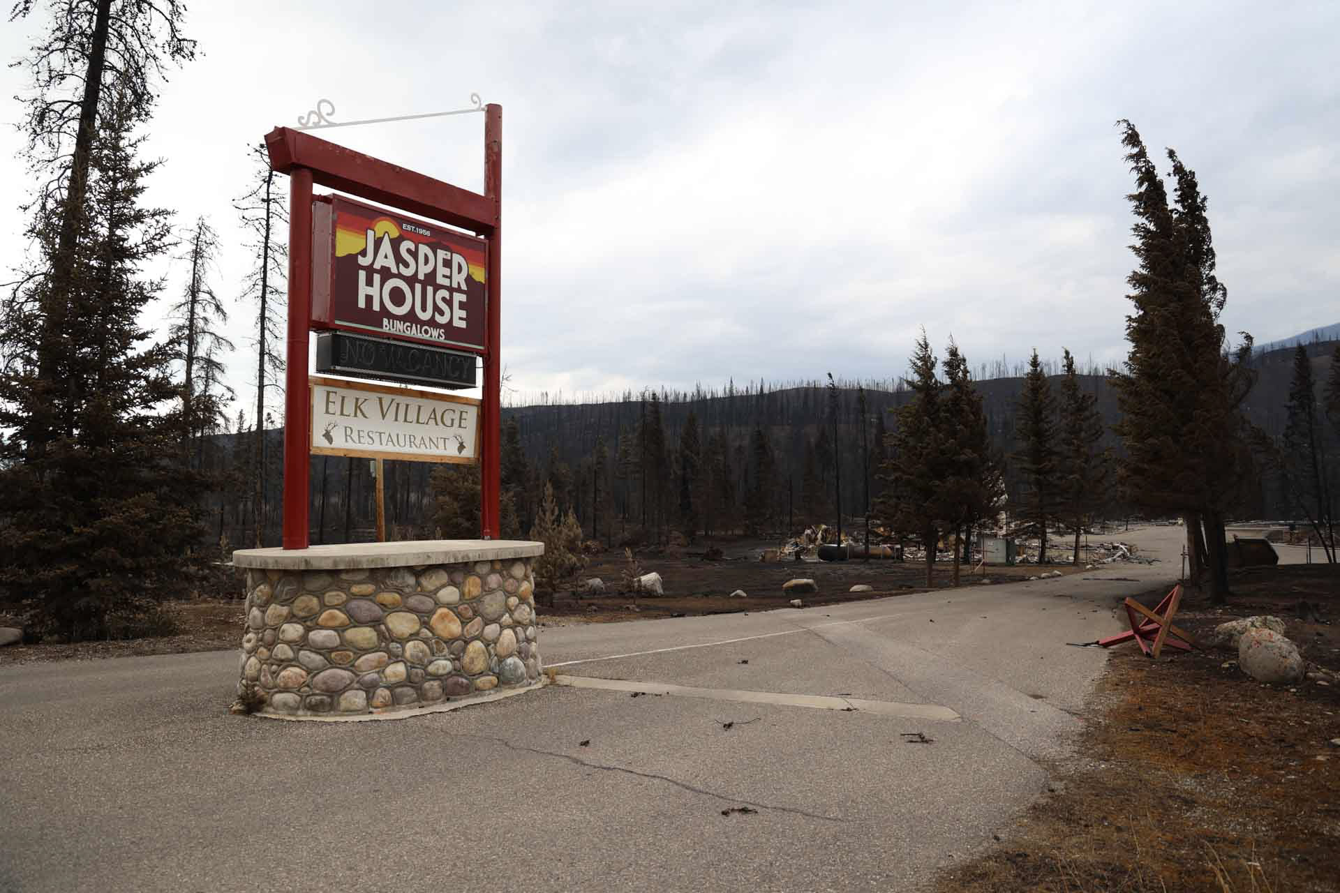
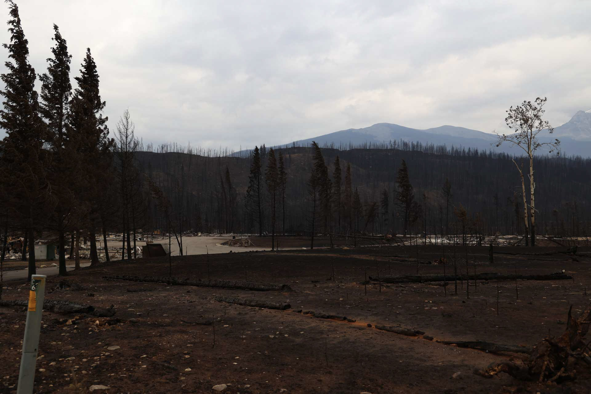
Damaged and destroyed infrastructure
Not every property is pictured.
Parks Canada infrastructure
- August 20, 2024:
- August 7, 2024:
- August 5, 2024:
- July 31, 2024:
- July 29, 2024:
- July 27, 2024:
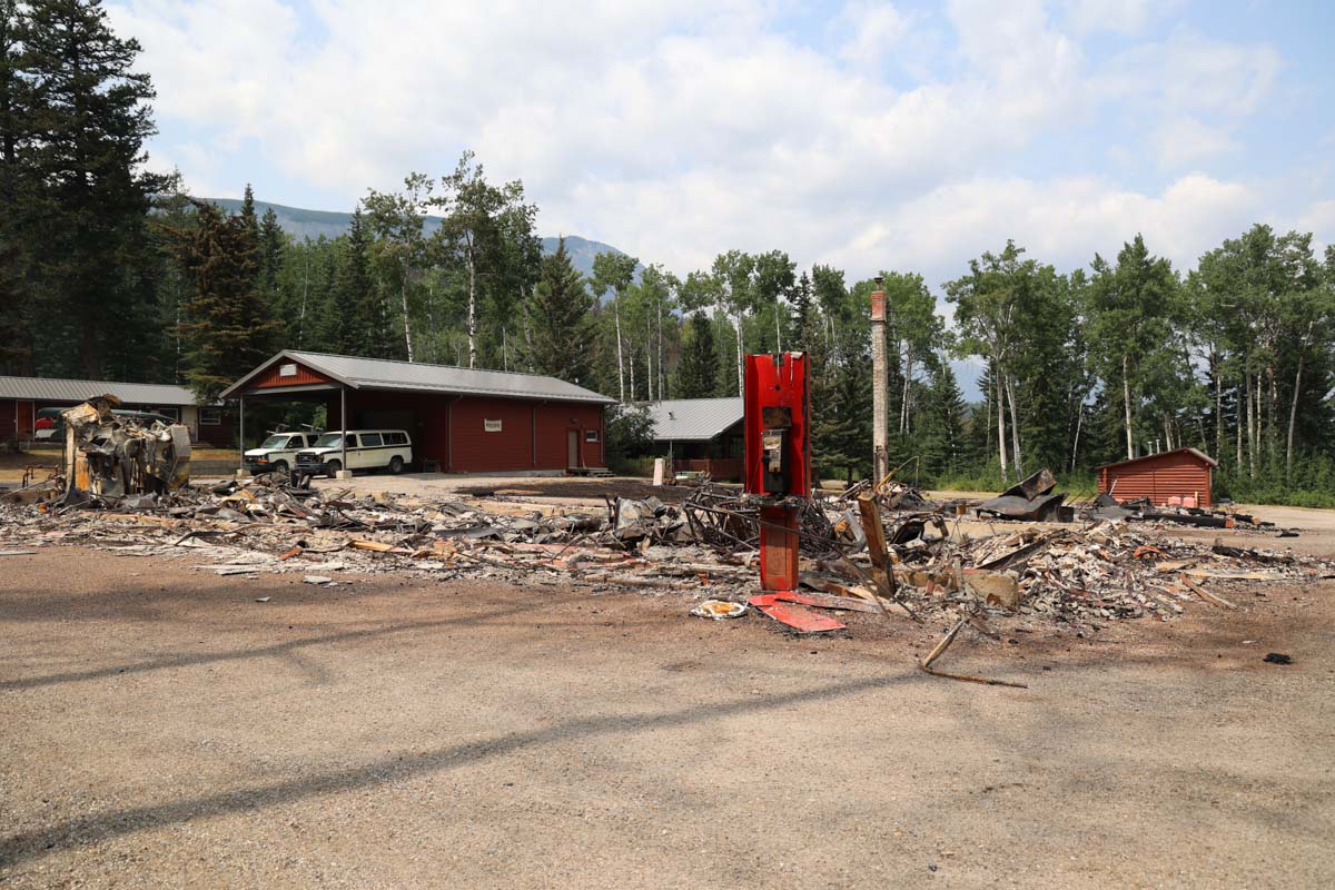
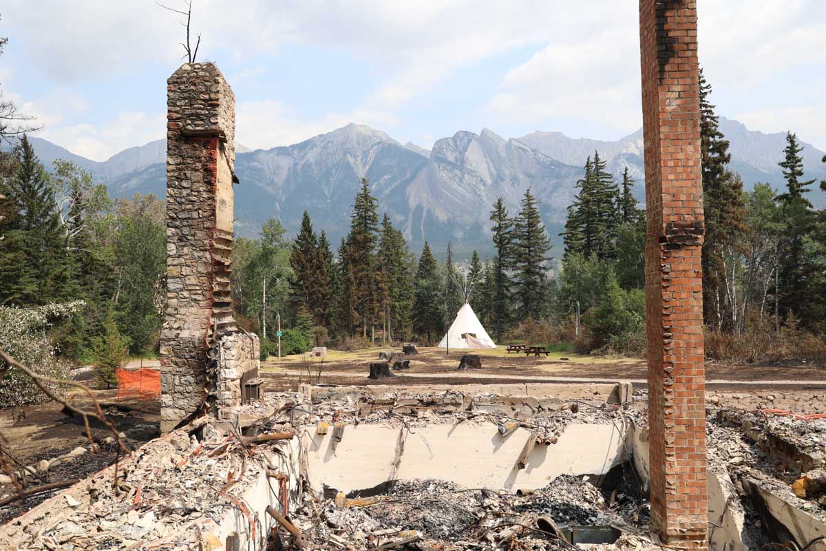


Inside of town


Outside of town
- August 4, 2024:
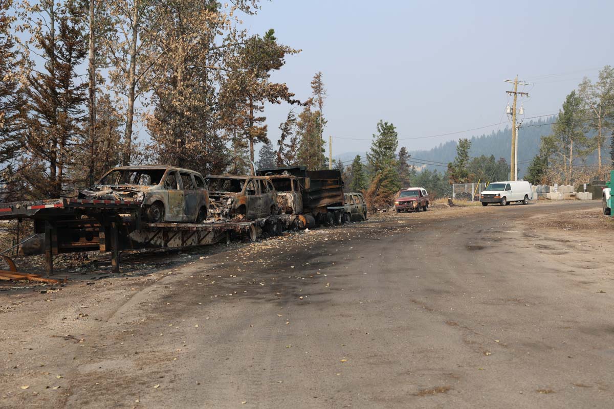
- July 29, 2024:
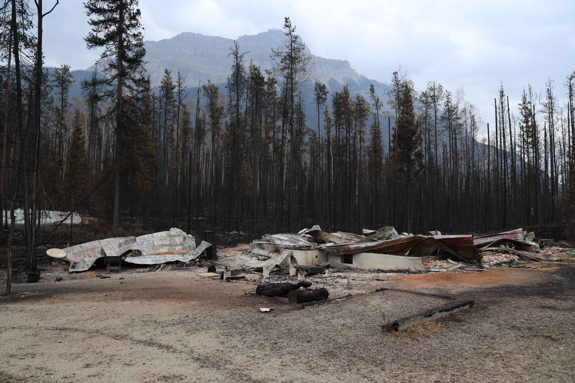
- July 28, 2024:
- July 27, 2024:
- July 26, 2024:


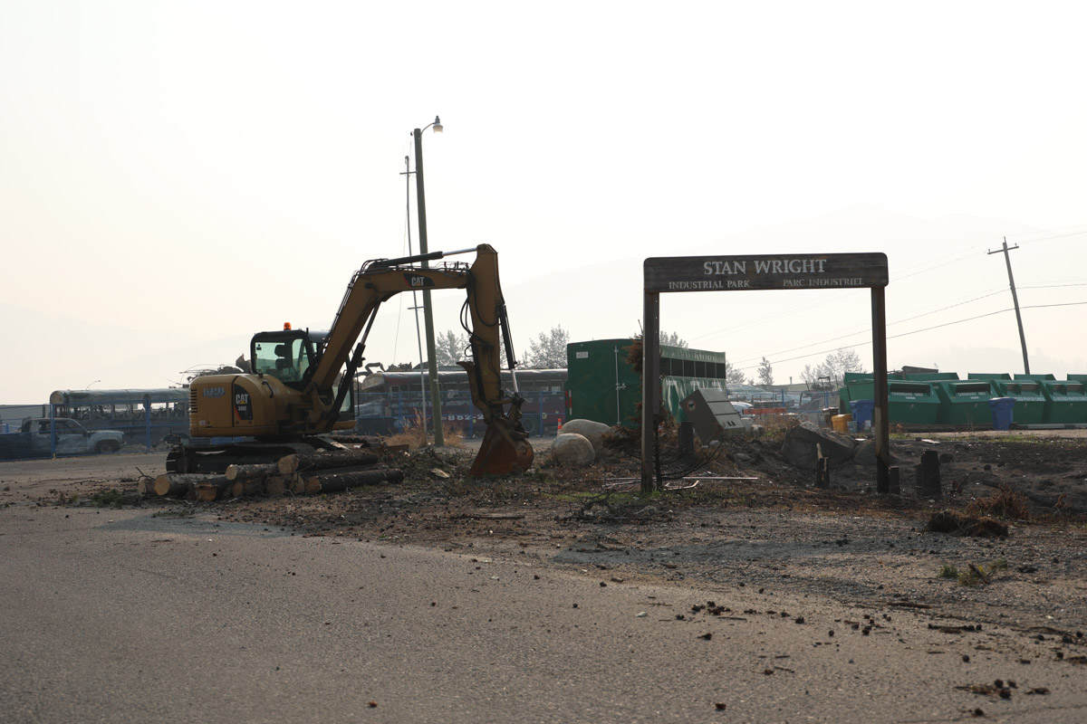
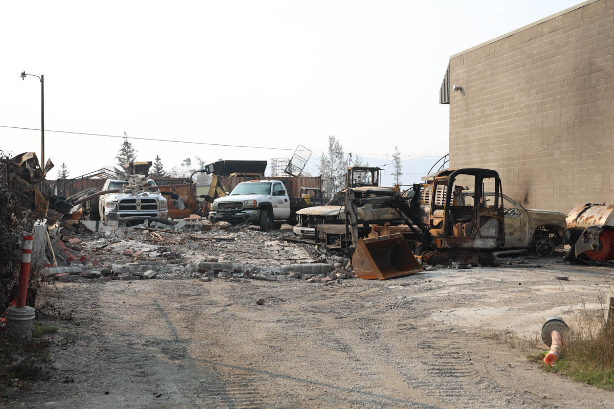
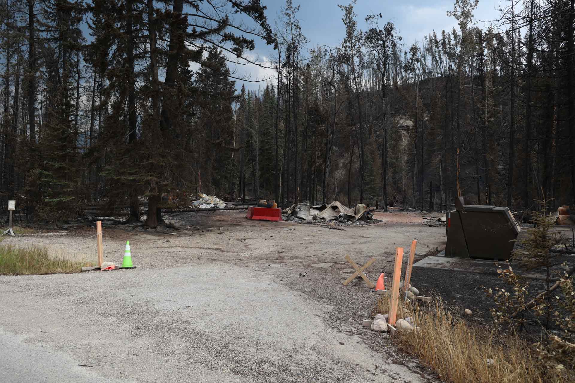
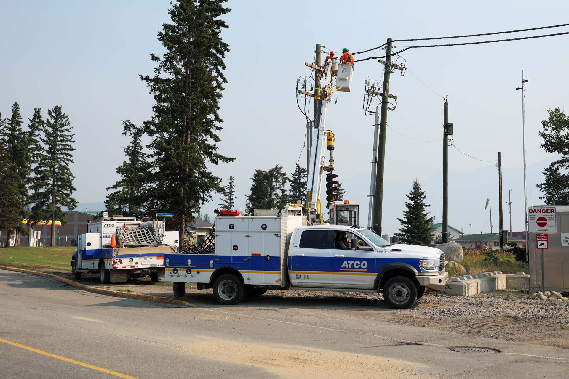
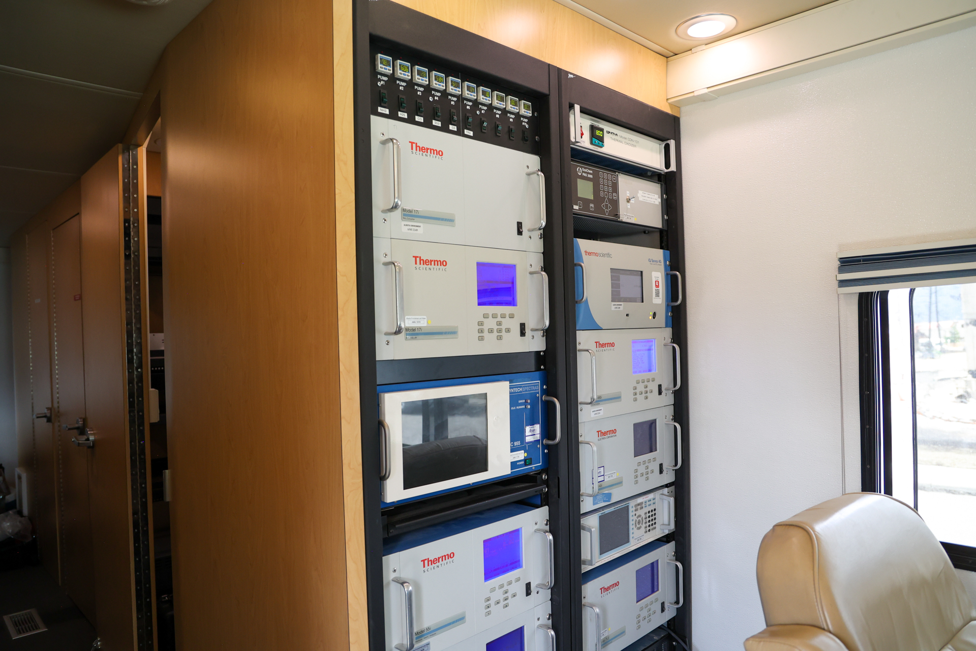
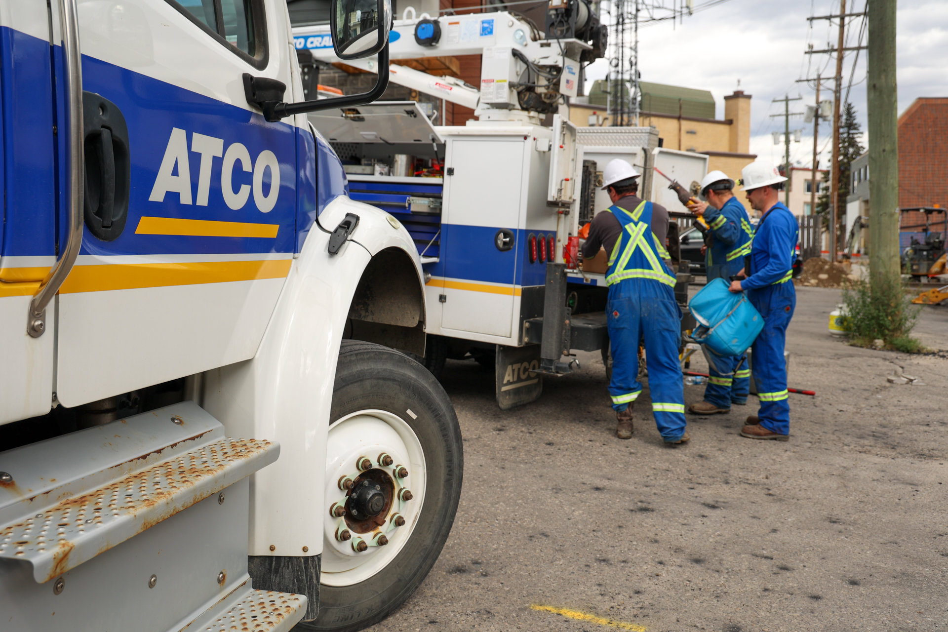
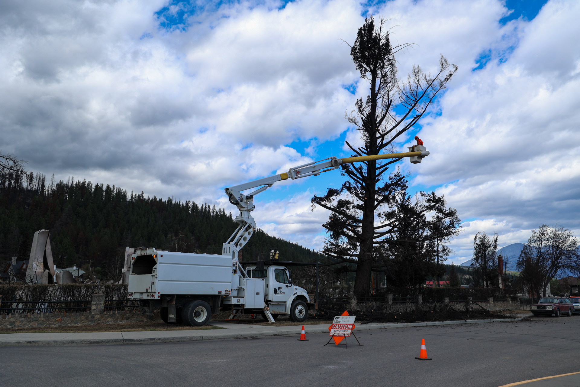
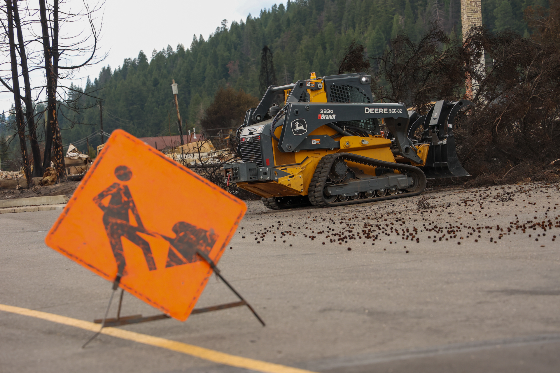
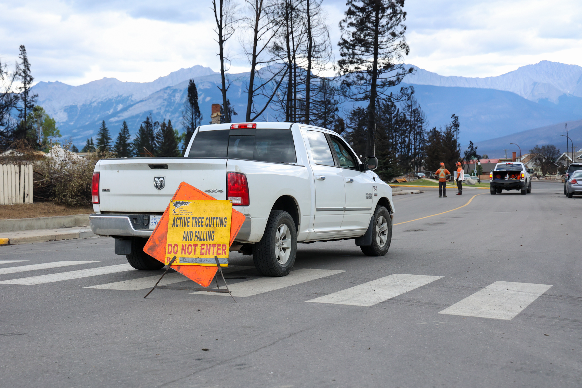
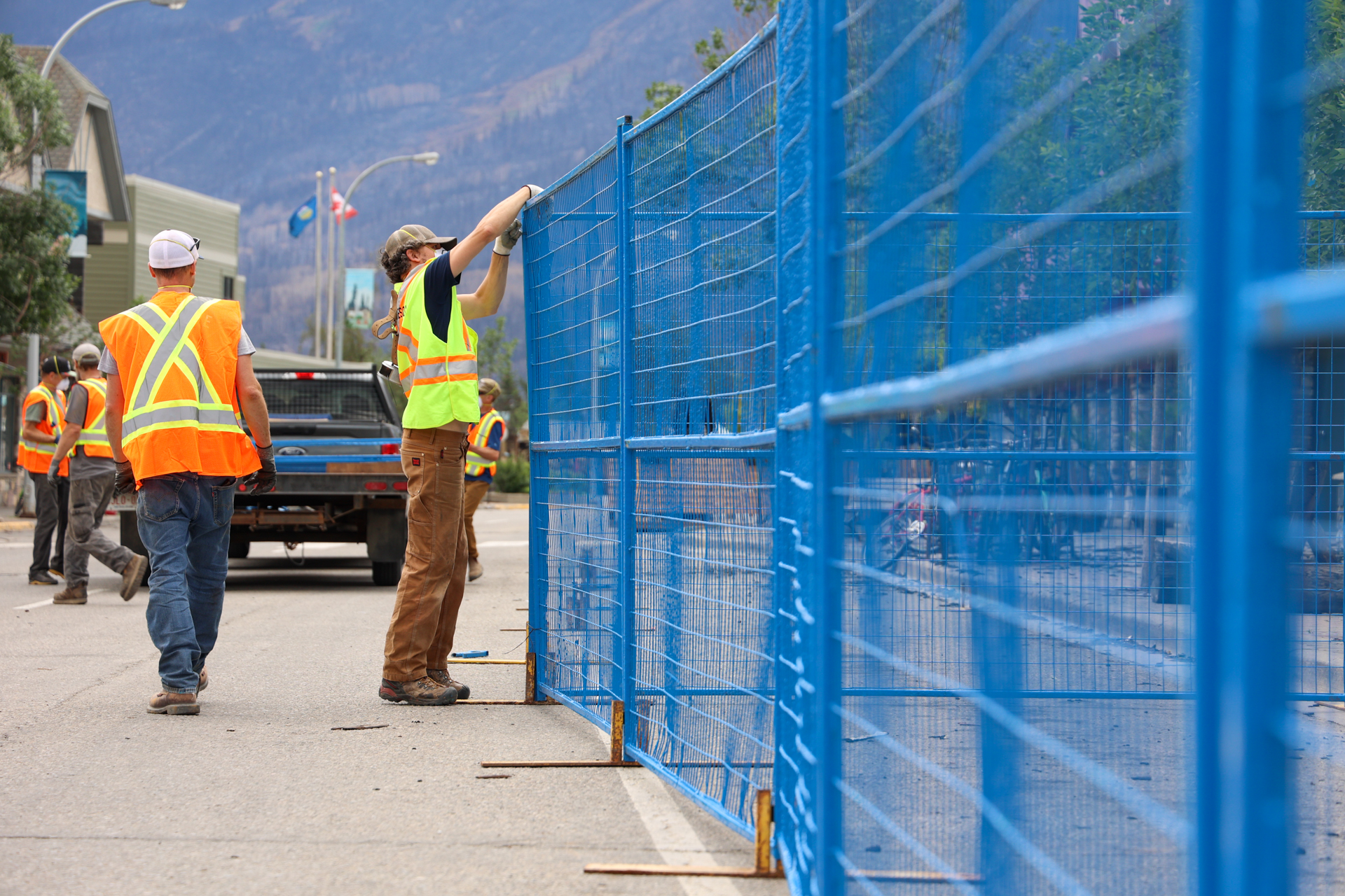
Re-entry preparations
Re-entry preparations
The images below show the various tasks required to facilitate re-entry. Residents re-entered Jasper on August 16, 2024.
Blurred images depict damage to infrastructure. You do not need to view these photos. However, we know that for some people, seeing images is helpful to process grief and loss.
Emotional support and mental health
- August 9 2024:

- August 8 2024:
- August 2 2024:

- July 31 2024:


Rapid damage assessment of Outlying Commercial Accommodations and Parks Canada facilities
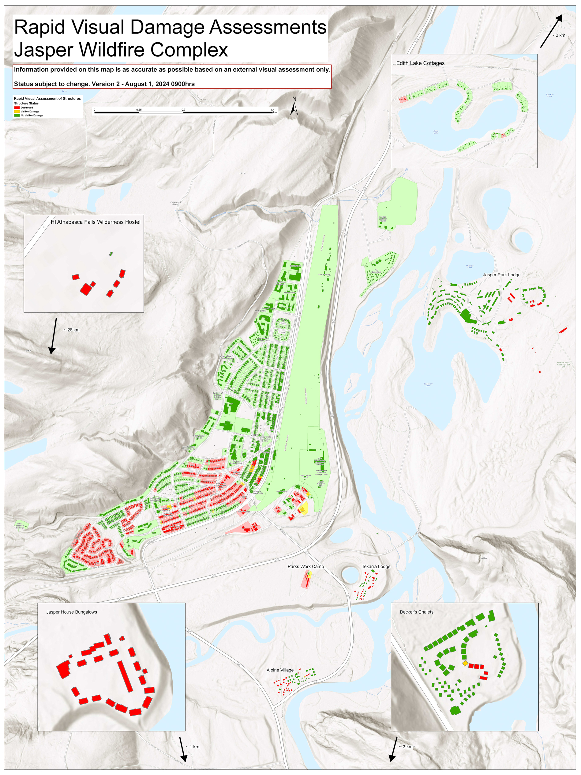
This map shows the rapid infrastructure assessments of Outlying Commercial Accommodations and Parks Canada facilities. Properties in green have no visible damage. Properties in yellow have visible damage. Properties in red are destroyed.
Note: This is a RAPID assessment only. Some of the structure footprints for Outlying Commercial Accommodations (OCA) are out of date so some actual structure numbers may be higher or lower than reported.
Locations
Highway 16 / Maligne Road
| Location | Total number of structures | No damage | Fire damage | Wind damage | Destroyed |
|---|---|---|---|---|---|
| Lake Annette Road | 9 | 9 | 0 | 0 | 0 |
| Lake Edith Road | 1 | 1 | 0 | 0 | 0 |
| Lake Edith Cabins | 81 | 77 | 0 | 0 | 5 |
| Jasper Park Lodge | 121 | 109 | 0 | 0 | 12 |
| Maligne Canyon Wilderness Hostel | 6 | 0 | 0 | 0 | 6 |
| Maligne Lookout | 3 | 1 | 0 | 0 | 2 |
| Maligne Range (Park horse facility) | 4 | 1 | 0 | 0 | 3 |
| Maligne Wilderness Kitchen | 9 | 7 | 0 | 0 | 2 |
| Moberly Bridge (to Jasper Park Lodge) | 1 | 0 | 1 | 0 | 0 |
| Palisades Stewardship Education Centre | 19 | 9 | 1 | 0 | 9 |
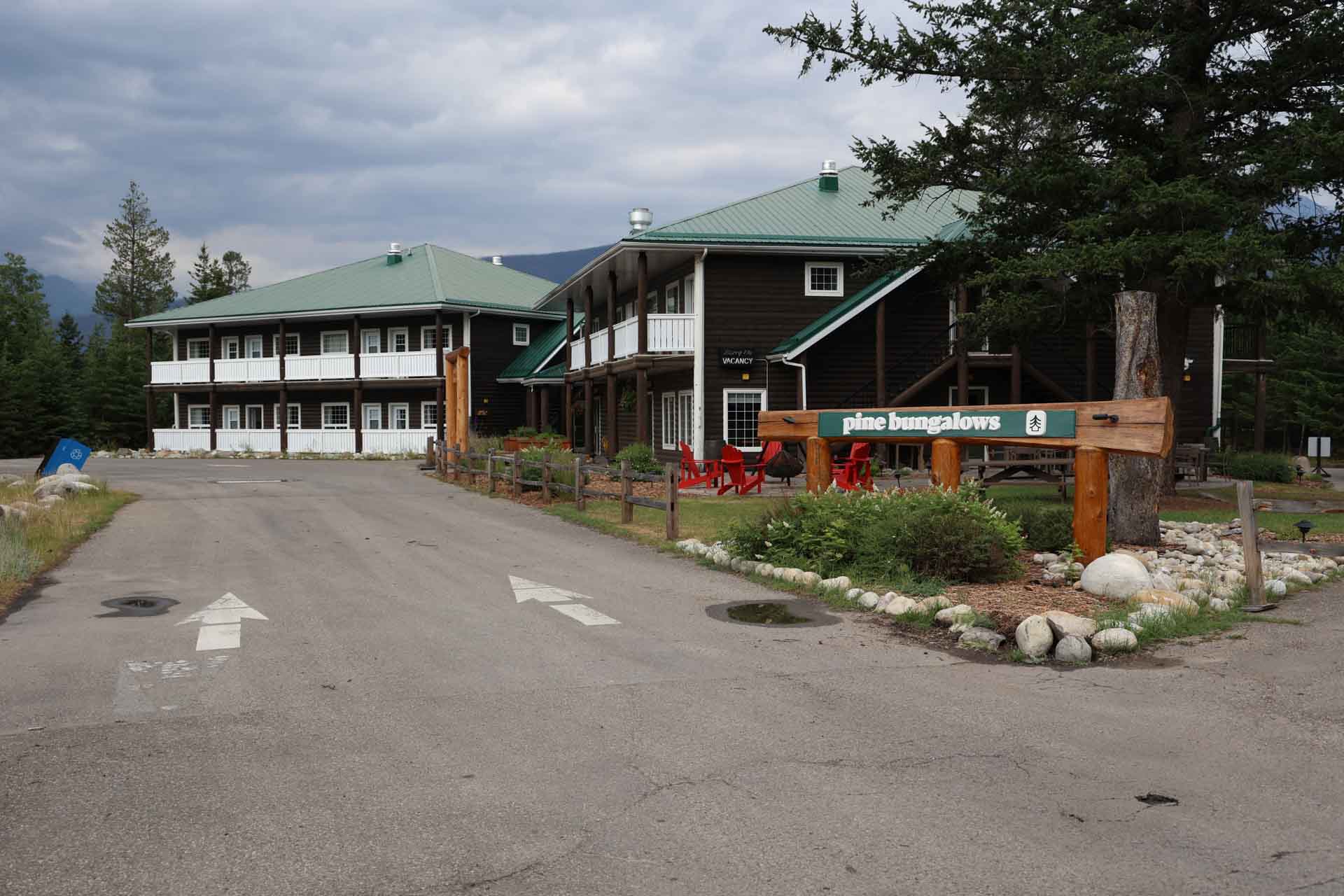
| Pine Bungalows | 81 | 81 | 0 | 0 | 0 |
| Skyline Trailhead | 1 | 0 | 0 | 0 | 1 |
| Tekarra Lodge | 42 | 15 | 0 | 0 | 27 |
| 5th Bridge | 3 | 3 | 0 | 0 | 0 |
| 6th Bridge | 1 | 1 | 0 | 0 | 0 |
Icefields Parkway (93N) and 93A
| Location | Total number of structures | No damage | Fire damage | Wind damage | Destroyed |
|---|---|---|---|---|---|
| Alpine Village | 54 | 27 | 1 | 0 | 26 |
| Athabasca Falls Viewpoint | 7 | 7 | 0 | 0 | 0 |
| Athabasca Falls Wilderness Hostel | 8 | 2 (Outhouses) | 0 | 0 | 6 |
| Athabasca Pass Viewpoint | 1 | 0 | 0 | 0 | 1 |
| Becker's Chalets | 72 | 66 | 1 | 0 | 5 |
| Cavell Staff House | 4 | 1 | 0 | 0 | 3 |
| Geraldine Road/Caribou Conservation Breeding Facility | 5 | 3 | 1 | 0 | 1 |
| Horseshoe Lake Day Use | 2 | 2 | 0 | 0 | 0 |
| Highway 16 Lift Station | 1 | 1 | 0 | 0 | 0 |
| Jasper House Bungalows | 23 | 0 | 0 | 0 | 23 |
| Jasper SkyTram | 3 | 3 | 0 | 0 | 0 |
| Leach Lake Day Use Area | 3 | 2 | 1 | 0 | 0 |
| Miette River Lift Station | 2 | 1 | 1 | 0 | 0 |
| Park Gates – Icefields Parkway | 3 | 0 | 0 | 0 | 3 |
| Shovel Pass Trailhead | 1 | 0 | 0 | 0 | 1 |
| Wabasso Campground | 16 | 6 | 0 | 0 | 10 |
| Wabasso South Day Use | 2 | 1 | 0 | 0 | 1 |
| Wapiti Campground | 24 | 15 | 1 | 0 | 8 |
| Whirlpool River Day Use Area/Group Camp | 2 | 1 | 0 | 0 | 1 |
| Whistlers Campground | 72 | 48 | 4 | 4 | 16 |
| Whistlers Water Supply | 2 | 0 | 1 | 0 | 1 |
| Whistlers Hostel (Abandoned) | 2 | 1 | 0 | 0 | 1 |
| Highway 93A Dump Station | 1 | 1 | 0 | 0 | 0 |
- Date modified :